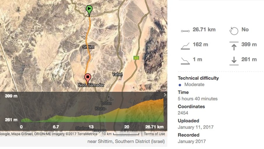
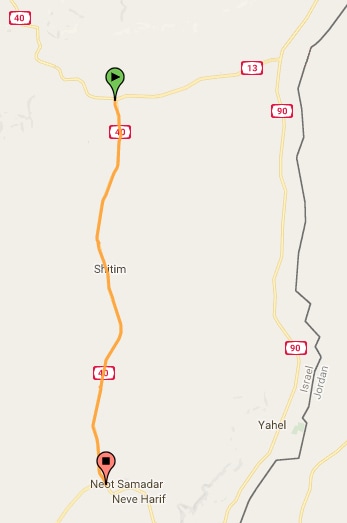
Tsihor to Shizafon
Section 39, 27 km
|
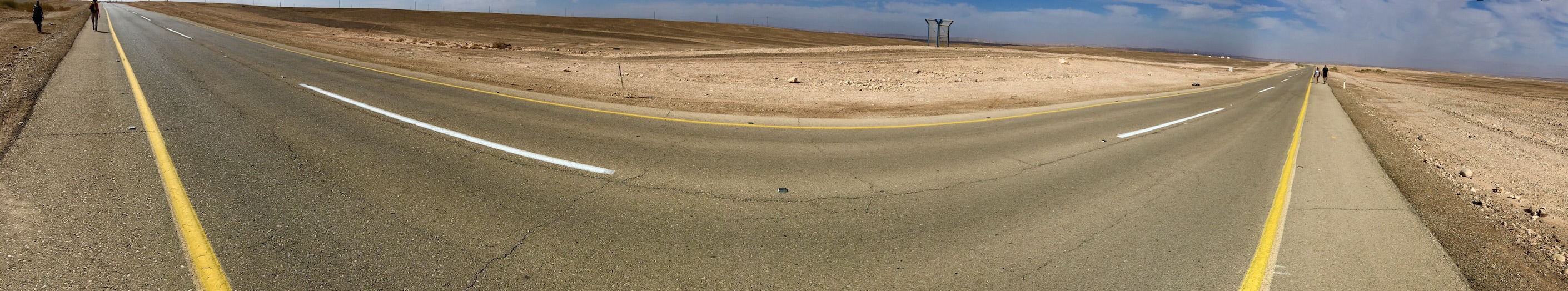
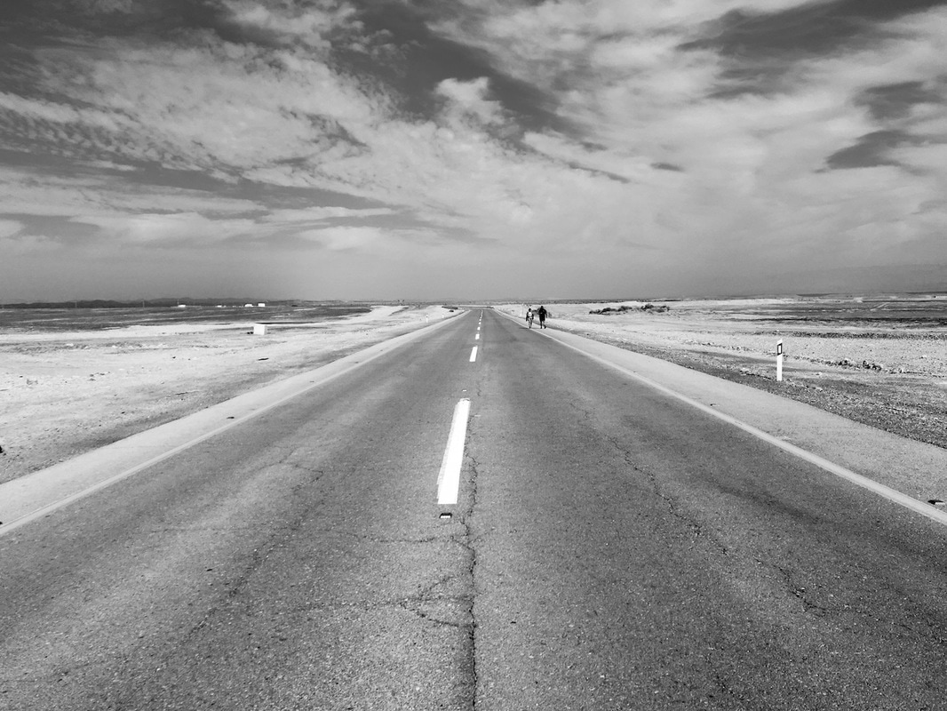
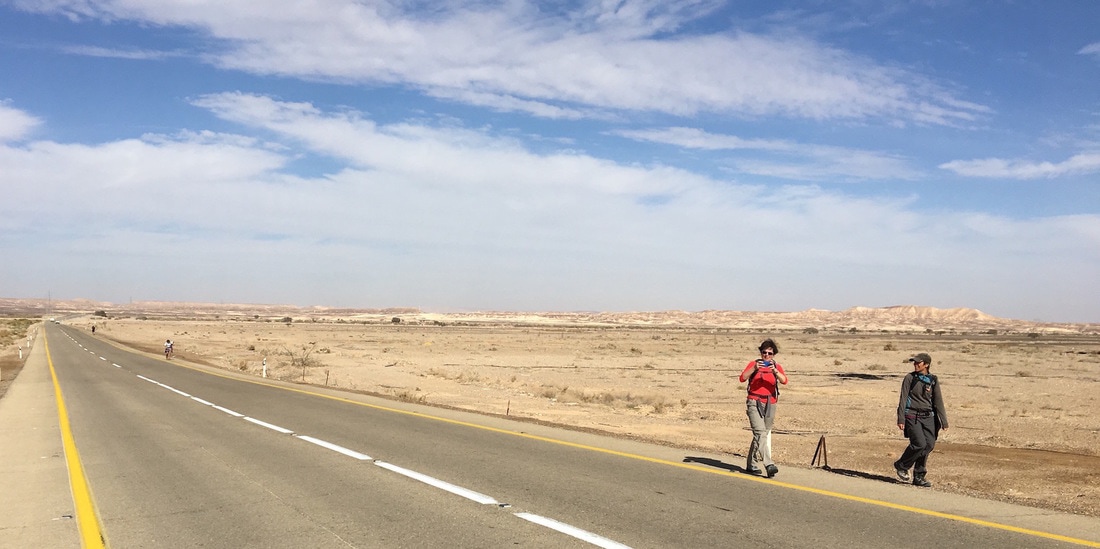
So here we are, ready to take on the most boring, dreaded and most skipped part of the Israel Trail. Most shvilistim, the through hikers who do the whole trail in one six-week go, leave this part out. We have picked up hikers hitching on Highway 40 road who are avoiding this 27-kilometer segment. Others do this section by bicycle.
But we have become trail purists and if the trail follows a flat highway for hours, we will take the path less travelled – or paved shoulder in this case. We could not bear the thought of not leaving our footprints on even this least loved section of the INT. 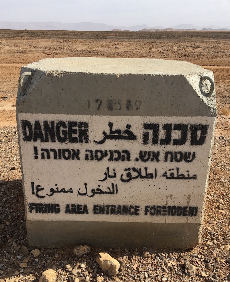
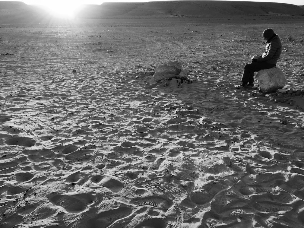
We were able to take a break in the shade of a very large tree along the way. It was just like going out for a pleasant walk with friends, just that this walk went on for around 27km.
We passed a number of encampments where soldiers looking in our direction seemed to be mildly amused by our presence in their neighbourhood. And since we were expecting the worst, we were pleasantly surprised. It was a beautiful day. Warm most of the time and only chilly when the sun briefly fled behind the clouds. |
Link to WikiLoc Trail Map
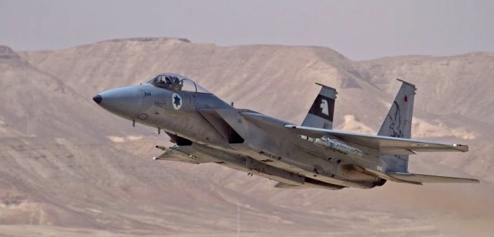
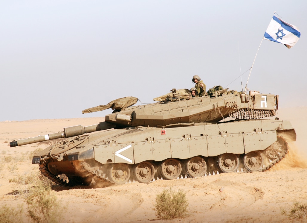
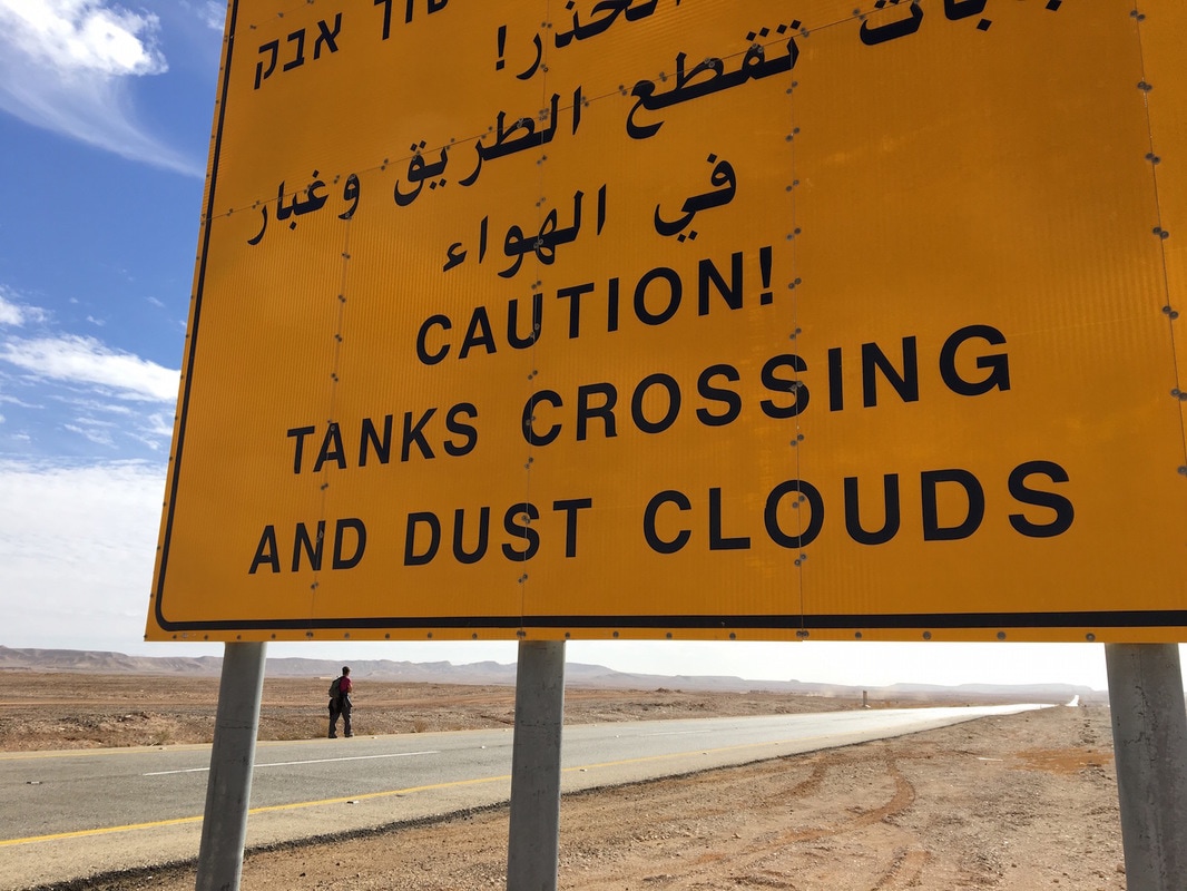
This segment, between Tzihor and the Shizafon summit hugs the highway as there are army bases lining each side of the road. So instead of being wowed by deep canyons and ibex, mountain ascents and wild flowers, we had a full-on military show. The entire walk is along side one endless firing range. It is the playground of tanks on the ground and fighter jets in the sky. The road may be flat, but the scenery on either side is still spectacular, with the Eilat Mountains looming to the south and Jordan’s mountains towering to the east. No flora except a few lonely purple buds. Instead, our feet stepped over tank tracks, and a few empty gunshell cases. 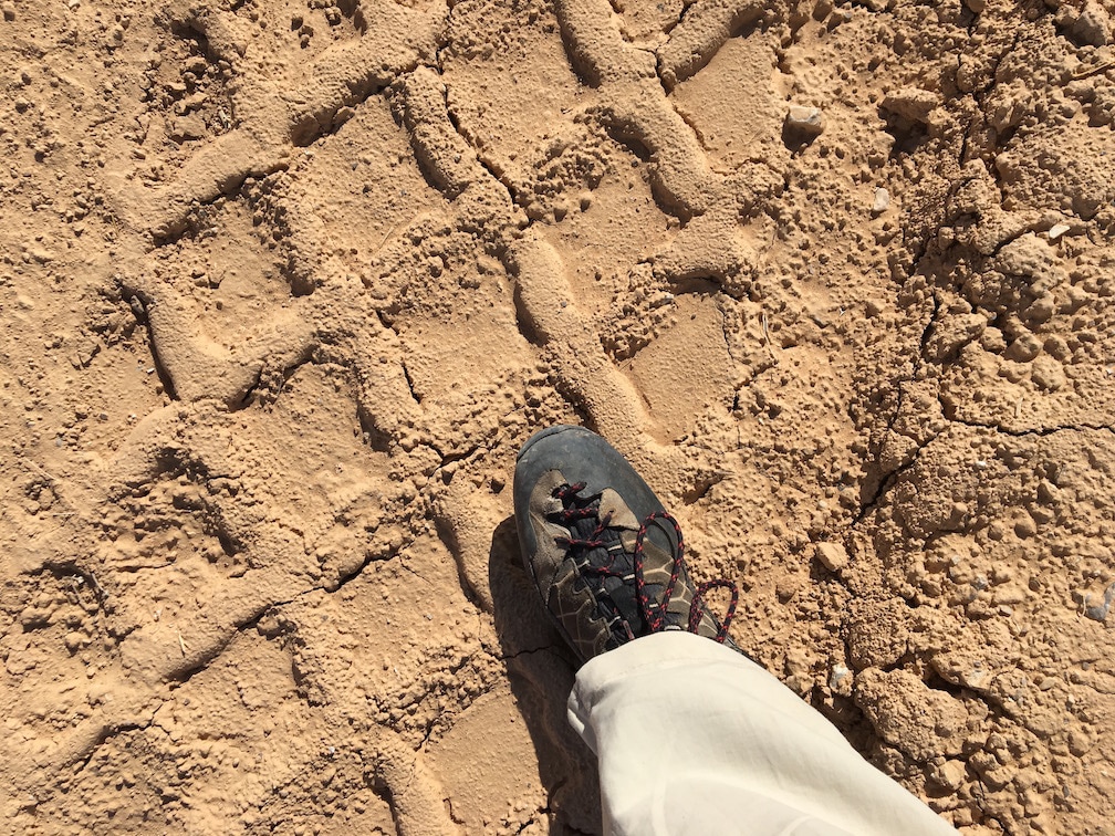
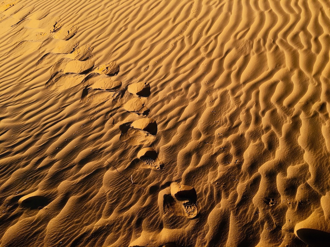
Tank tracks
|
We heard rat-a-tat gunfire from a shooting range, heard tank missiles being fires and saw them exploding in the far mountains. We saw soldiers practicing in a mock village, learning house-to-house combat. We passed encampments of tents where soldiers stood in formation, waiting for their next orders.
The entire stretch of road, on both sides, was filled with military activity all day long. It was almost mesmerizing - except for the explosive booms. |
Well, if you look way, way up at the deep blue sky, you can see a most incredible air show as the Israeli air force flies over in perfect formation in the world’s fastest, most advanced jets. And if you look out to the hills, enormous tanks practice military manoeuvres in one huge sandbox.
|
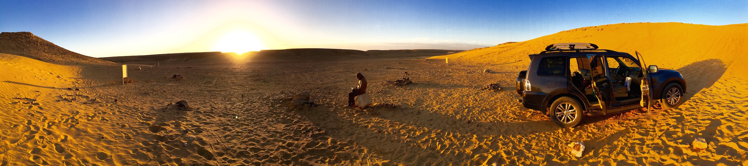
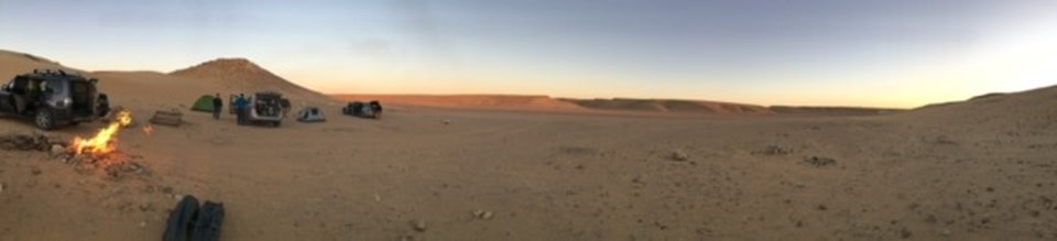
One thing that we would recommend is to spend the night before camped beneath the stars at the sand dunes campground near Shacharut. It’s only about a 10-minute drive from the trailhead and it’s really quite beautiful there.
|
And as we walked past these vast machines churning up clouds of sand, and saw the young soldiers learning combat, we felt proud and privileged. For the first time in several thousand years, we are living in our land and being protected by our own Jewish army.
It may be covered in asphalt, but this portion of the trail is important and not to be missed. It is thanks to the soldiers training here that we can safely hike the trail, our Israel National Trail in our land. 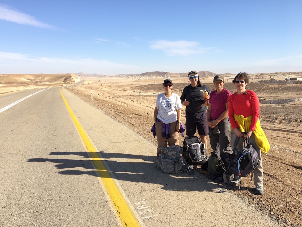
|
|
|