• Home
  • Israel National Trail
  • North
    • Kibbutz Dan to Ginosar
    • Mount Arbel
    • Kinneret to Kfar Kish
    • Kfar Kish to Mount Tabor
    • Mount Tabor (Shibli) to Nazaret Illit
    • Isifya to Nofit
    • Nahal Oren to Isifya
    • Ofer to Nahal Oren >
      • The Enchanted Forest
    • Beit Hanania to Ofer
  • Central
    • Alexander to Beit Hanania
    • Poleg to Nahal Alexander >
      • Map - Poleg Beach to Nachal Alexander
    • Poleg to Herzliya
    • Bnei Brak to Hod Hasharon >
      • Mall to Mall Revisited
    • Herzliya to Bnei Brak
    • Hod Hasharon to Road 465
    • Road 465 to Gimzo
    • Bnei Brit caves to Evan Sapir
    • Evan Sapir to Bar Giyorra
    • Tsur Hadassa to Tel Azeka
    • Tel Azeka to Beit Guvrin
    • Beit Guvrin to Tel Keshet
    • Tel Keshet to Dvira
    • Dvira to Meitar
    • Amassa to Meitar
  • South
    • Har Amasa to Arad
    • Nachal Ye'elim
    • Arad airstrip to Meitzad Tamar
    • Meitzad Tamar to Road 227
    • Road 227 to Oron
    • Carbolet
    • Mador to Ekev
    • Avdat to Wadi Hava
    • Wadi Hava to Mitzpe Ramon
    • Givanim to Gev Holit
    • Gev Holit to Sapir
    • Nahal Barak
    • Tsihor to Shizafon
    • Shizafon to Shacharut
    • Timna to Shacharut
    • Elifaz to Be'er Ora
    • Canyon Shachoret to Be'er Ora
    • En Netafim to Canyon Shachoret
    • Taba to En Netafim
  • Resources
  • Other Hikes
    • Merhav Am to Avdat
    • Nahal Daroch
    • Ein Ekev Overnight
    • Mount Ido
    • Mount Pitam
    • Merhav Am Loop Trail
    • Nachal Tze'elim to Nachal Mishmar
    • Ma'ale Tzapir
    • Emek HaMayanot I
    • Nahal Hagor and Saraf
    • Maktesh HaKatan
    • Nahal Tsafit
  • About Us
  • Hikers Poem
  • Foraging
  • Contact
RaananaHikers

Isifya to Nofit
Israel National Trail Section 14  

July 16, 2014
This is a hike that could be done in one day but we broke it up into two.  
​Click here for the one day version with Debbie, Naomi and Eta.
Waze location at Isifya
32.732897, 35.048759
Waze location at Kfar Hasidim
Waze location at Nofit

Part One - Isifya to Hasidim

Picture
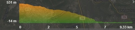
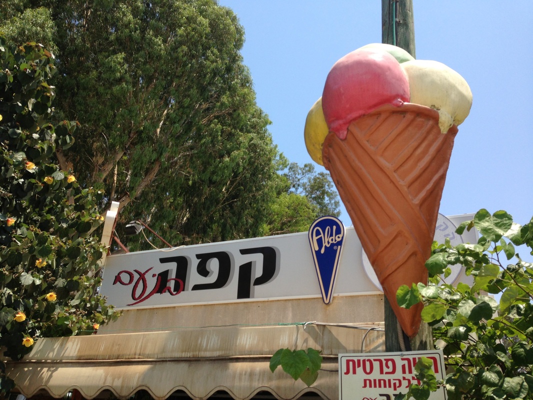
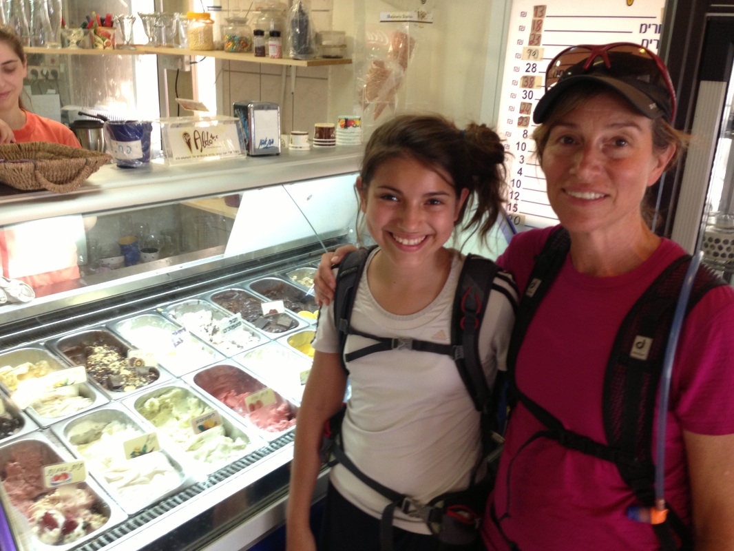
Total distance for this leg of the journey is just over 9km, almost all of which is downhill.  The accumulated downhill elevation is 620m.  There is a bathroom and picnic area after about 2km and the big prize - Aldo Ice Cream stand is at Kibbutz Yagur 7km into the hike.  This hike took us 3 and half hours with breaks

Link to Part one of the trail on Wikiloc        http://www.wikiloc.com/wikiloc/view.do?id=7347385
Picture
Picture
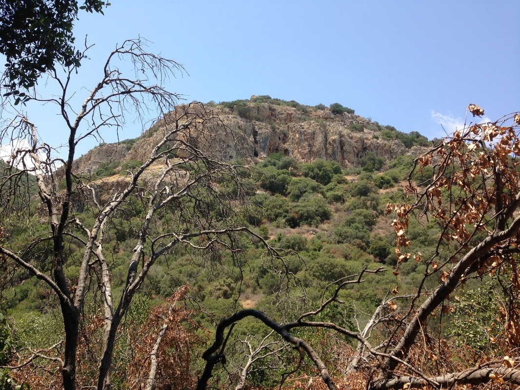
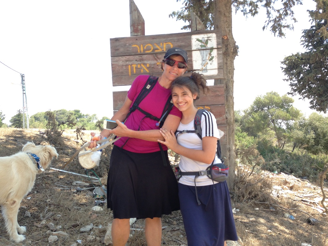
We started the hike in the Druze town of Usifya or Isifya, parking on a residential street beside the Israel Trail blaze.  The trail cut to the right into a forest and followed downhill for quite a while, taking us into a valley.  The downhill path was steep at times and we eventually entered a valley then continued downhill until we could see Kibbutz Yagur.   After sipping and slurping at the Italian gelateria we continued through the industrial part of the kibbutz then followed the trail under the highway.  We followed a road until we entered Kfar Hasidim. The road was flat, unsheltered and the heat intense. In Kfar Hasidim,  we found more cold water at a grocery store.
Picture
Picture
Picture
Picture

Part 2 - Kfar Hasidim to Nofit

Contact Us

            Resources

Other Hikes

Vacation Home in Tsfat

               Copyright © 2017