Three More Kilometers
Wednesday, January 1st, 2014
Wednesday, January 1st, 2014
|
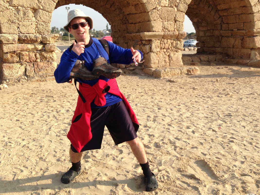
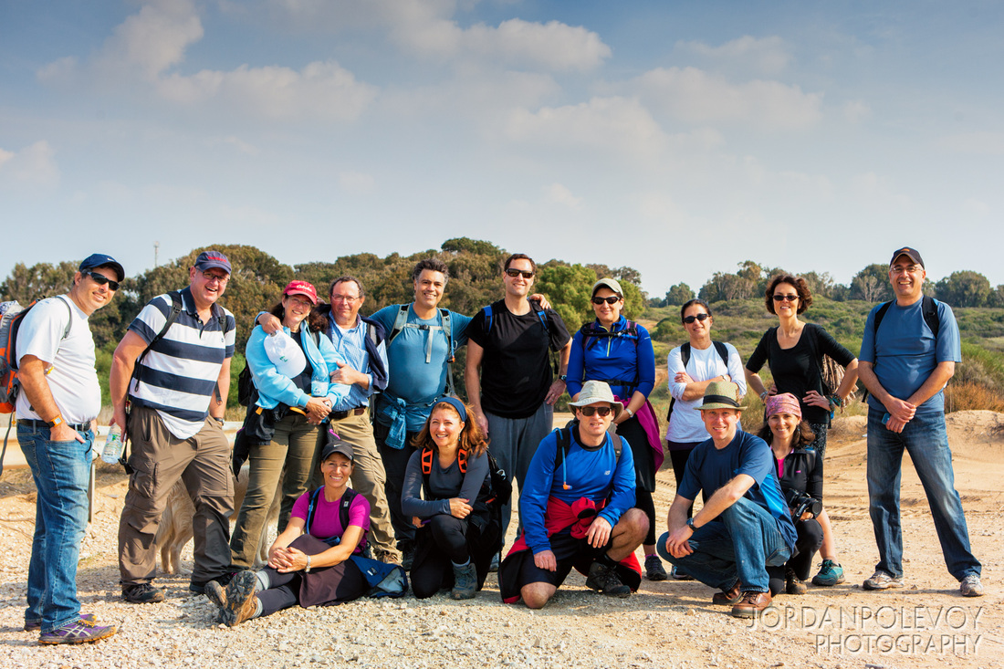
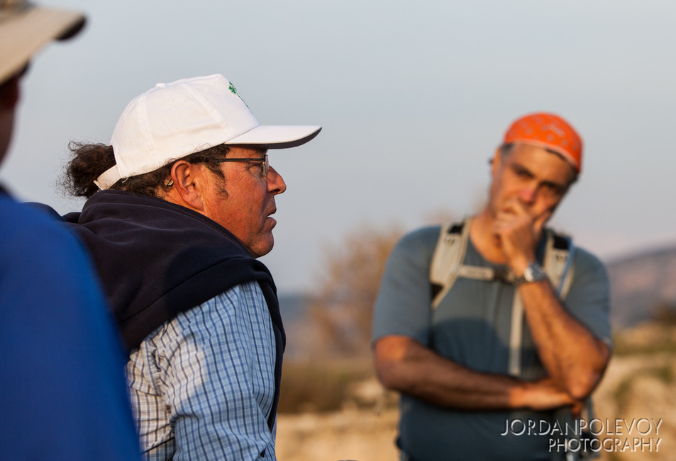
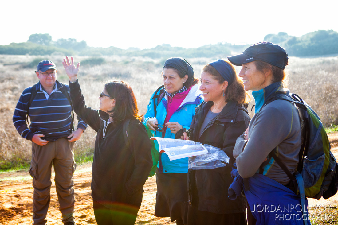
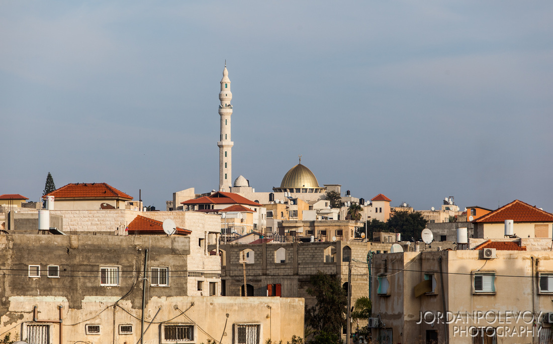
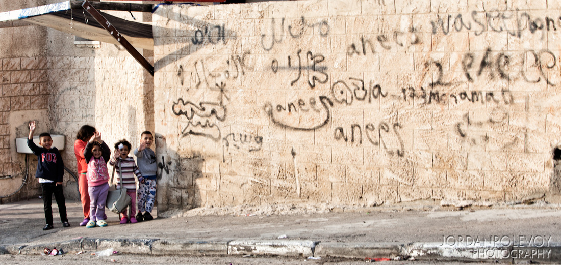
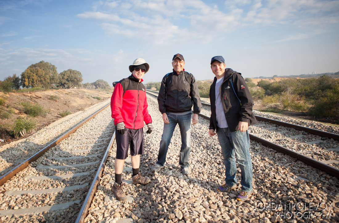
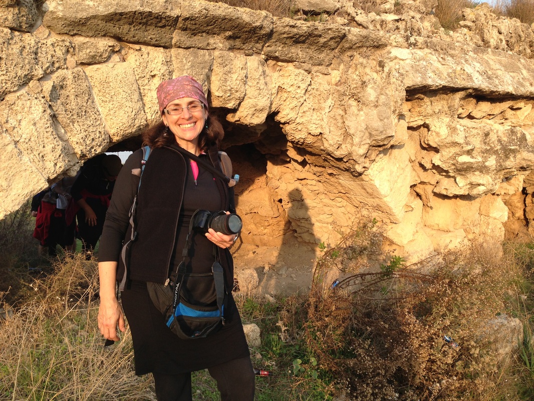
This hike was long - 28 km, and took us through all different kinds of terrain. On a beautiful, cool, sunny day our group of 14 started off from the southern edge of the Hadera forest with a bit of a challenge: we had to get across the railroad tracks. The trail marker told us to go under the tracks by crawling/crouching through a short tunnel. For those of us less expert in the duck walk or a bit claustrophobic, we trekked across. We continued into the green shady forest, past a camp grounds and the Hadera train station. As we made our way towards Caesarea, we learned from Jeff, (our resident tour guide) about the Mediterranean coastal plain of Israel. Windblown quartz sand is carried into the Mediterranean Sea by the Nile River and transported eastward along the coast of Sinai, Egypt, and then northward along the Israeli shelf by the Mediterranean waves and currents. Subsequently the sand is wind-blown inland.
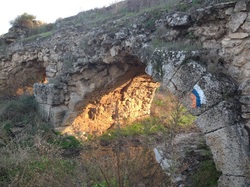
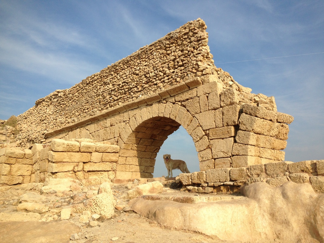
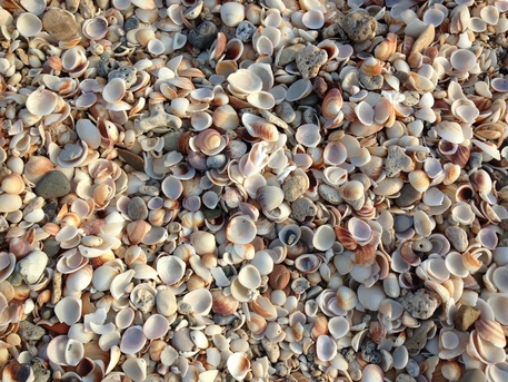
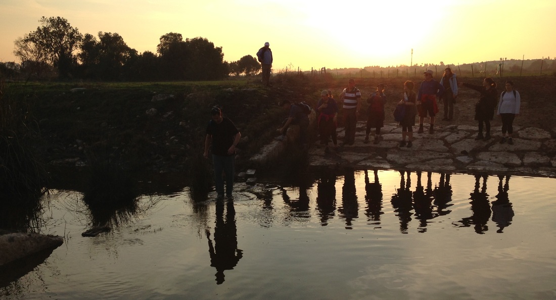
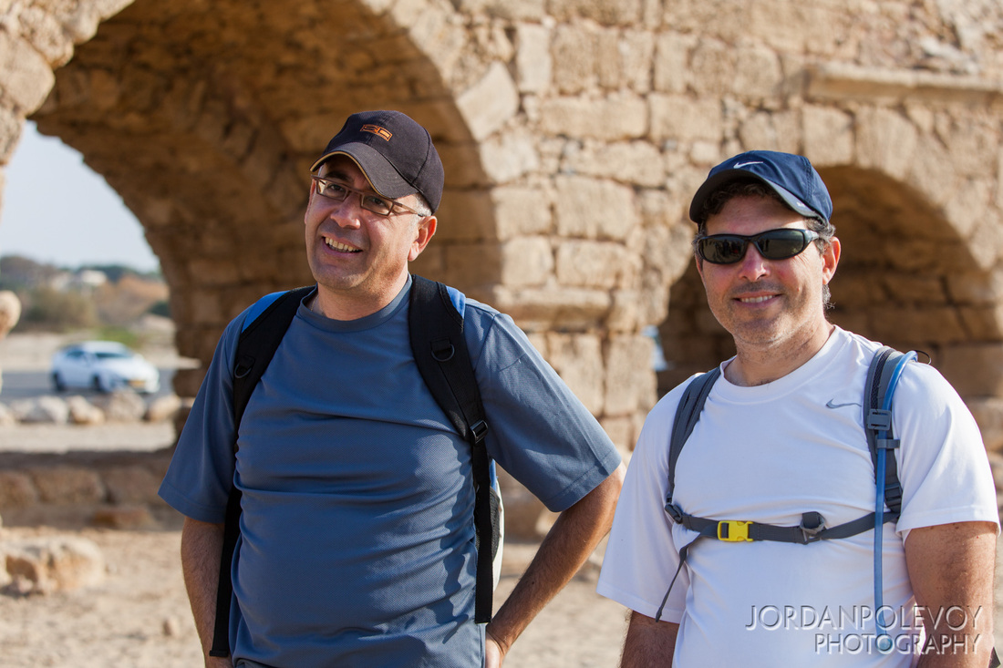
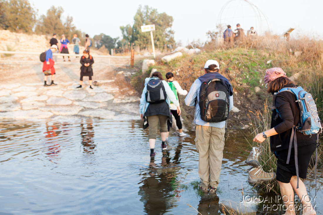
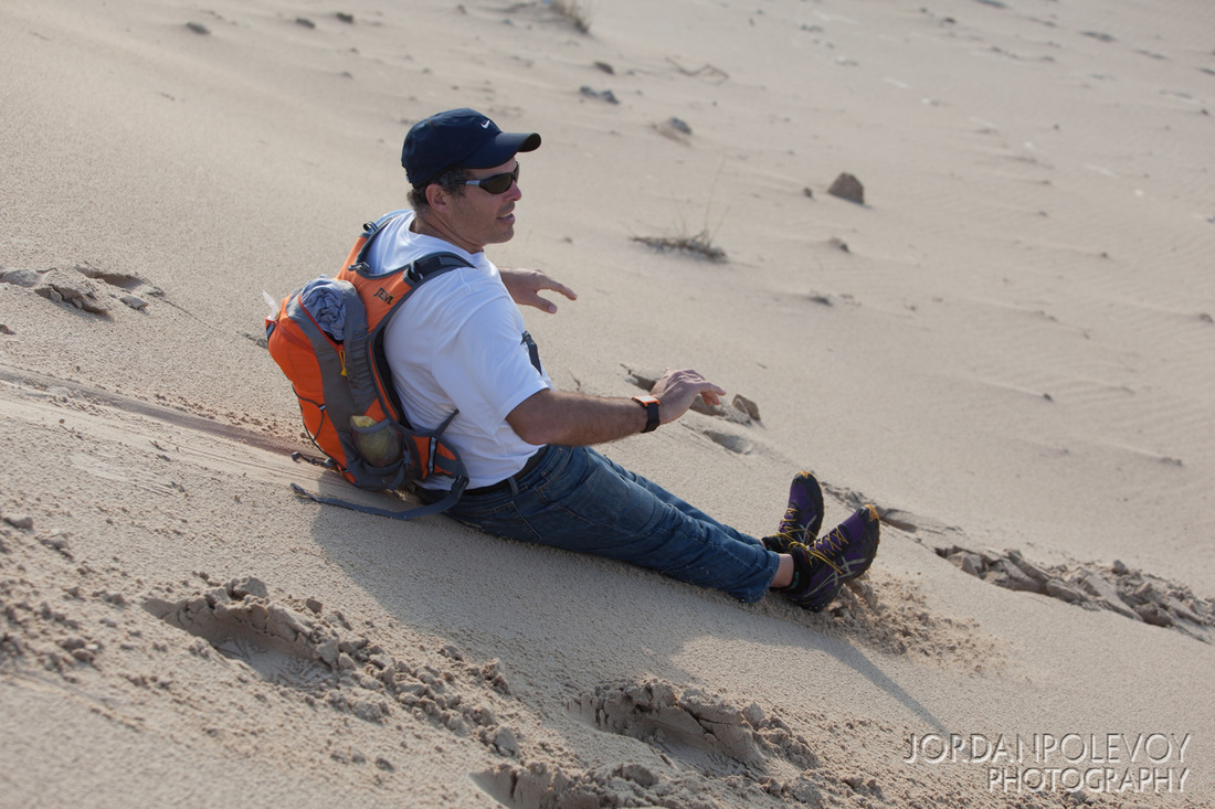
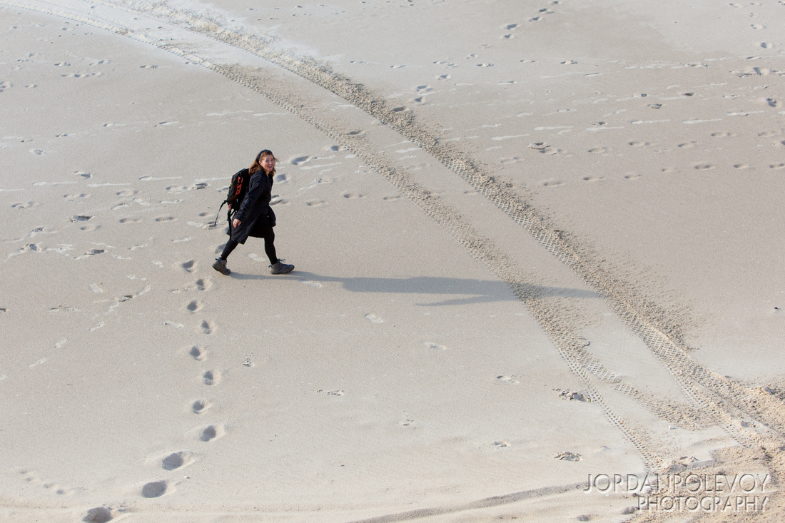
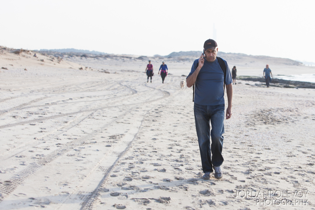
Turning inland, we walked along the Hadera River. In 1982, after the power station was built, a decision was taken to rehabilitate the western section of Nahal Hadera that lies between the Coastal Highway and the point where the river water spills into the sea. We saw what will soon be the completed Hadera River Park, blending aesthetics with environmental concerns. Coal ash that had become a mounting ecological nuisance is being covered with soil. It is now being landscaped with shrubbery and a paved promenade, accented by a series of four decorative waterfalls which will tumble from the embankment into the river. After winding our way around the town of Caesarea we took a much needed lunch break overlooking the ruins of the seaside city built by Herod the great over 2,000 years ago. As the afternoon was warm and sunny, it was a pleasure to spend some time walking along the beautiful beach. We followed the miles-long aqueduct and the trail even took us up to walk along the top of it. As we came to the end of the beach segment of the trail we reached the seaside village of Jisr as Zarqa, the only Arab village on the Mediterranean coast. It is the poorest village in Israel and the Israel Trail winds through the whole of it. As a result of a partnership between a resident of the village and a Jewish woman from a neighboring town recently, the town’s first hostel opened, with the aim of attracting tourists from Israel and beyond. Outside of the town the landscape turned into green fields and we made our way to moshav Beit Hanania at the edge of Mount Carmel. It was a long day and as the sun was setting, we got to the cars, literally, as the cows were coming home. So where does the infamous ‘three more kilometers’ fit into the day? After asking Amir how much farther, he always responded with incredible assurance that it would be just “three more kilometers.” Our red faces would perk up, our achy feet would feel spritely and we would march on until another hiker would ask, “Come on, Amir, how much longer?” And the answer was always ‘three more kilometers.’ We felt like little kids on a road trip who repeatedly ask ‘are we there yet?’ And the answer was always ‘three more kilometers,’ the words becoming a sort of mantra. As the sun was setting, casting long shadows across our dusty bent frames, we actually made it to the finish line. “Didn’t Amir say we were supposed to finish by three o’clock?” one of us asked during the car ride home. “Right!” Debbie laughed. “Is three Amir’s favorite number?” We all groaned, rubbing our aching feet. Guess it is! |
|
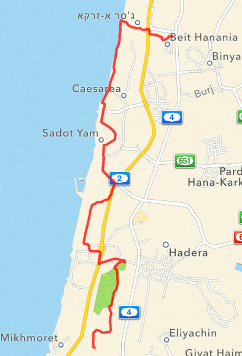
And here is the map....