Canyon Shachoret to Be'er Ora
Day #42 Israel National Trail
|
|
Trail Notes - Date walked: February 25th, 2015
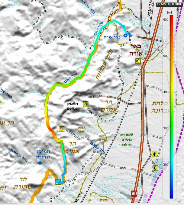
Start - Camp site location is accessible with a regular car but go easy on this rough road. The Waze location is http://waze.to/li/hsv2be07vn Finish - The settlement of Be'er Ora. Easy to find with Waze Water There is none Map Number 20 Distance 21 km 672m cumulative ascent, 694m cumulative descent Link to view the trail on - WikiLoc Moed Bet Eilat to Timna
|
|
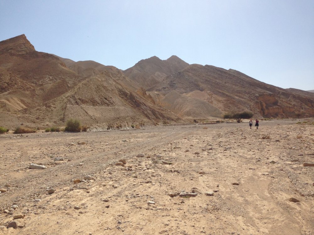
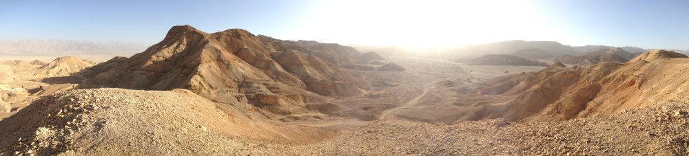
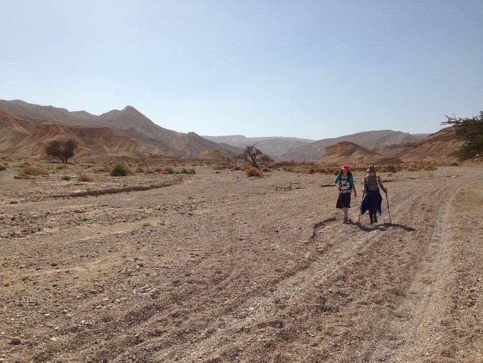
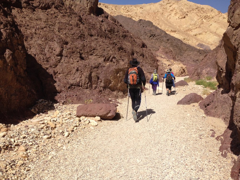
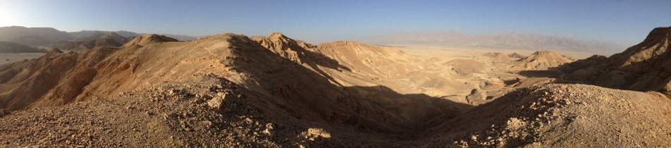
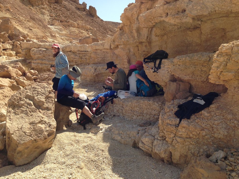
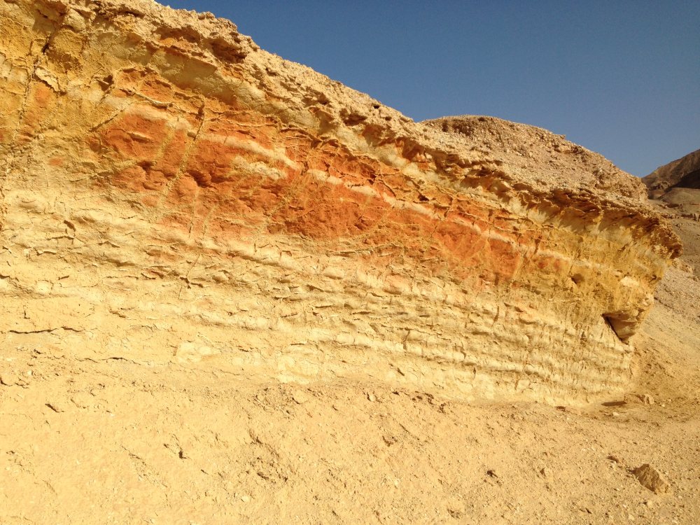
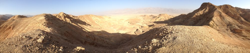
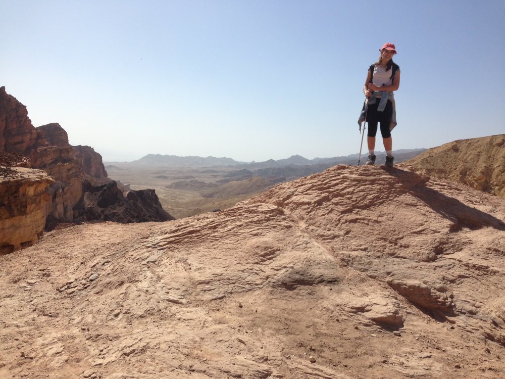
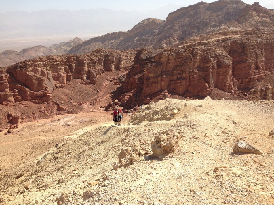
We got off to a great start as I directed our happy group in the wrong direction - heading back west on the trail covering the ground that we had come from the day before! Fortunately Debbie caught this mistake early on. The track goes north from the western edge of the parking lot with a gentle climb for the first 4 km. It then ascends abut 250m over 2km to a peak of 590m just west of the Pillars of Amram. We would have liked to make that a side trip but it would have added a couple hours to our day. The rest of the day was a gentle decline apart from a short climb before heading to the valley where Be'er Ora sits. It was a beautiful day with big open skies and incredible views from the high point of the day. There is a camping spot by a 4x4 track for those who want to continue westward instead of going to Be'er Ora.
|
|
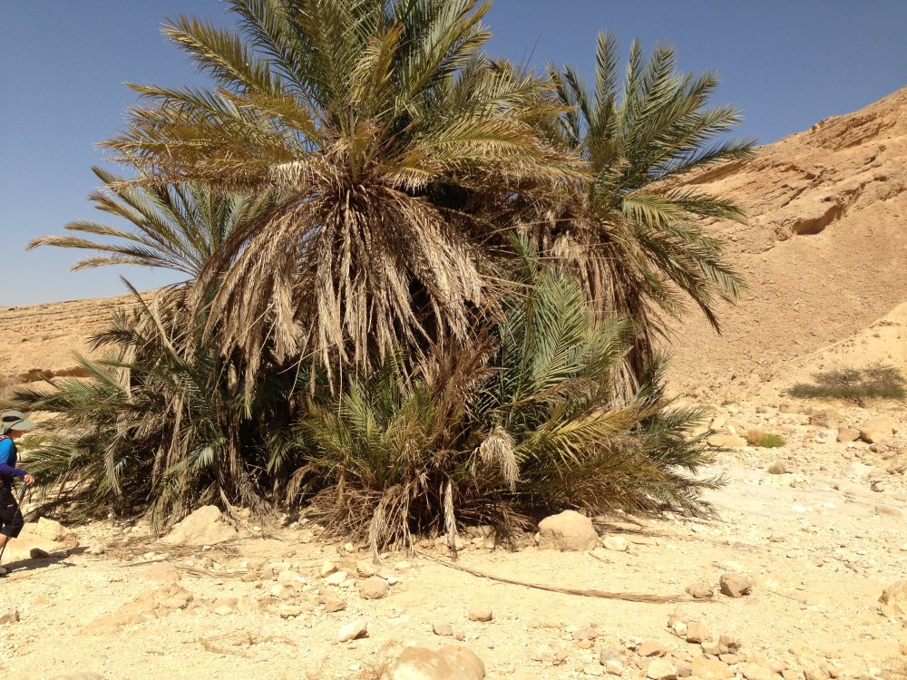
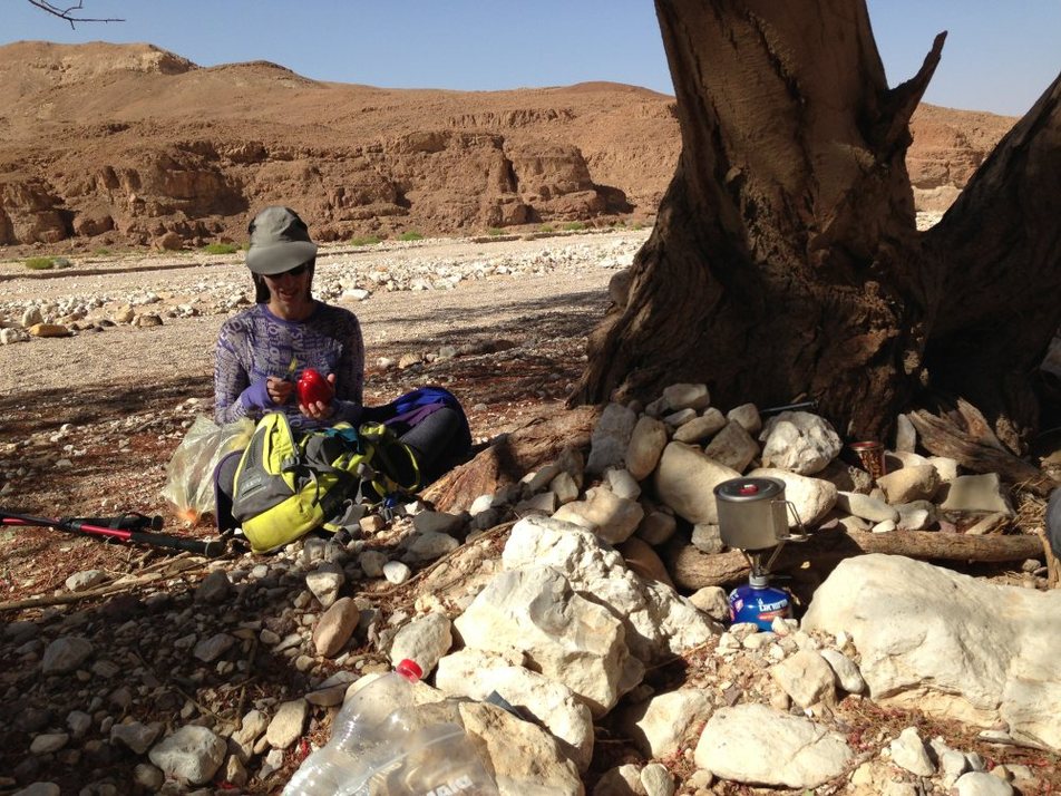
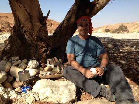
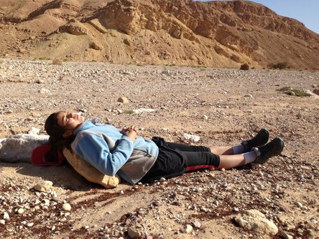
An oasis in the desert.....
|
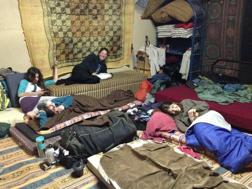
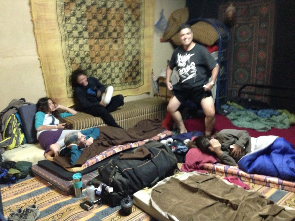
Be'er Ora This is a lovely small community founded in 2001. Prior to Eilat being connected to the National Water Network it in this vicinity that a well (Be'er) served the water needs of Israel's southern most city. We were fortunate to learn about a place for hikers to stay for called Tamar B'Midbar. The place is run by Zohar and Norit Tamari. They can be reached at +972525664107. There are three areas to sleep in - a garden area that will fit a tent, an open roofed garage converted into a Bedouin tent and a rooftop Sukkah. They can accommodate up to 15 people and the price is very reasonable. When we were there four hikers showed up who had not pre-booked and the owners were nice enough to let them sleep in their living room and use the family bathroom. There is a shower, bathroom, kitchenette and plenty of mattresses. Zohar can also be contacted to arrange for logistic support to transport water, tents, backpacks and firewood to campsites only accessible by 4x4 vehicles |
|
|
|
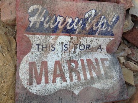
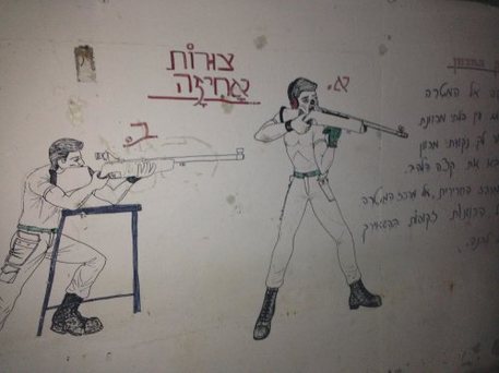
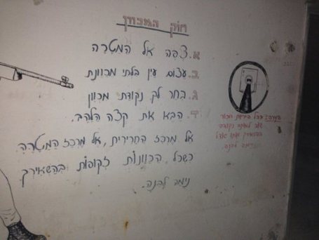
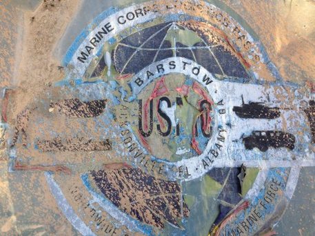
Just before getting to town we walked through an old abandoned Gadna Army Base. It was a little bit spooky going underground through the darkened bomb shelter. There were a couple signs strewn about that indicated this place had been at the very least assisted by the U.S. Marine Corp
|
|
|
|
|
|