Merhav Am Loop Trail
Negev - Near Sde Boker, March 15th 2015
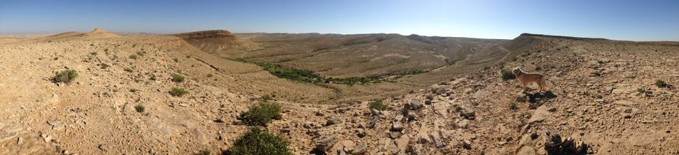

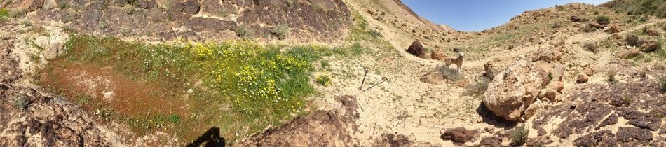
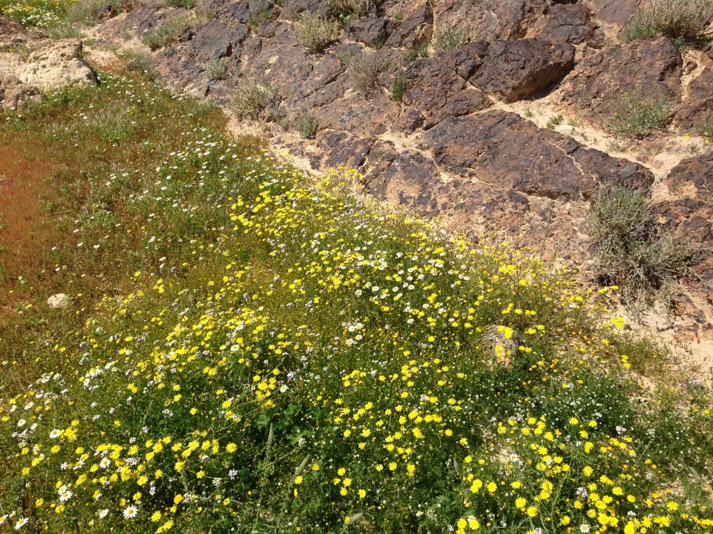
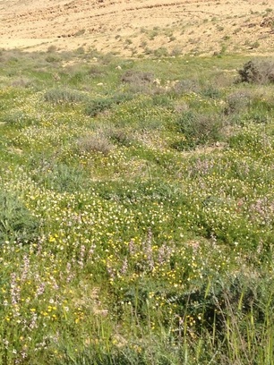
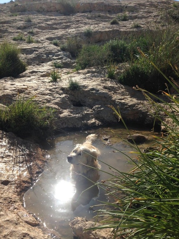
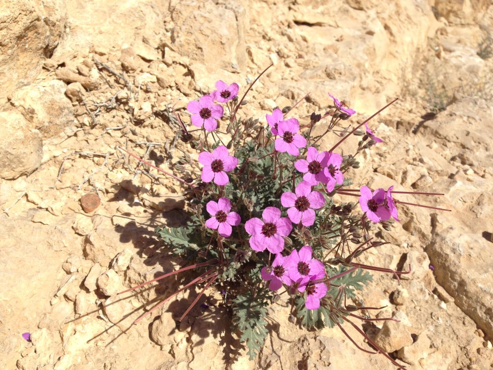
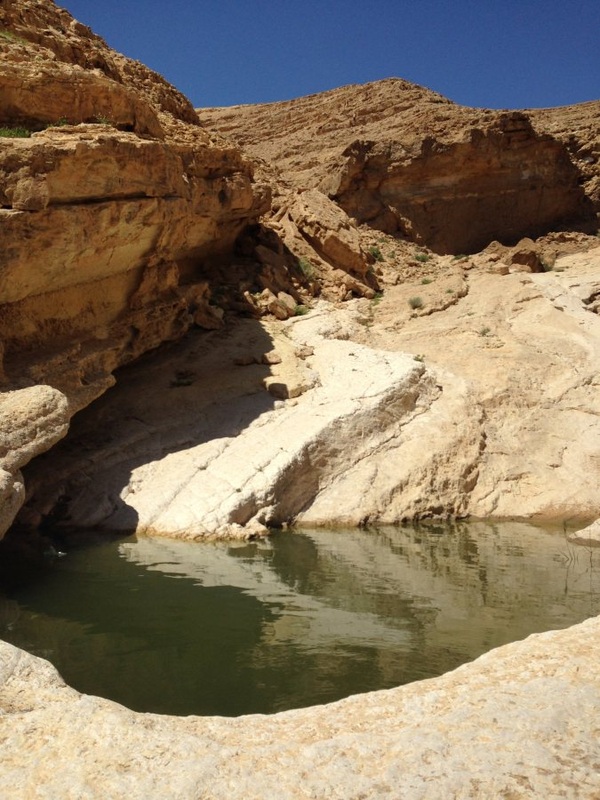
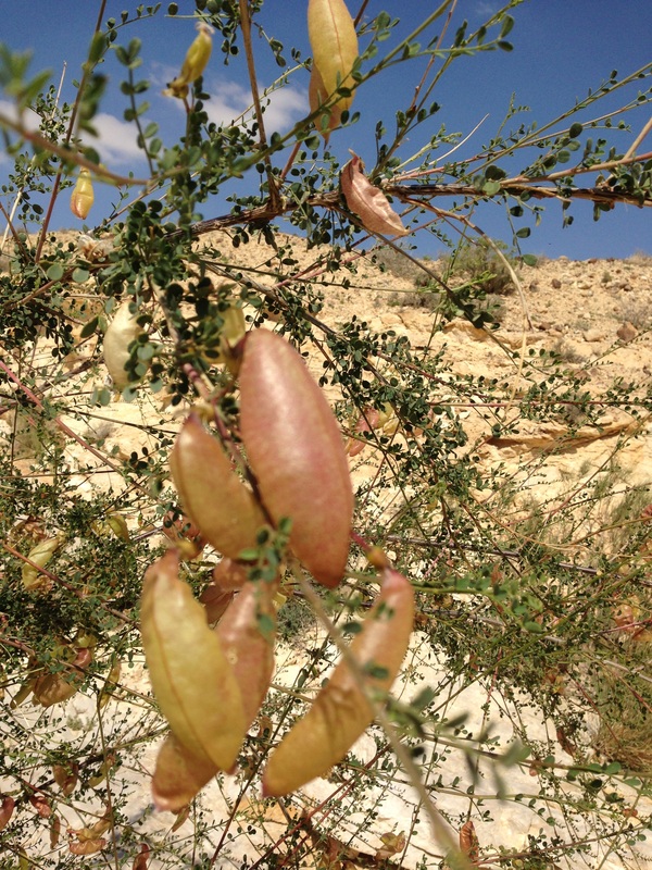
The hike was perfect for this time of year. The desert was in bloom, the sky was blue and the rains had filled water holes that will be bone dry a few months from now. The hike is 27 km long, has a big descent and ascent and in parts requires scrambling boulders in a dry river bed. It's perfect if you only have one car and are looking for a challenging day trip. With two 4x4 vehicles you can cut it down to a 15-20 km hike by leaving one car at the bottom of Sde Boker in Nahal Tsin but then you'd be deprived of a 300 m climb out of the wadi.
Getting there - The hike starts from a dirt road half a km east of the yeshuv of Merhav Am on road 204. This is about 5 or 6 km east of Sde Boker. Merhav Am is a very sweet religious Zionist yeshuv. If you are making this a day hike and want to start your day at a Beit Knesset you should give them a call the day before to get the details. They have put an eruv up over a huge area surrounding the yeshuv. It would probably be a great place to spend Shabbat in the desert. |
|
If you are loking for a place to stay in Midreshet ben Gurion, I recommend that you stay at the Krivine Guest House. It is really wonderful there.
|
|
Hike Details
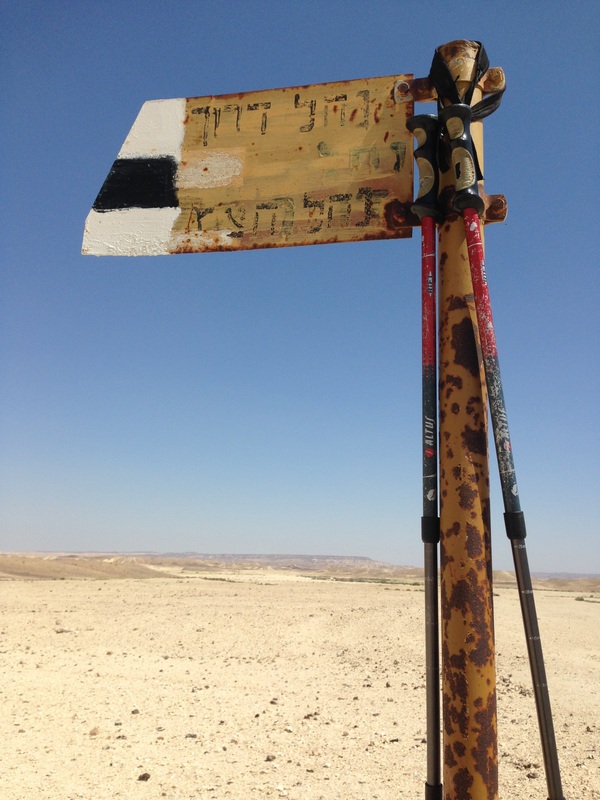
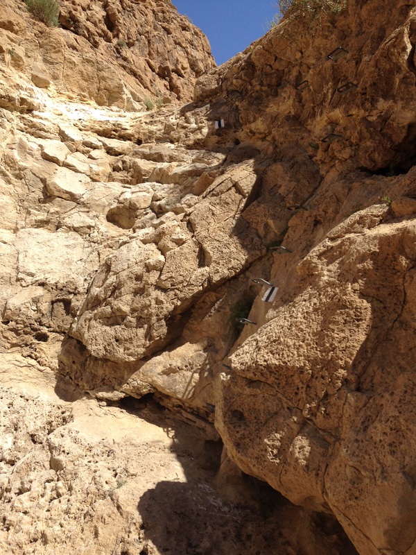
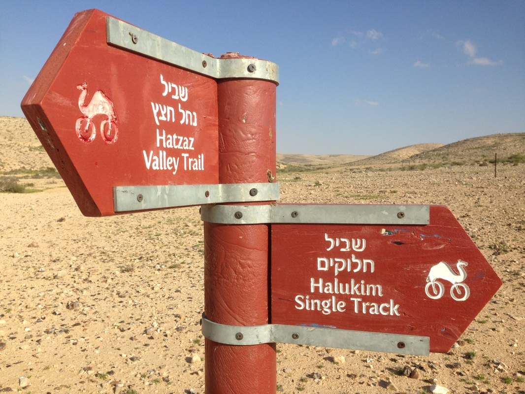
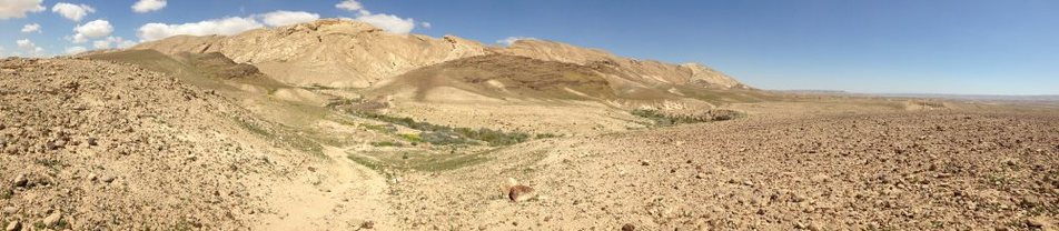
The first 3 km follows a black trail along a 4x4 track. Continue on the black tail beyond the point that you cross a red trail bike route that cuts to the right. At this point the trail is for hikers only and begins to climb by about 100m over a 1 km stretch. When you get to the top you are at the high point for the day and begin your descent into Nahal Darokh. The next 4 km are spent moving downhill winding through the river bed at a gentle pace. You then take a more dramatic descent using iron handles embedded into the wall to cover the steep part of the descent. |
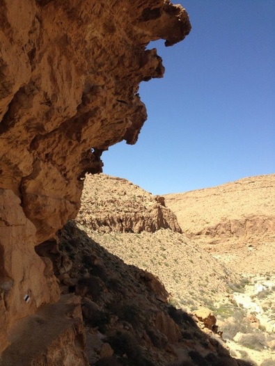
Once you reach the top you can see the fields of Sde Boker. It seems as is your day is done and that the car should be just around the corner but that just isn't the case. There's still another 5 to 6 km to go but there is a short cut available if you choose to ditch the trail and overland it a bit. After having coming up to the top of the blue trail you will see a red 4x4 trail cutting to the right. You can continue along that red trail until it meets up with the black trail that you started on but that may add another 2 km to what I did. I took the red trail for about 1 km before going off trail and cutting north east in a more direct line toward the car. You can't get very lost doing this but if you don't have decent orienteering skills you may not save much. Assuming that you do go off trail, the key is to find the eruv surrounding Merhav Am. Follow that eruv and it will take you to where you started. Tired but very happy!
|
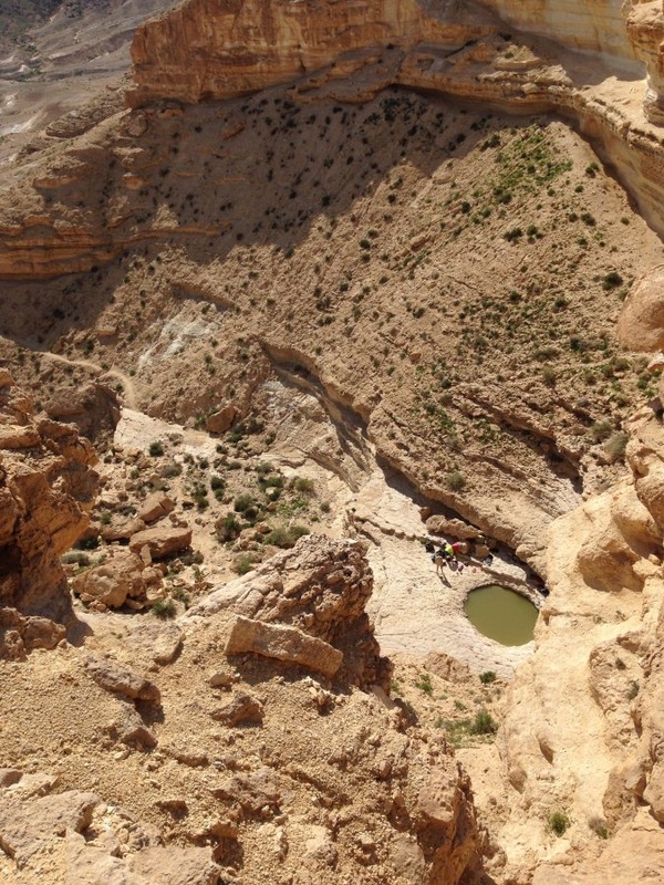
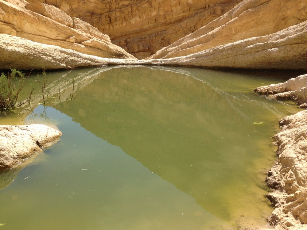
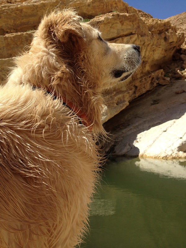
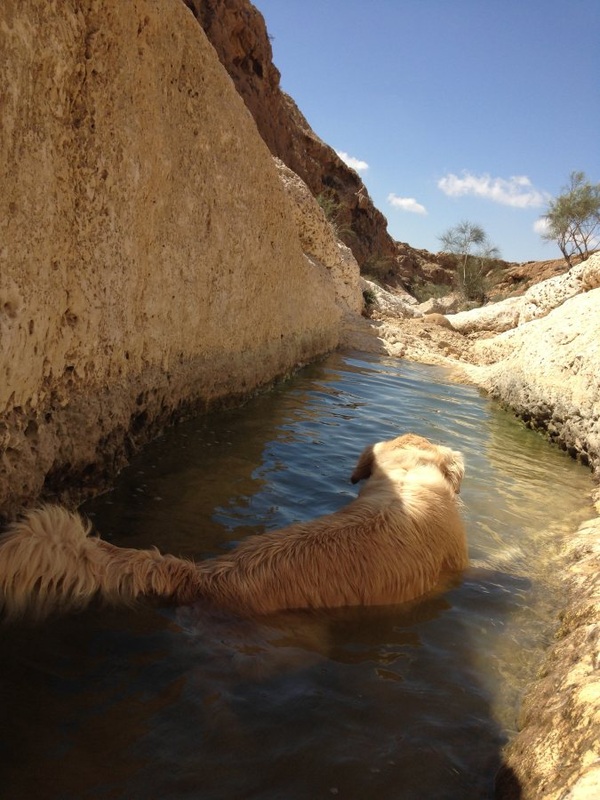
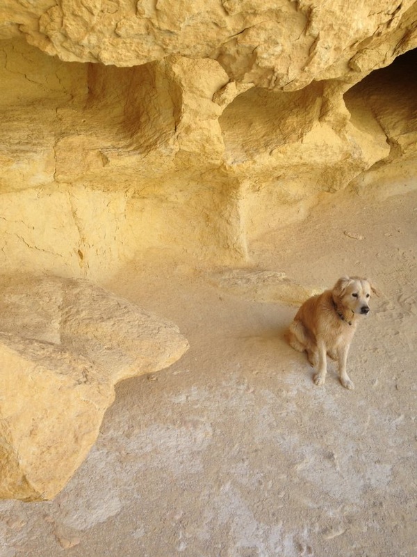
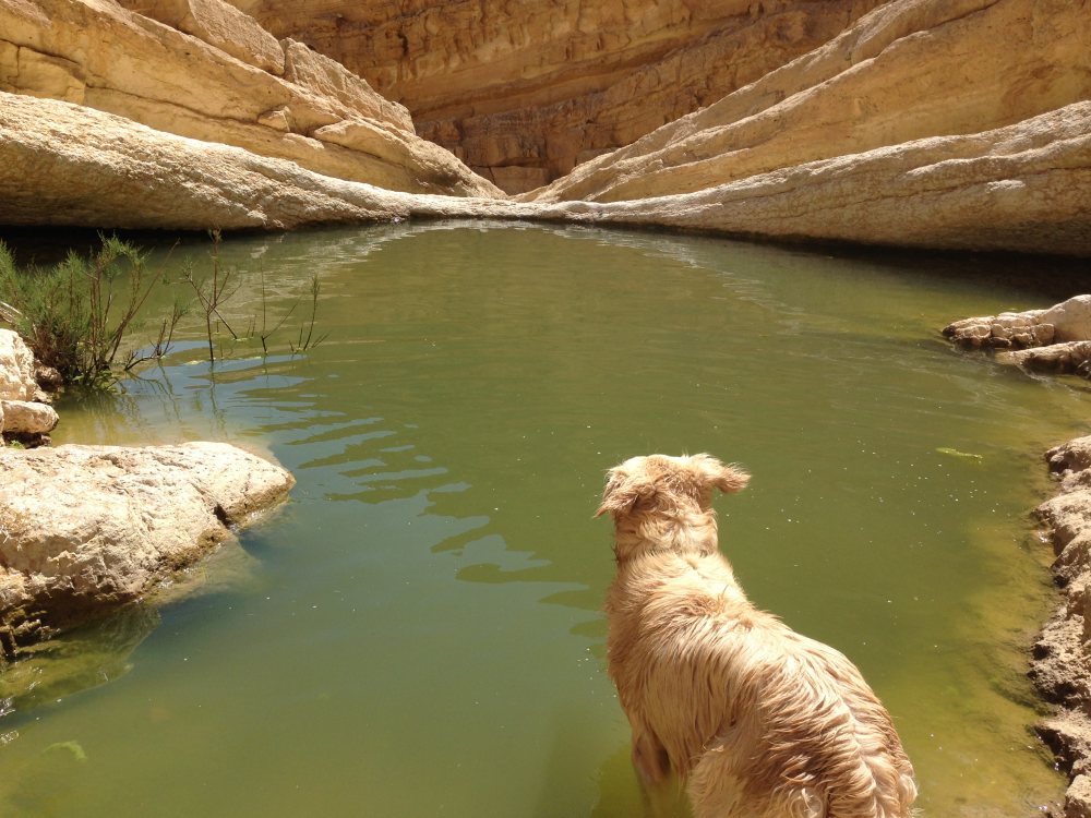
This came as a complete surprise to me and probably even more to my dog. As I was holding onto the wall with one hand and gripping this 60 pound beast with the other it crossed my mind that it may not have been a good idea to do this hike alone. I also hadn't told anyone my route. As I looked down to the hard rock below, I was estimating how long it would take the authorities to find my body. After the ladders there's another 2 km of fun scrambling over boulders to get to the bottom. The black trail continues for two more km along the desert floor until it meets up meet up with the red-marked Israel Trail on the flats of the desert floor in Nahal Tsin. By this point you will have covered 14 km. Here you continue west along the black trail for about 1.5 km and then take the blue trail to the left. It meets up with the green 4x4 track that comes from Sde Boker. Look for the electrical lines that run along the valley floor from Sde Boker as another confirmation that you're in the right place. At this point in the hike you may be wishing that you had a spare 4x4 vehicle to hop into and drive up to Sde Boker with. This was not my reality. Instead, my tired dog and I continued north-west along the green 4x4 track until cutting to the right on the blue walking trail that is at the base of the road that comes from Sde Boker. The blue trail takes you on a 250 m ascent over 3 km. There are spectacular views along the way. When we got to the top we could see some hikers relaxing in a water hole at the bottom of the cliffs below us.
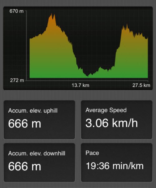
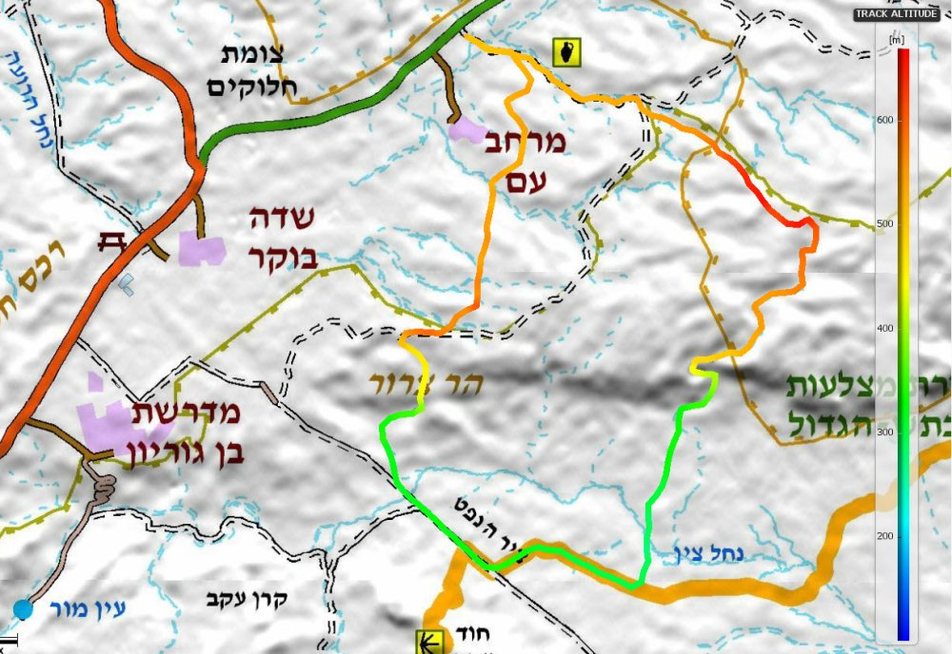
The map below shows the loop with color coding by elevation.
|
|
Here is a picture of the ladders that I had to carry my dog along
|
|
|
|
|
|
|
|
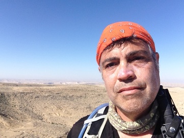
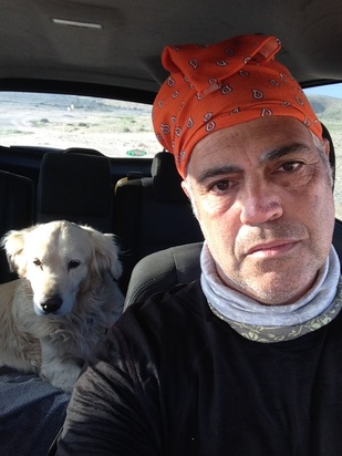
Back in the car, exhausted and wondering about how I'm going to be able to drive back to Ra'anana for two hours
|
|