Merhav Am to Avdat
Negev near Sde Boker, December 6-7, 2015
|
|
Ideal two-day winter hike
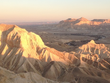
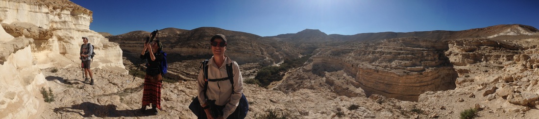
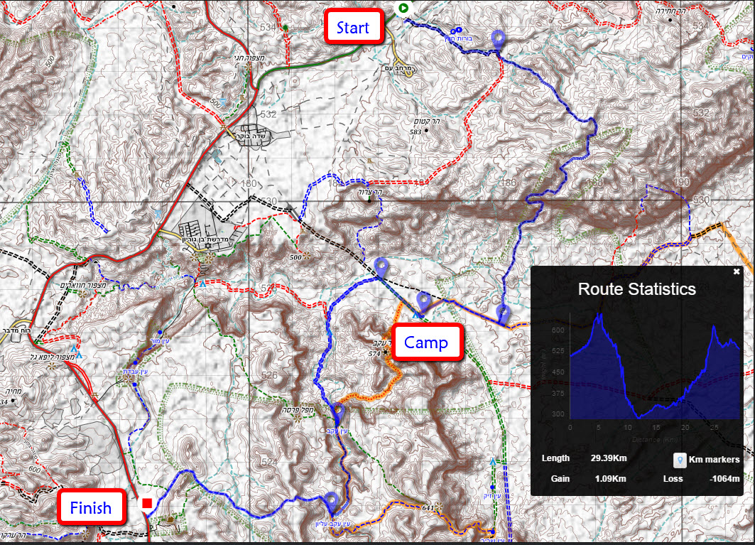
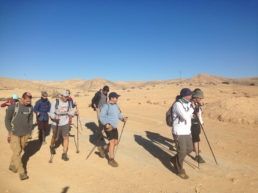
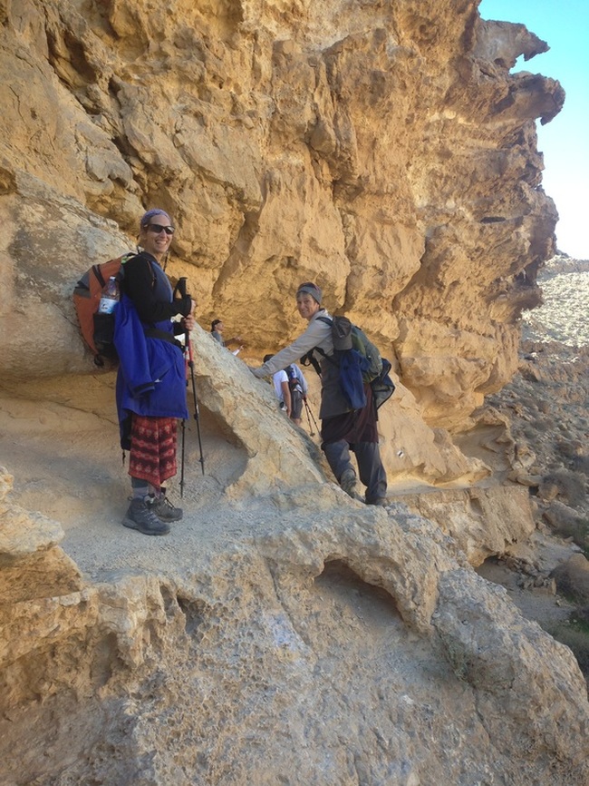
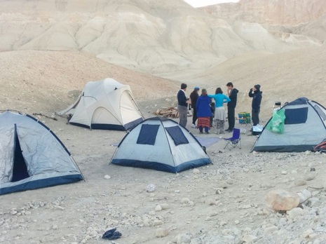
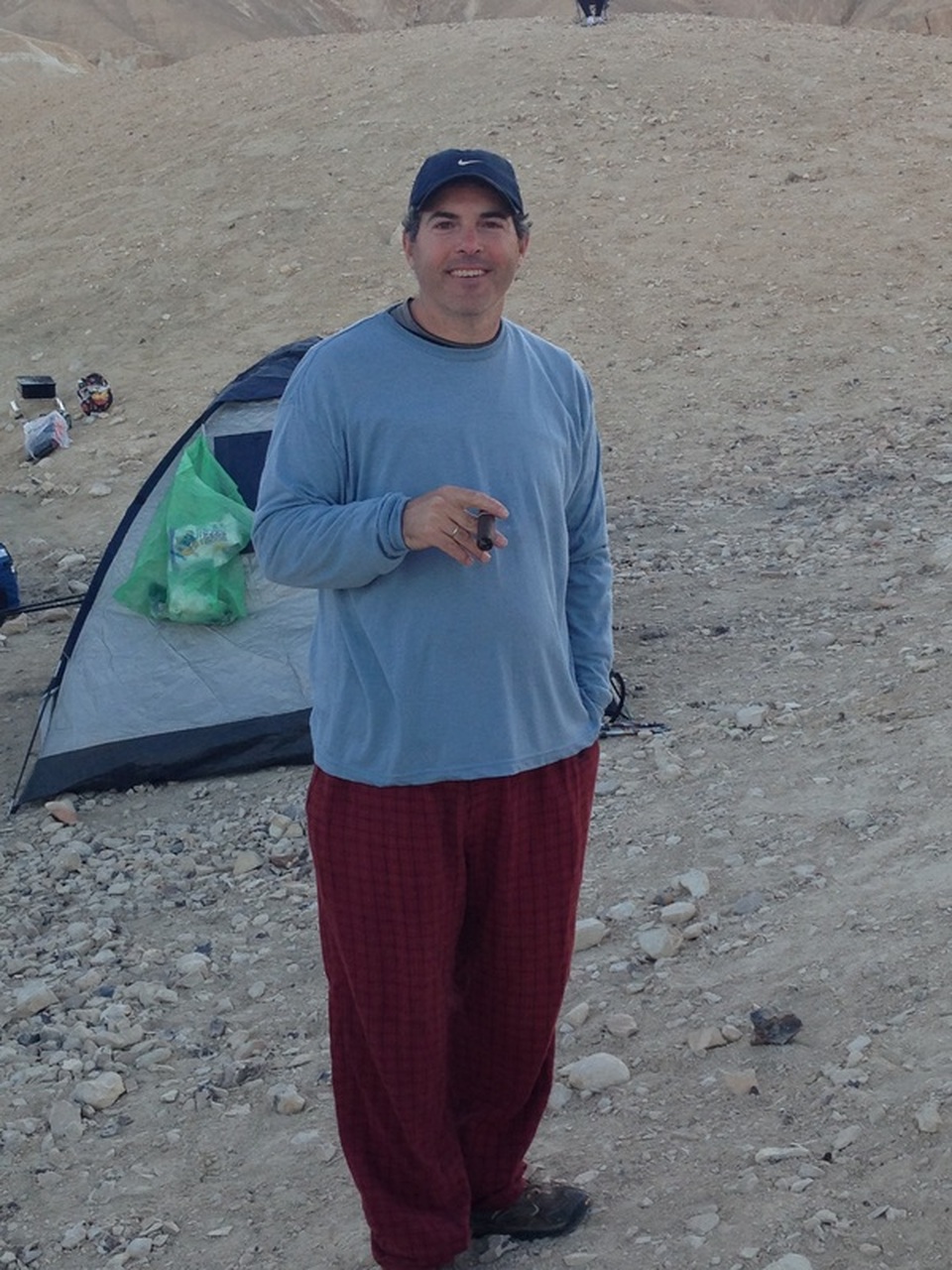
This hike is 29 km long with most of the first day spent descending into the Zin valley and the second day climbing out to Avdat. There is a designated camp site midway which breaks up the distance perfectly.
If you only want to have to carry day bags and not worry about the rest of your equipment then do this hike with two 4x4 vehicles. That way, at the beginning of the hike you can leave one of the cars at the camping spot and drive the second car to the trailhead.
After the first night of camping you can then juggle the cars so that the car that was at the trailhead is now at the parking lot in Avdat. Our situation was a bit more complex in that we only had the one 4x4 vehicle. In our case we left that car with all the equipment at the bottom of the paved serpentine road beneath Midreshet Ben Gurion and at the end of the first day our hiking companion Ari jogged the 6.5 km from the campsite to the car in order to drive it over to us.
|
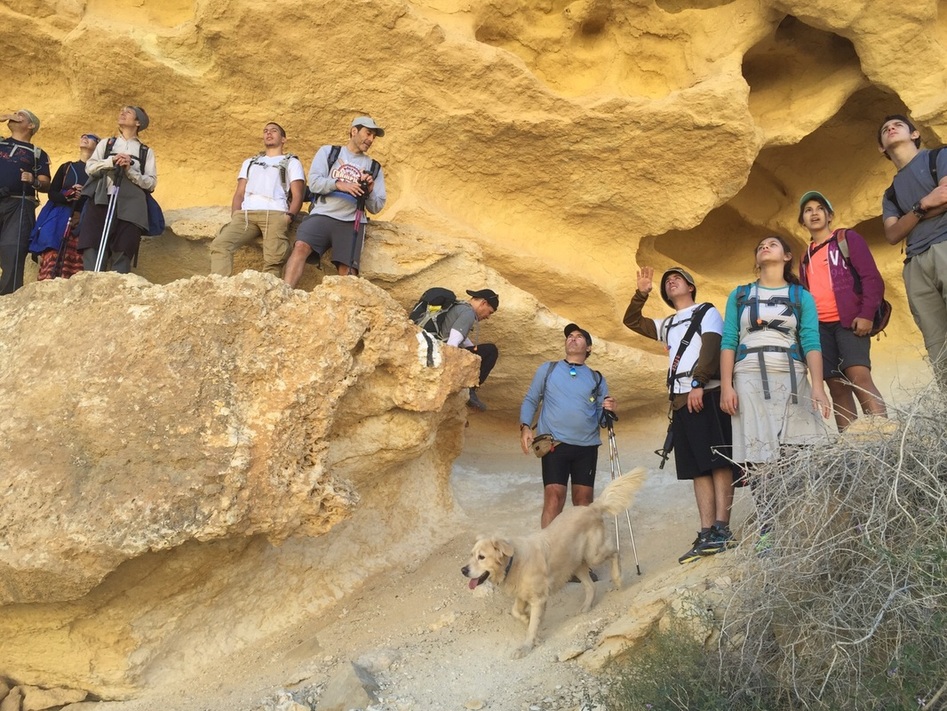
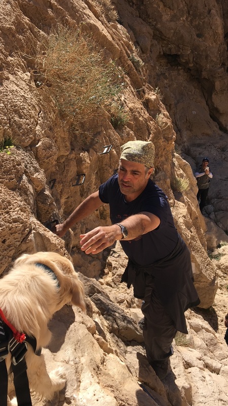
,Having learned my lesson from the first time I did the section with iron rungs in the rock face, this time I put my dog in a rapelling harness. With 8m of rope and with some help from my friends we got TJ down safely and easily.
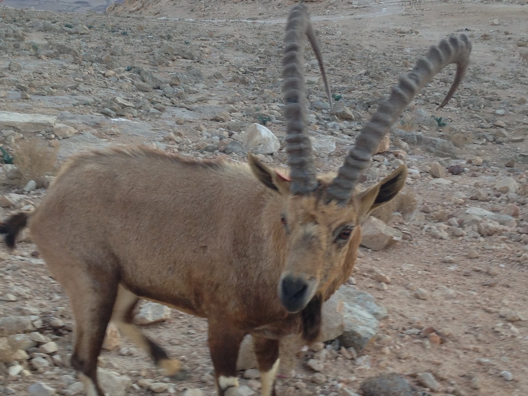
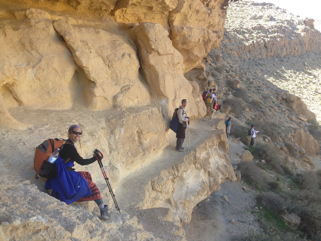
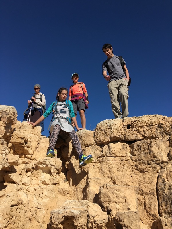
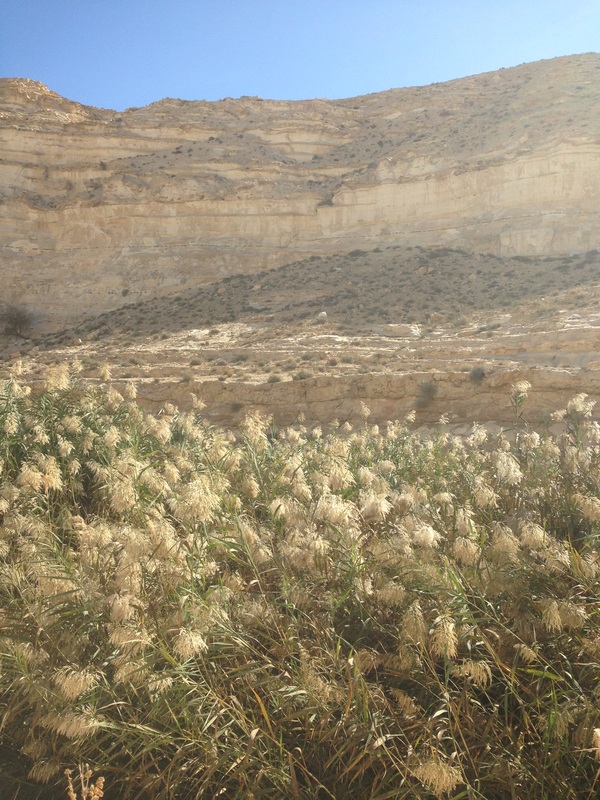
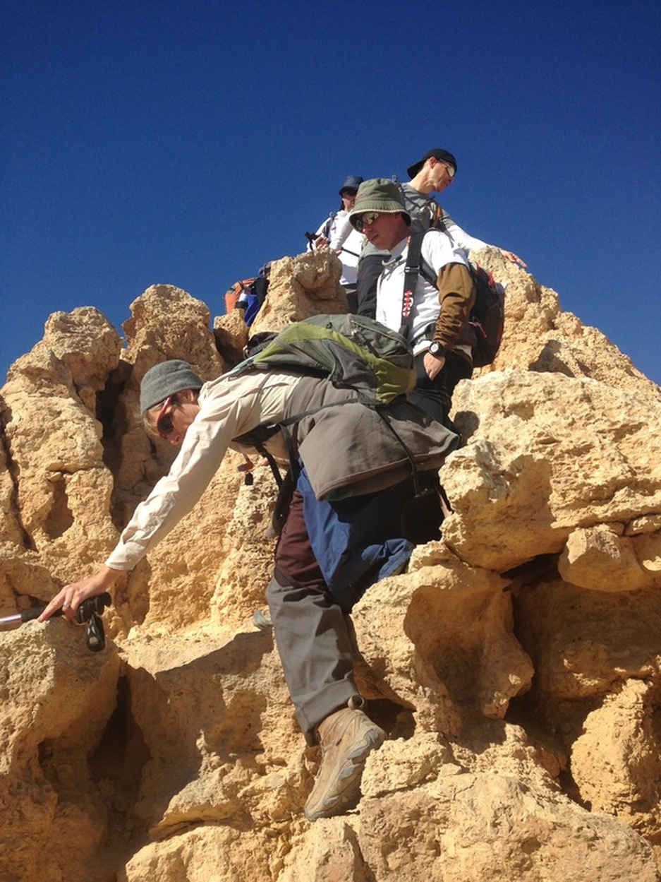
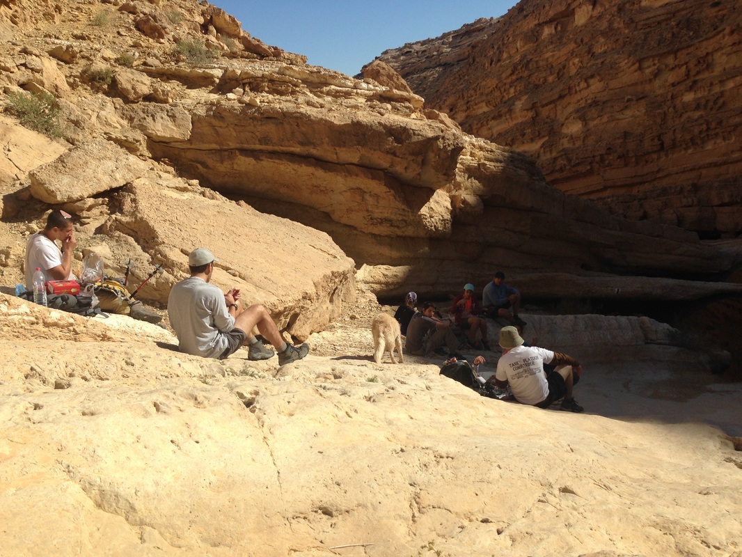
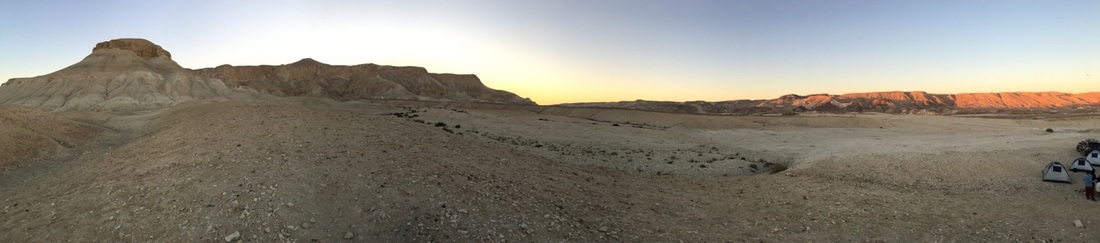
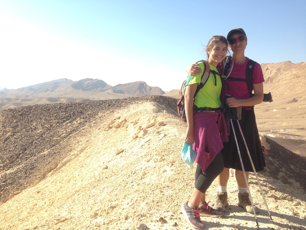
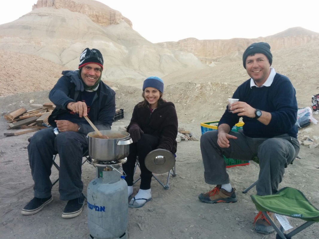
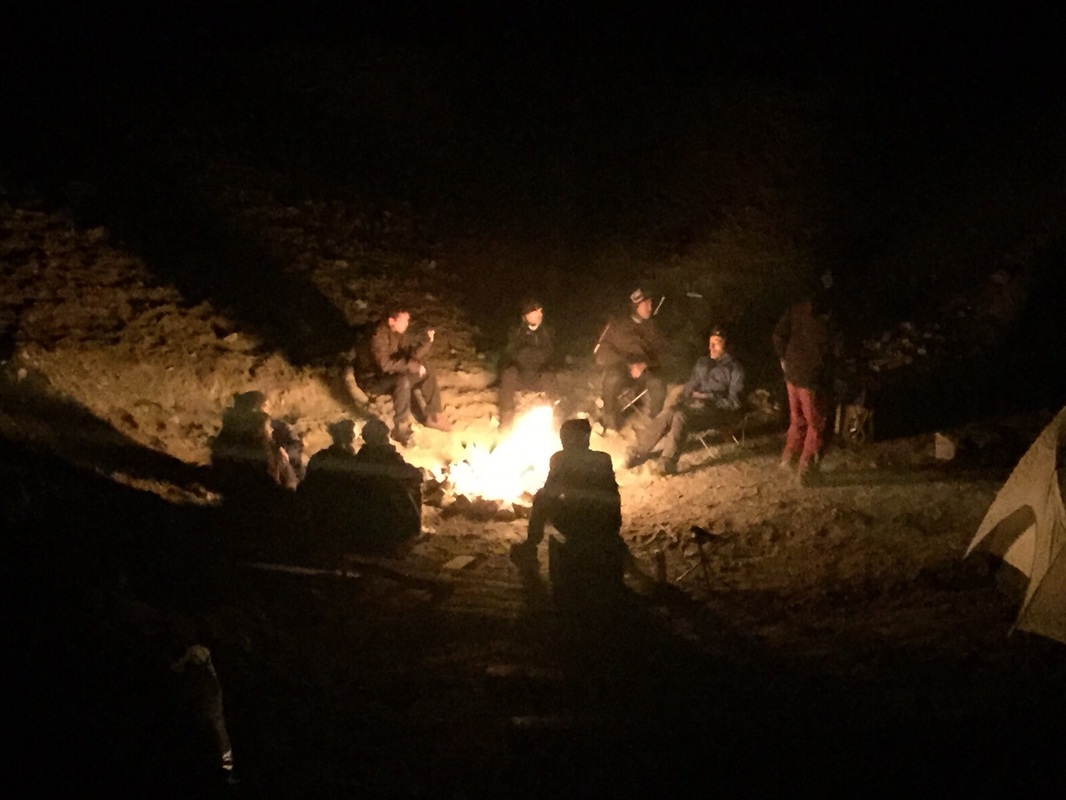
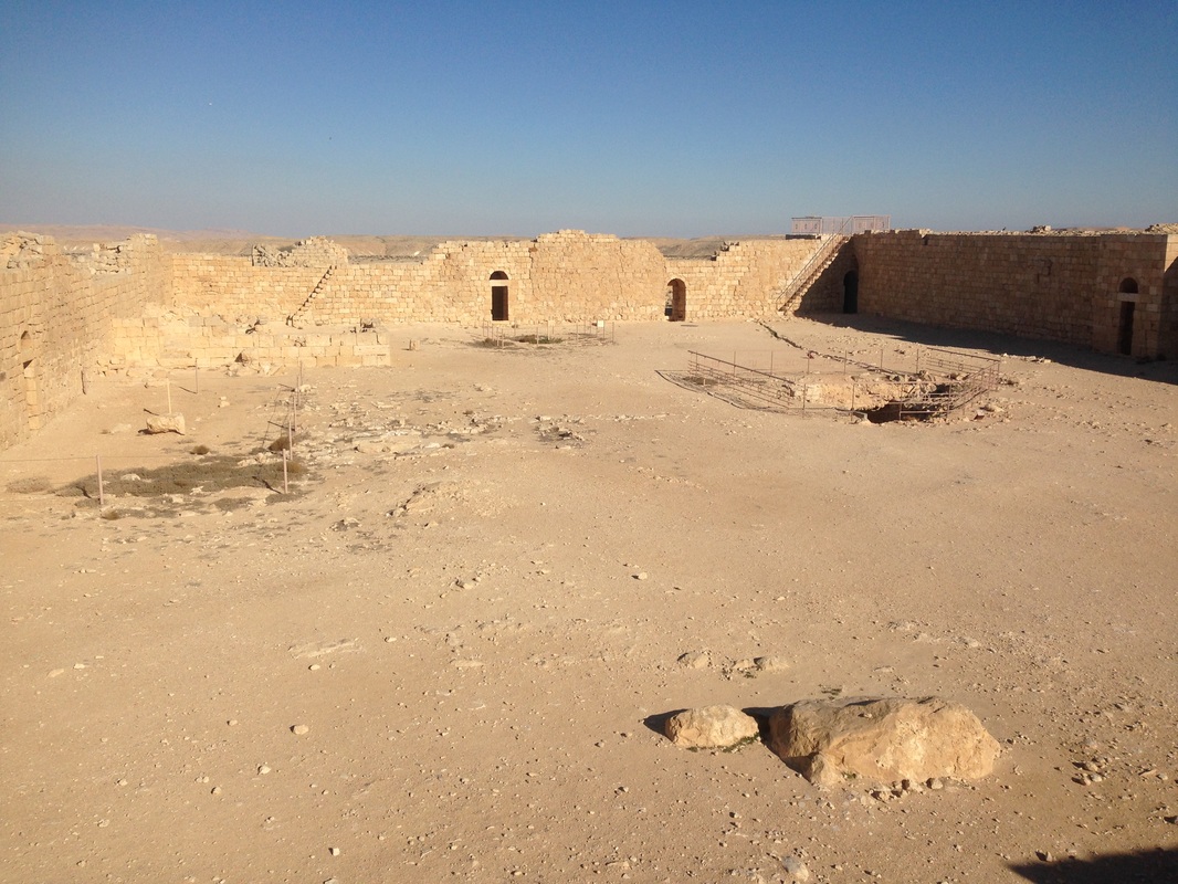
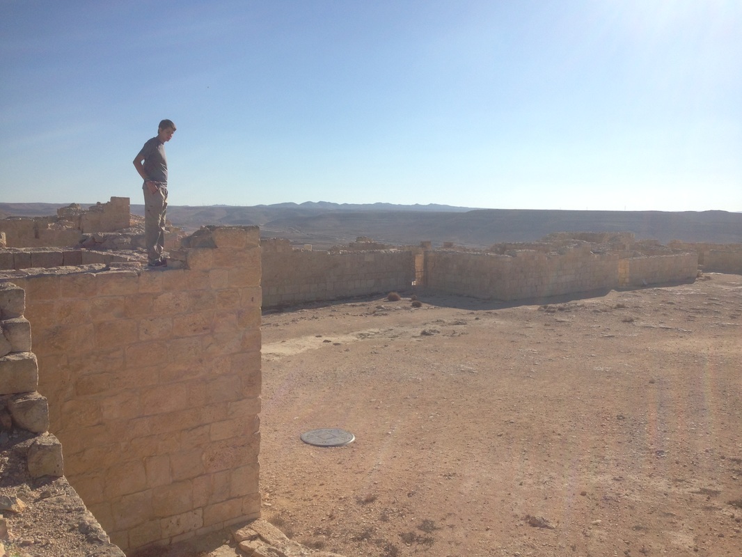
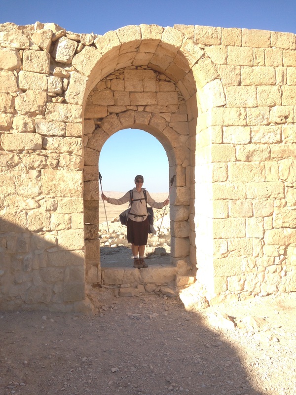
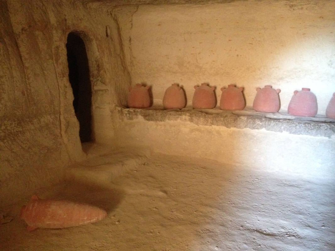
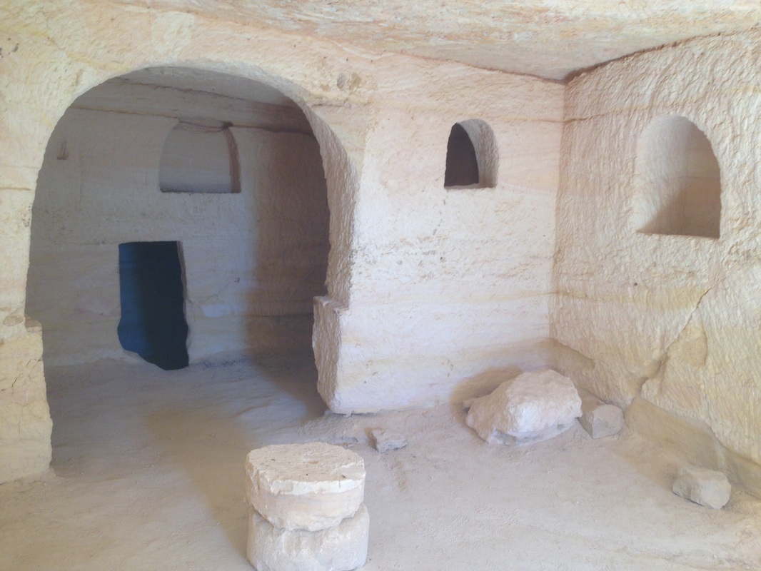
The hike passes along desert water holes, dramatic views and grazing Ibex. Both days are great but if you can only do one, I would suggest you take the first day. When finishing in Avdat, give yourself at least an hour to explore this impressive UNESCO World Heritage Site. It was a key city in the Nabatean spice trade route. A word of caution - it can get really cold in the desert at night. Although it was very warm during the day, as soon as the sun set, the temperature fell |
|
to about 5 degrees celcius. In fact, it's a good idea to hike with layers and a headlamp in the desert during the winter months in case you get caught out there after the sun goes down.
Hike details
Use shvil map 15. The hike starts from a dirt road half a km east of the yeshuv of Merhav Am on Road 204. This is about 5 or 6 km east of Sde Boker. The first 3 km follows a black trail along a 4x4 track. The black trail 152770 continues as a foot path only. This trail goes down to the desert floor where you turn right on trail 15370 which is marked in black and as part of the Israel Trail.
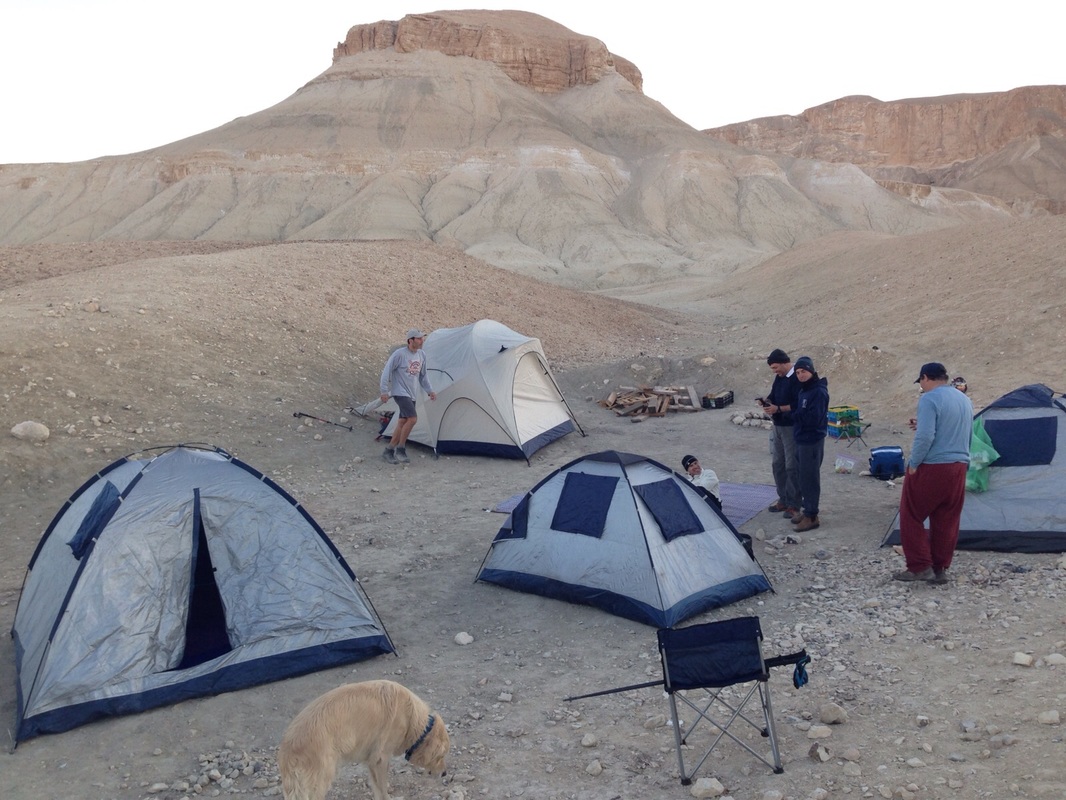
Ater about 2 km you turn right on the blue trail. That trail ends after about 1 km at the green trail. That junction is the camping site.
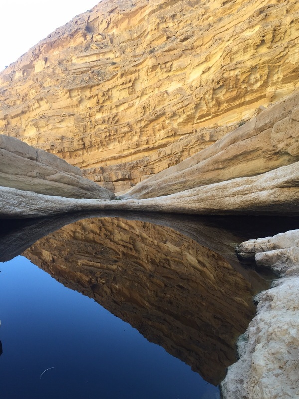
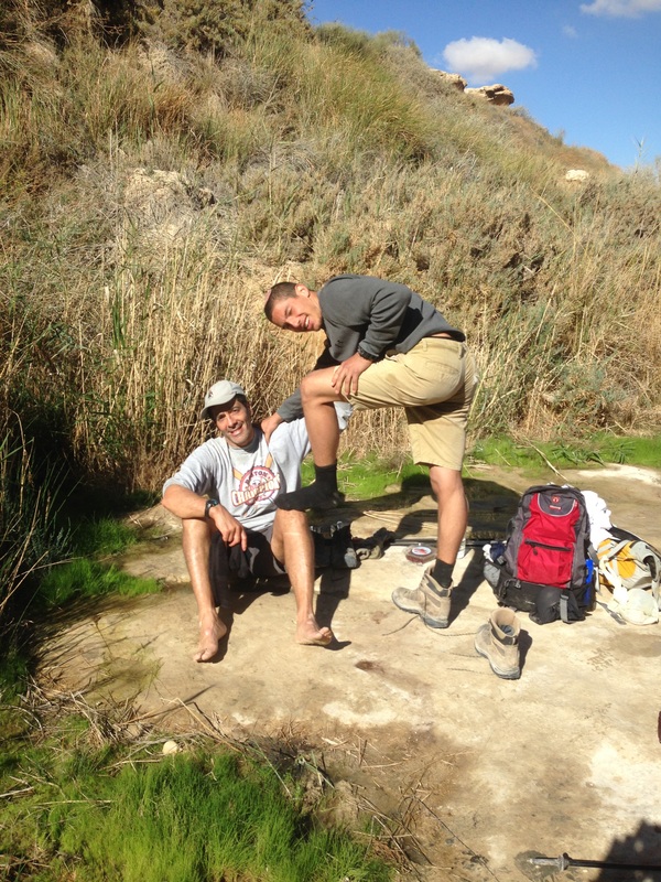
The next morning, continue on the green trail in the direction of Sde Boker and turn left at the first trail that you hit. It should be marked in red and is trail 15367 on the map. That takes you to a beautiful waterfall with a swimming hole at Ein Ekev, a great place to stop for a snack and a cold water dip.
You climb out of Ein Ekev picking up the black trail 15362 south of the waterfall. The black trail follows the wadi south until a T junction with the blue trail. This is where the Israel Trail takes two options. The one going to Avdat is clearly marked and travels to the right (west). This blue trail takes a sharp ascent climbing out of the valley. The blue trail becomes black as it moves along fairly level ground to Avdat.
If you are looking for a place to stay in Midreshet ben Gurion, I recommend that you stay at the Krivine Guest House. We really enjoyed it there.
Use shvil map 15. The hike starts from a dirt road half a km east of the yeshuv of Merhav Am on Road 204. This is about 5 or 6 km east of Sde Boker. The first 3 km follows a black trail along a 4x4 track. The black trail 152770 continues as a foot path only. This trail goes down to the desert floor where you turn right on trail 15370 which is marked in black and as part of the Israel Trail.
Ater about 2 km you turn right on the blue trail. That trail ends after about 1 km at the green trail. That junction is the camping site.
The next morning, continue on the green trail in the direction of Sde Boker and turn left at the first trail that you hit. It should be marked in red and is trail 15367 on the map. That takes you to a beautiful waterfall with a swimming hole at Ein Ekev, a great place to stop for a snack and a cold water dip.
You climb out of Ein Ekev picking up the black trail 15362 south of the waterfall. The black trail follows the wadi south until a T junction with the blue trail. This is where the Israel Trail takes two options. The one going to Avdat is clearly marked and travels to the right (west). This blue trail takes a sharp ascent climbing out of the valley. The blue trail becomes black as it moves along fairly level ground to Avdat.
If you are looking for a place to stay in Midreshet ben Gurion, I recommend that you stay at the Krivine Guest House. We really enjoyed it there.
|
|
|
|
|
|

|
|
|
|
|
|
|
|