
Mount Ido
Negev - West of Mitzpe Ramon, December 9, 2015
|
What a Lovely Day!
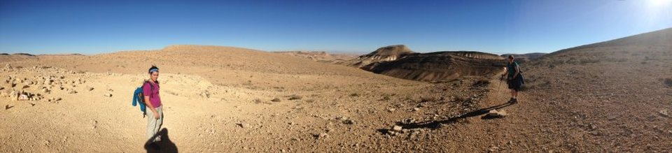
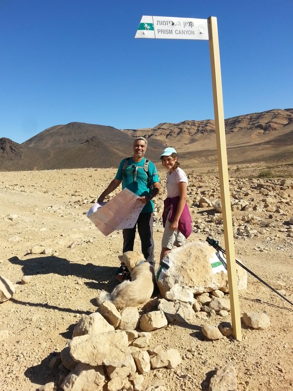
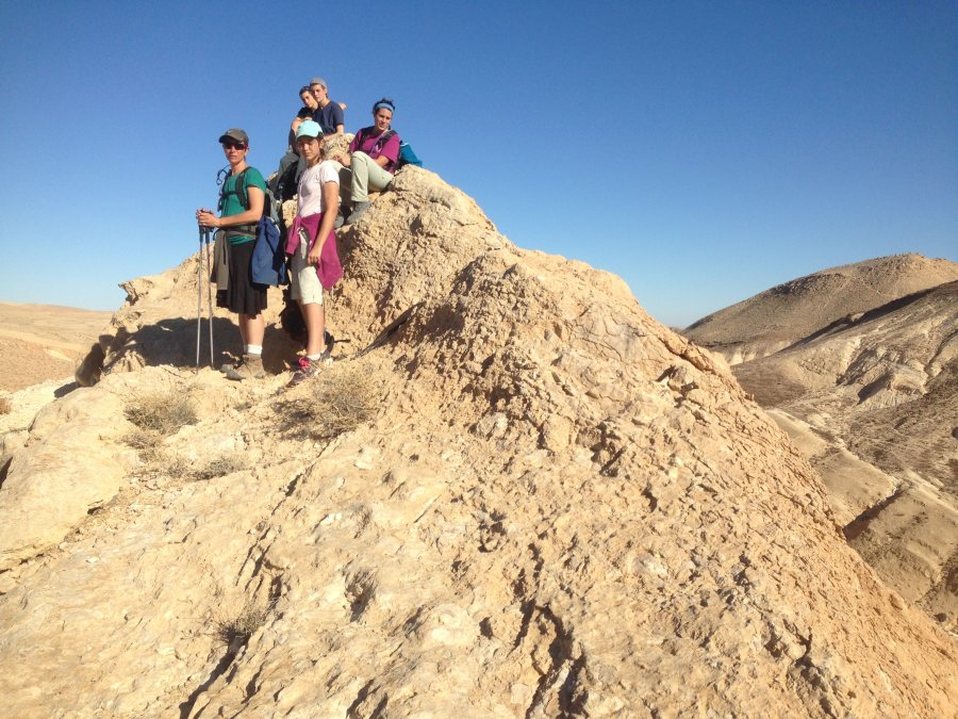
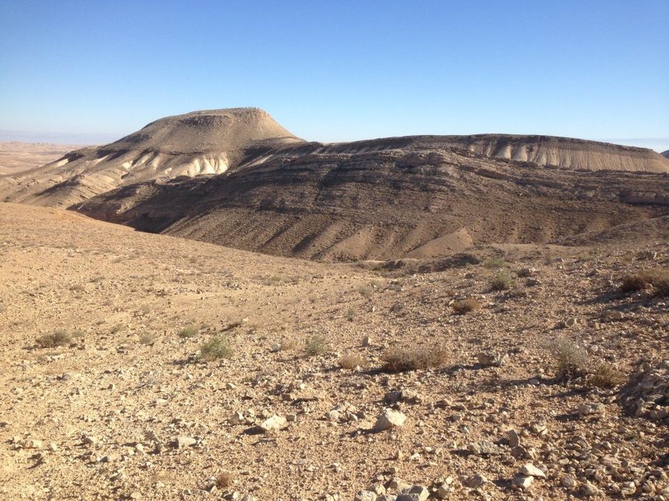
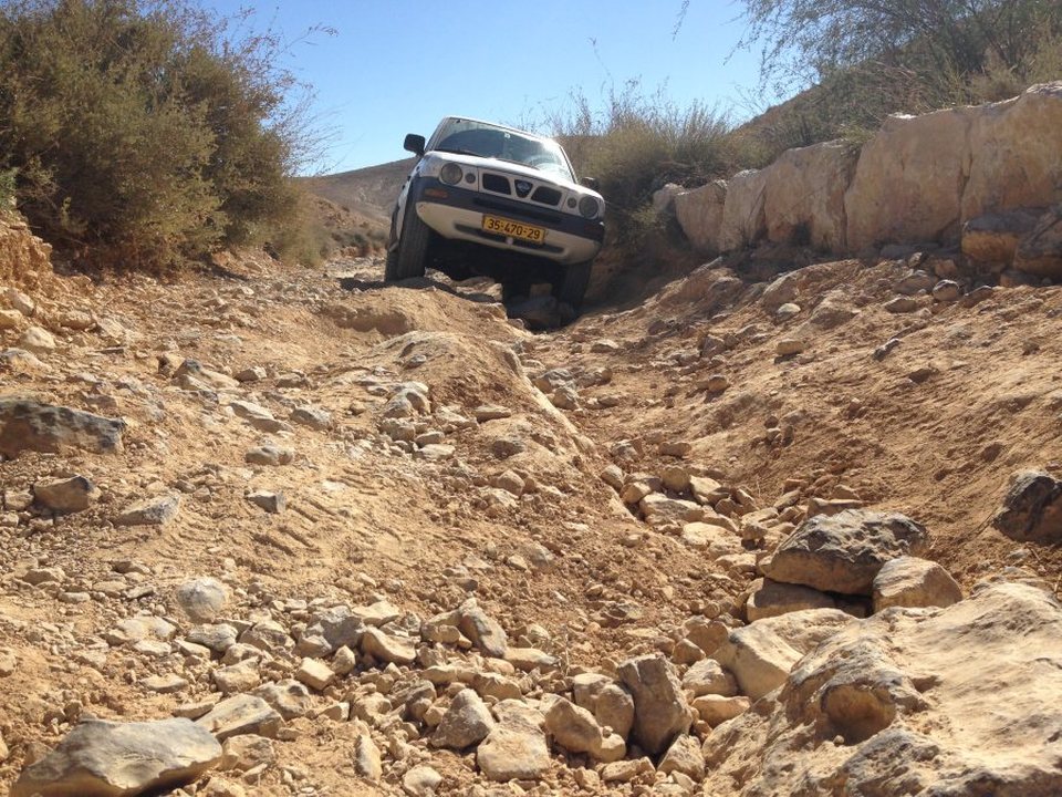
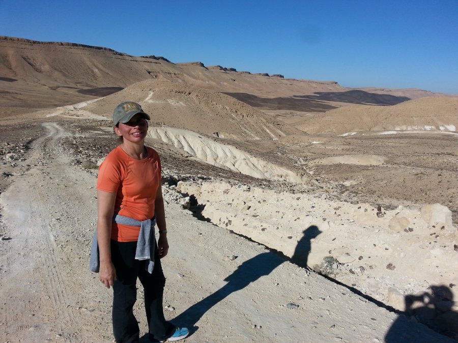
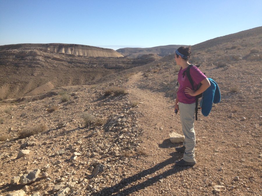
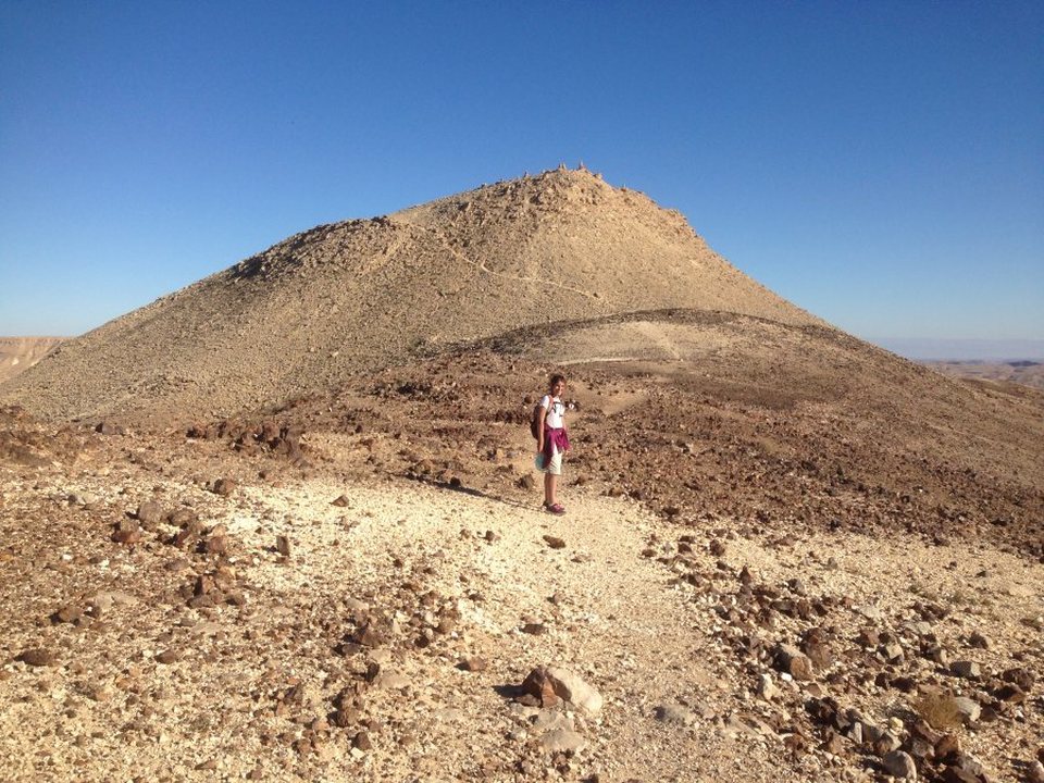
This is a beautiful hike in a remote corner of Israel. Hiking through the western Negev, you feel really far away from everything. We are used to having cell phone connection in most places but as soon as we started to descend into the crater, our phones were useless and that added to the sense of isolation. To do this hike you need to have a vehicle that can navigate through very challenging off-road conditions. It took over an hour to drop off one car at the end point and circle back with the other one. There is a side path from the main trail that takes you to the top of Mount Ido. |
|
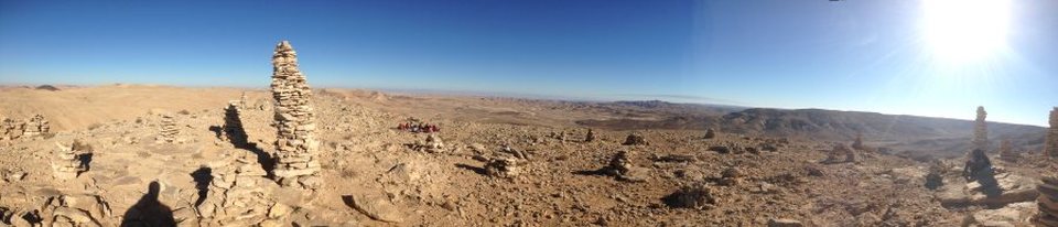
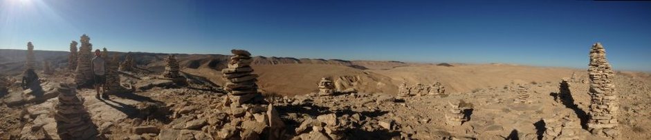
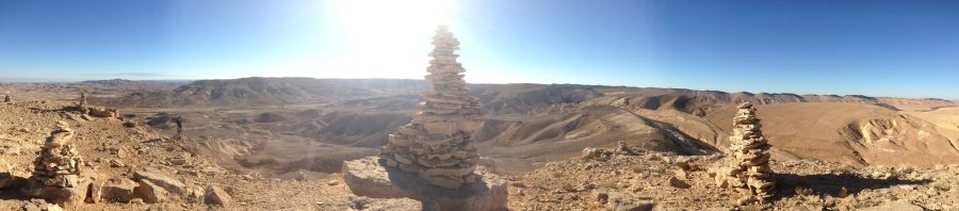
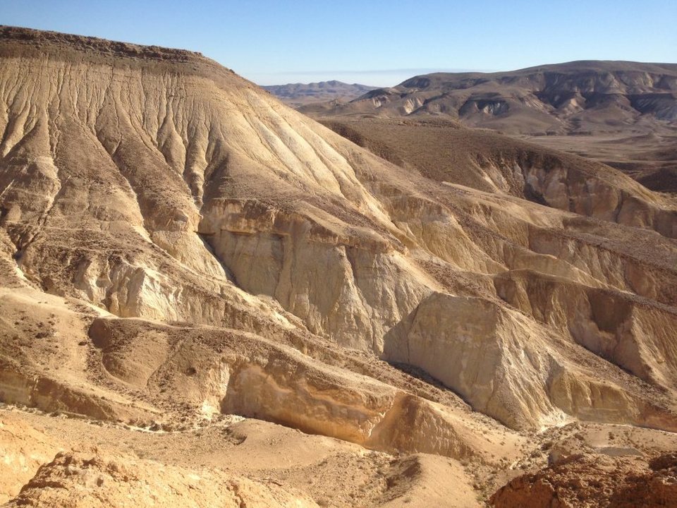
At 959 meters, you get great views of the Negev on all sides. We spent the night at a camp site nearby and then drove out the next day.
Hike Details
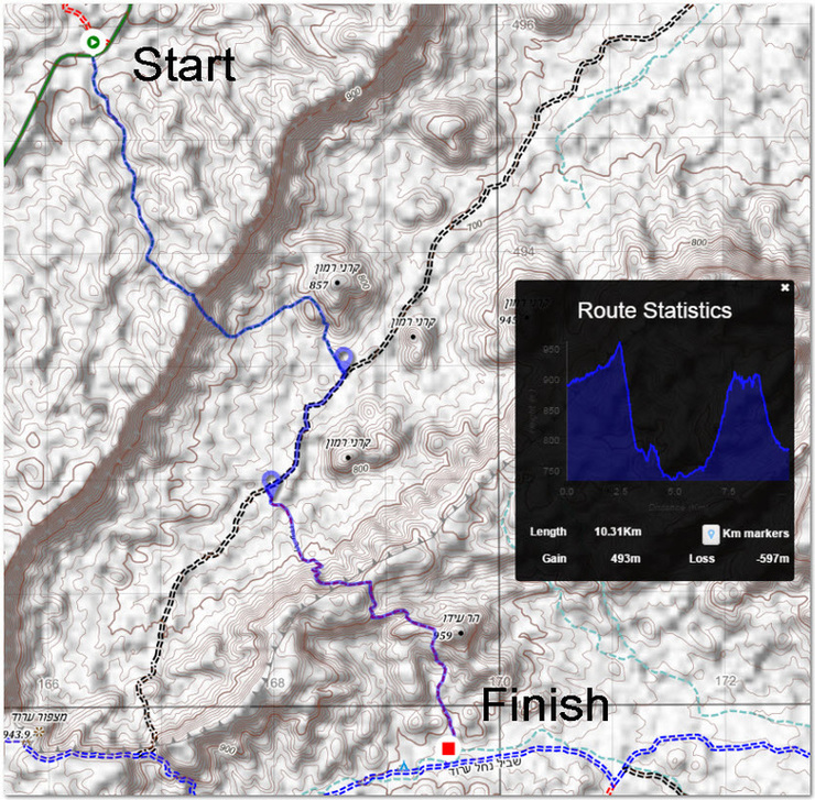
To get there from Mitzpe Ramon, drive 5 km north along highway 40 and then head west on highway 171 for about 23 km. Using Shvil map number 18, you will see a green trail 18260 going south from highway 171. That is the start point.
Follow the green trail down to the black 4x4 track and then turn right, continuing for about 2 km before turning left on the red trail 18232. There is a clearly marked side trail that takes you up to the top of Mount Ido before descending to the blue 4x4 trail 182320. That is a good place to park your vehicle.
To get to the camp site, either walk or drive the remaining 6 km along the blue trail heading east.
IMPORTANT INFORMATION: The black 4x4 trail 18345 marked on the map is impassable despite what the map shows. We learned that the hard way.
|
|
|


|
|
|
|

|

|

|