Even Sapir to Bar Giyorra
March 18, 2015
|
|
|
|
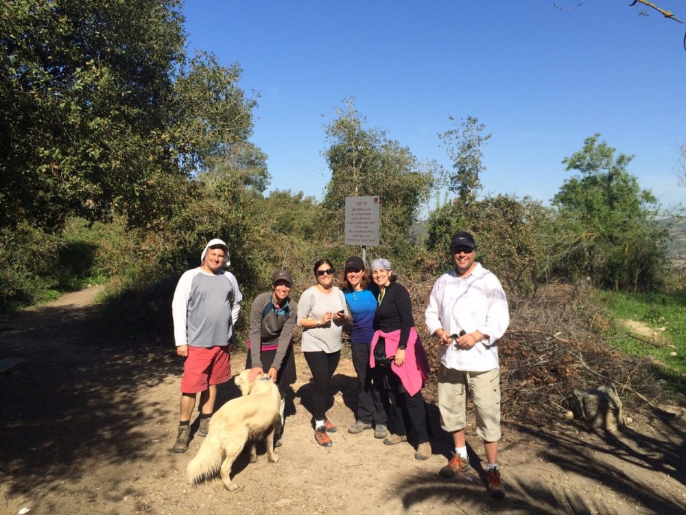
When we left Ra'anana at 5:30 am, it was crisp and cool, promising to be perfect weather for hiking.
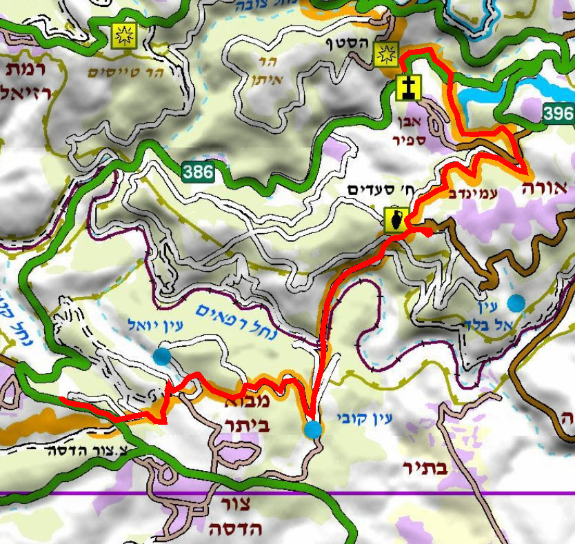
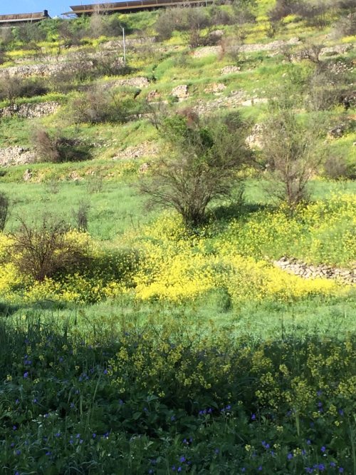
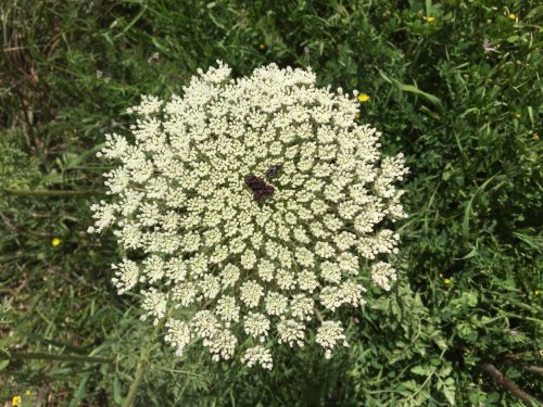
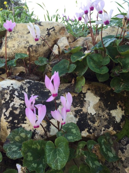
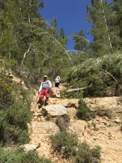
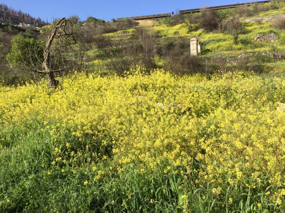
We left one car at the end point in Bar Giora beside a fire station, then drove to Even Sapir and parked in a lot just off Route 386. We walked through pines and meadows of spring flowers. Lupines grew from mossy rocks and yellow daisies dotted the path. Almond trees were still in bloom. We passed ancient terraces, some of which were still delineated by perfectly formed stone walls. |
|
|
|
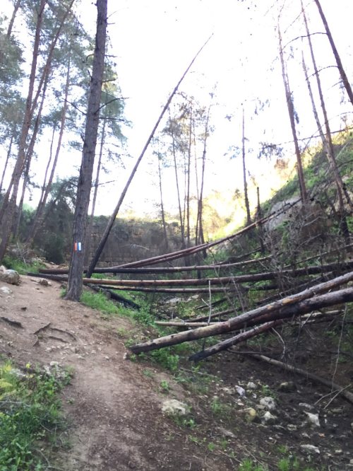
We then crossed under the road via a tunnel and entered a forest, soon facing a large stone wall. We were perplexed. The wall was obviously old and manmade, but the other side was simply filled in. Now, upon researching the area, I learned that this was actually a dam that was part of an ancient irrigation system. In fact, en route, we passed several square pools of water that looked like mikvehs, plus irrigation channels. There were also bubbling streams coming out from the rock. These are all signs that this was once a highly developed agricultural area.
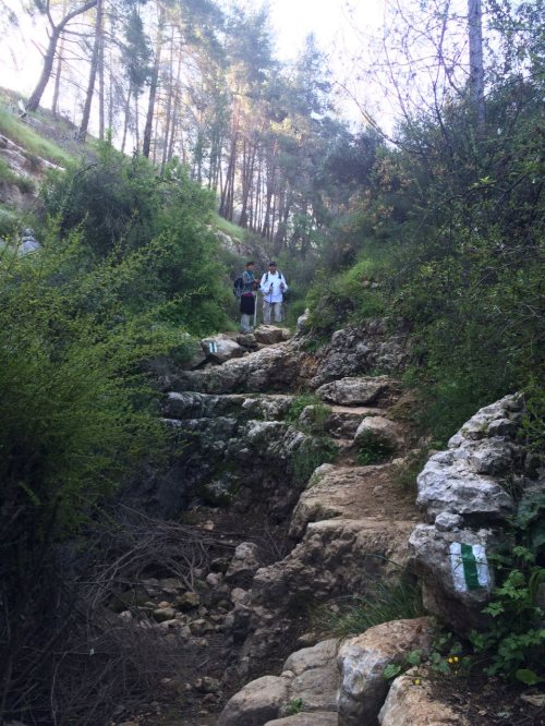
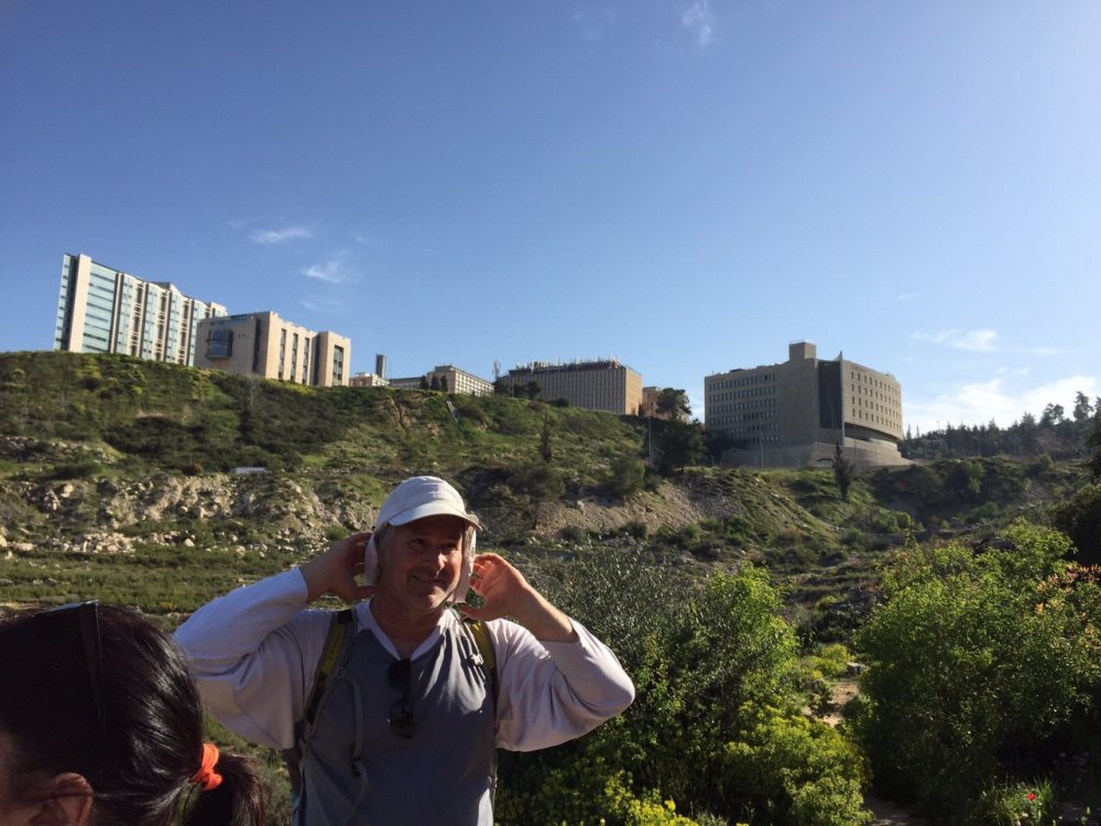
We soon saw the Hadassah Hospital above us and the golden dome of a church glistening from Ein Kerem. This was the closest the Shvil Israel would take us to Jerusalem. From here, one could follow the Jerusalem Trail south right through the city. We did not take this challenge; instead we continued the shvil, climbing up through pine forests. Along the way, we saw many wooden benches at perfect resting points. Some of the trail went up steps conveniently carved right into the slope, turning this section into a beautifully groomed and very user-friendly part of the trail. |
|
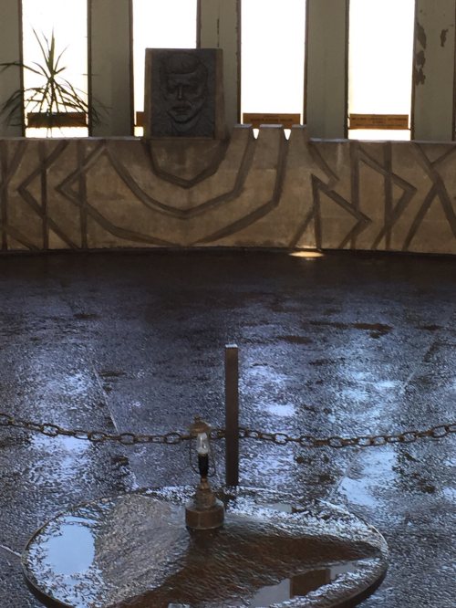
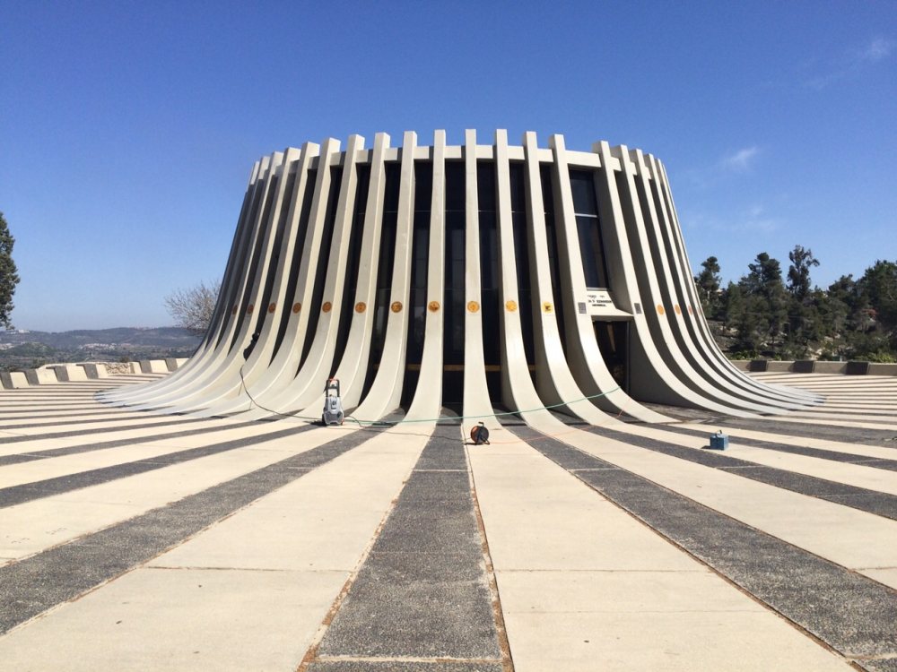
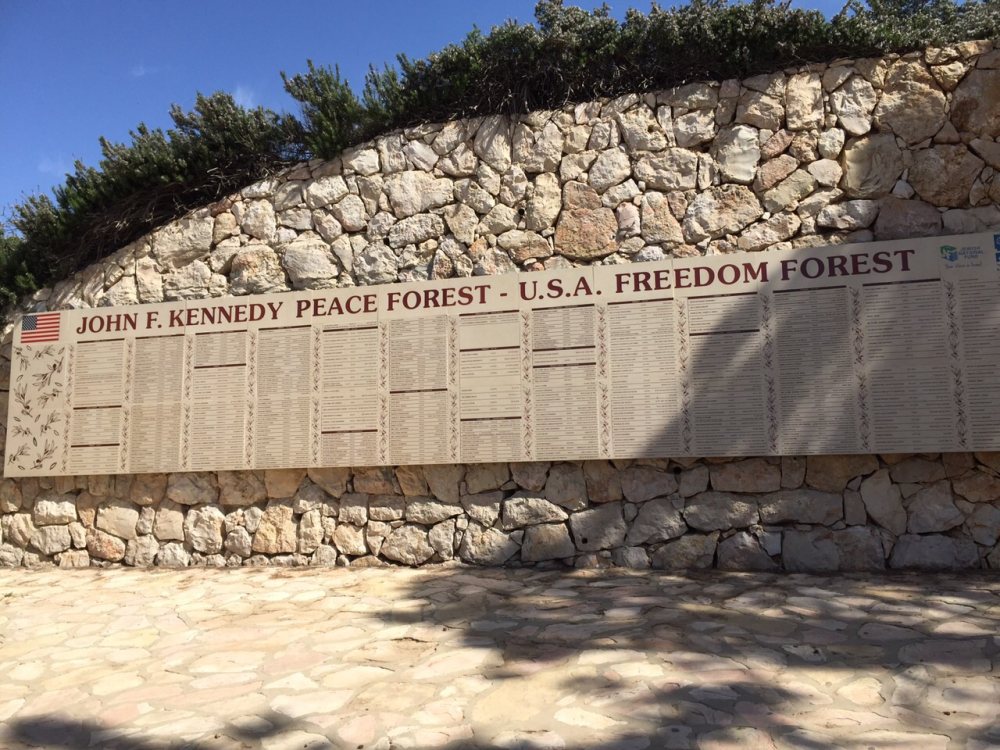
To make the day even more civilized, we soon arrived at the Kennedy Memorial where there were real washrooms! The memorial was a 10-minute uphill detour from the Shvil path. We climbed up to the impressive memorial with its breathtaking views from every side. Kennedy visited Israel two times in his life. The memorial was officially opened on July 4, 1966 and features a hall surrounded by 51 columns, each one representing an American state plus the District of Columbia. The memorial is designed in the shape of a tree stump that was cut prematurely, just like the life of John F. Kennedy.
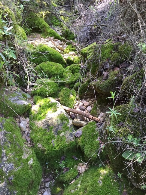
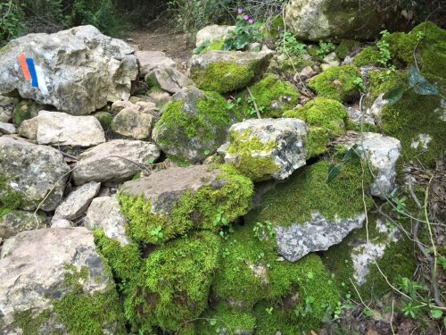
We walked through thick, shady pine forests and across mossy rocks until we came to a very steep descent, then walked along a road and down again until we met the train tracks that link Jerusalem to Beit Shemesh. We went under the tracks, then the path evened out nicely just as we were getting hot and tired.
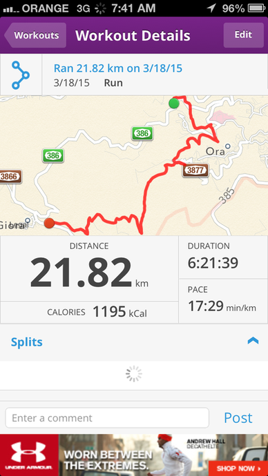
It was a beautiful hiking day, filled with lots of climbs and descents, but mostly shaded by the trees. Three of us measured the distance on three apps with three results. The range was from 17 to 21 kms over 7 hours with many breaks and lunch taken in a picnic area. All in all, a very civilized day on the trail.
We walked through thick, shady pine forests and across mossy rocks until we came to a very steep descent, then walked along a road and down again until we met the train tracks that link Jerusalem to Beit Shemesh. We went under the tracks, then the path evened out nicely just as we were getting hot and tired.
It was a beautiful hiking day, filled with lots of climbs and descents, but mostly shaded by the trees. Three of us measured the distance on three apps with three results. The range was from 17 to 21 kms over 7 hours with many breaks and lunch taken in a picnic area. All in all, a very civilized day on the trail.
|
|
|
|
|
|
|
|
|