Nahal Hagor and Nahal Saraf נחל חגור נחל שרף
For this desert adventure, we had two 4x4 vehicles. This enabled us to go deep into the desert to camp and hike. Israeli campgrounds that are accessible by car and bus are most often swamped with overly hormonal, screaming school kids - insomniacs who blast trance music. This is not always the case, but often is.
|
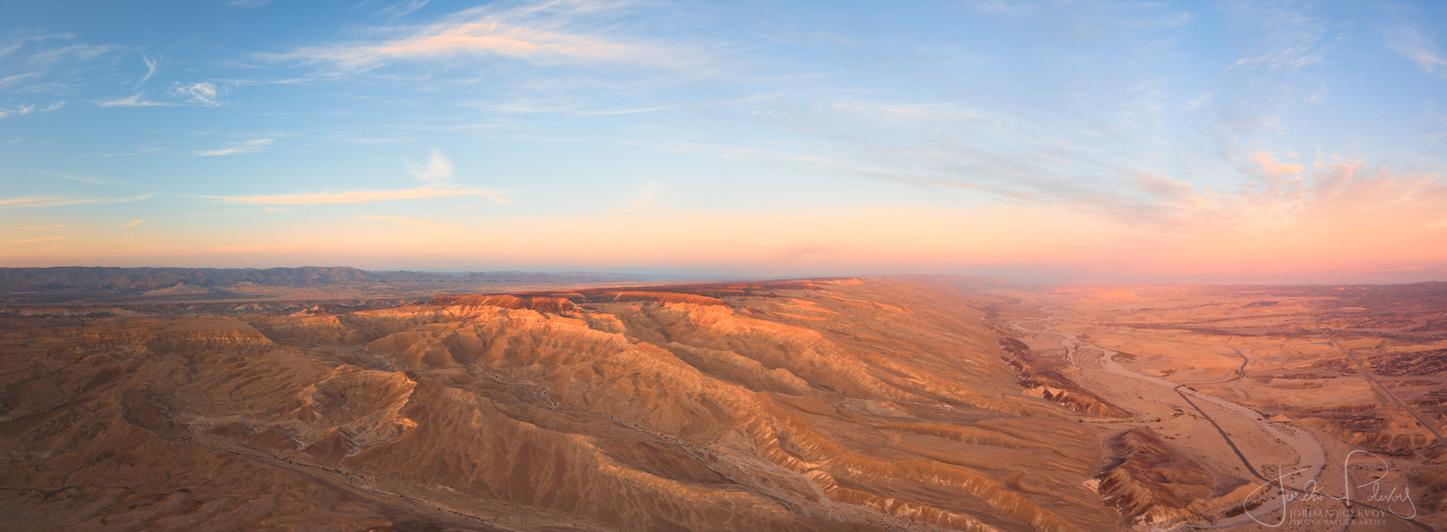
So we chose to leave the school trips in the dust and venture far out into no man’s land. As we started to drive, it certainly felt as if we were entering another world. We followed a hairpin road that descended into the southern part of Nahal Zin, passing warning signs about deadly curves, precipices and signs that said Do Not Enter and Firing Zone.
We shrugged, continuing until we arrived at the Rotem Amfert Zin phosphate factory that was chugging smoke and exhaling chemicals. Yet another sign said ‘Do not Enter.’ |
|
|
Onward we went, driving along a road that was developed solely for the industry. We shared the road with huge trucks lumbering past loaded with mined material. I could not see the mines but have read that the landscape has been deformed beyond belief by these practices.
We then arrived at a train crossing. It had a barrier that was down on both sides and a lonely hut for a train employee which was barren. |
I immediately felt as if this were the end of the road and the camping trip, but was instructed by my adventurous companion to get out and lift the barriers on each side of the tracks.
|
I did as instructed and on we went further into no man’s land. We caught up with our second 4x4 and together searched out the elusive campsite that was marked in pink on our map. We scoured the area and could not find it, finally realizing that it must be on the other side of the tracks.
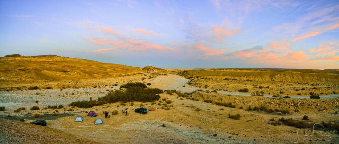
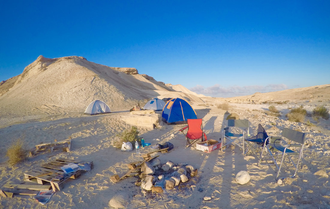
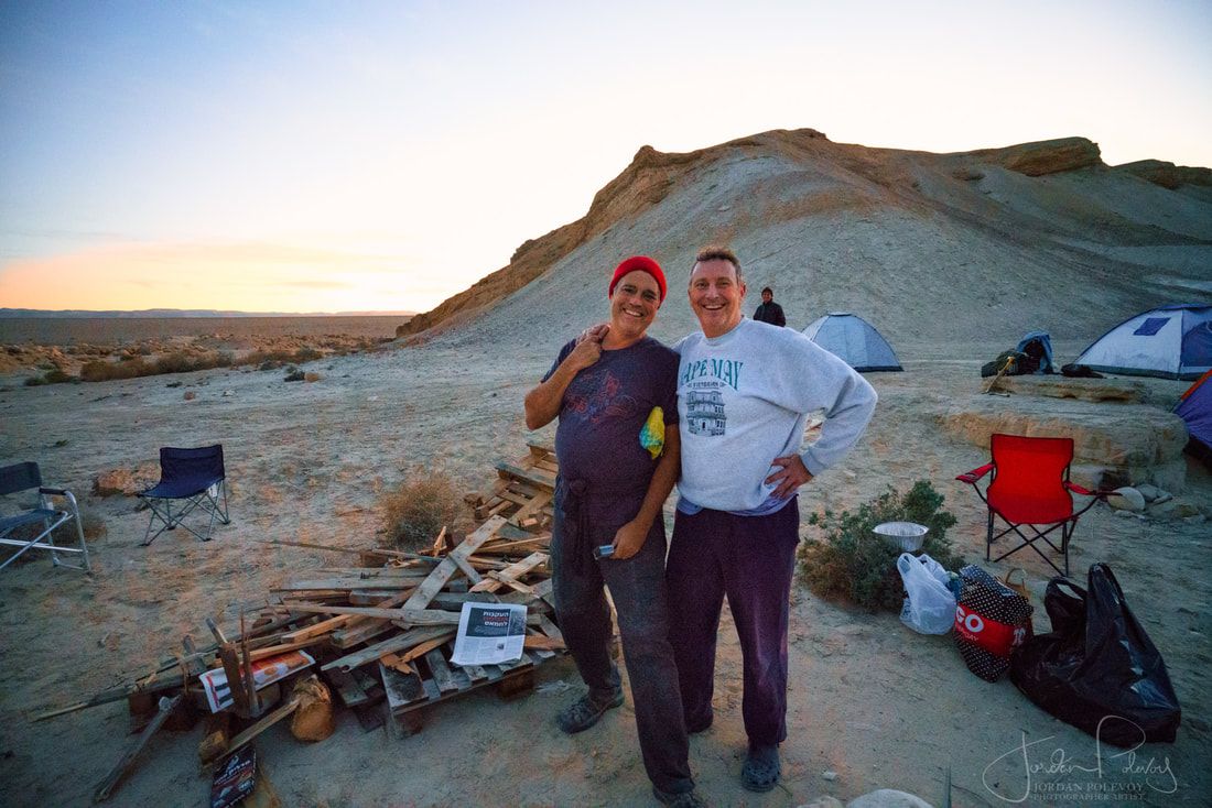
Again, we found nothing but a sandy flat spot that made for a nice place to set up our tents. The sun was sinking so we quickly set up camp and stoked a huge, flickering bonfire. |
|

|
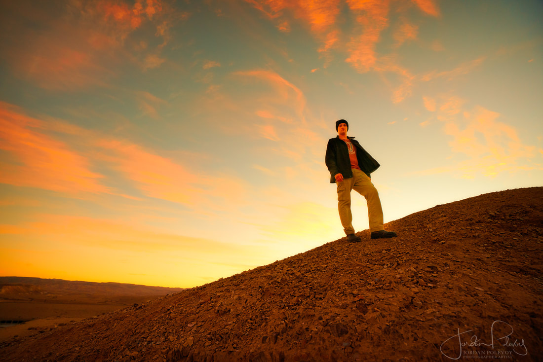
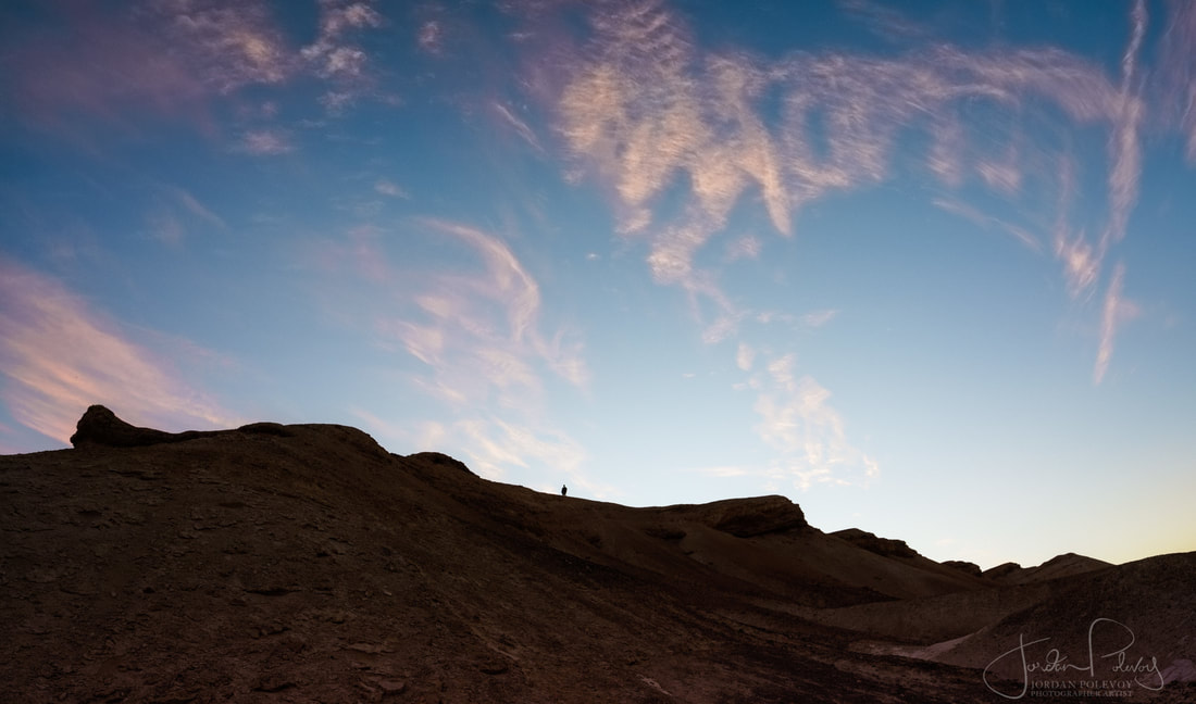
We sat beneath a starry sky and talked till late in the night, then retreated to our tents. I was woken by a tooting train that echoed across the vast empty desert.
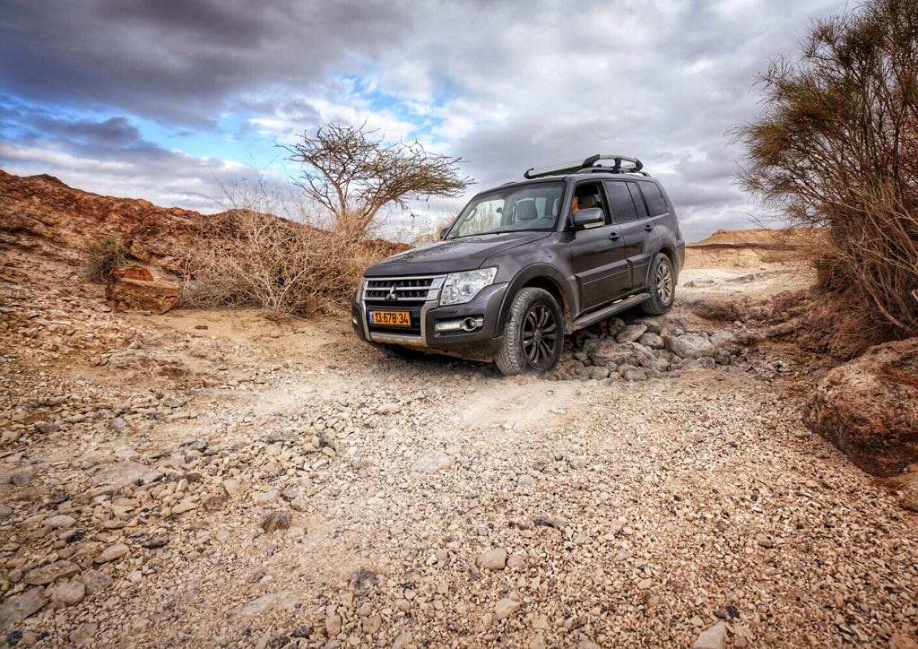
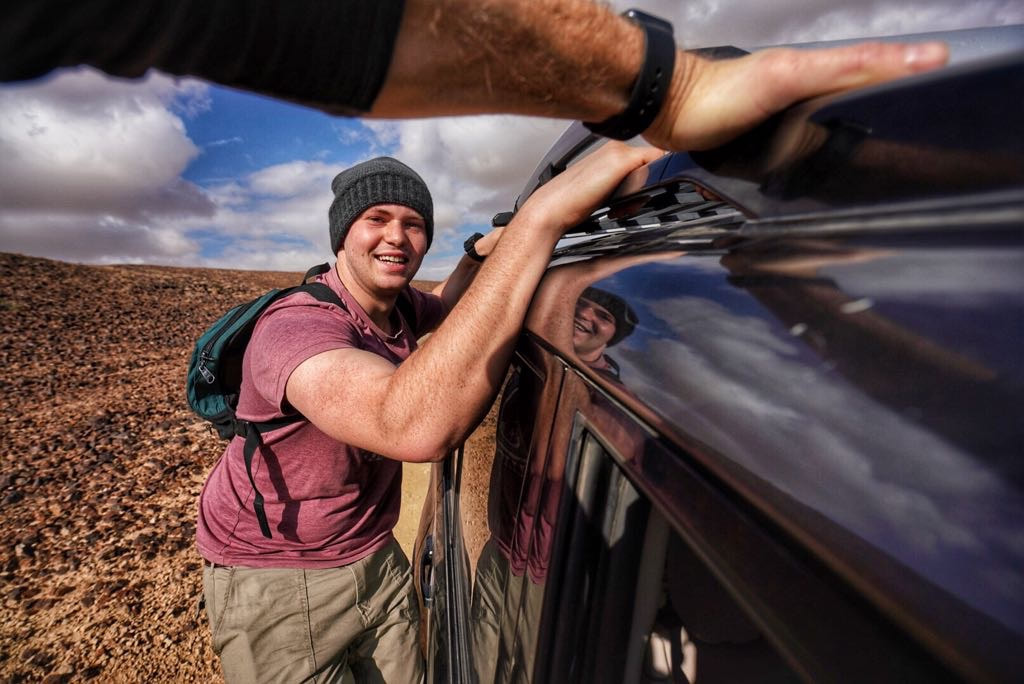
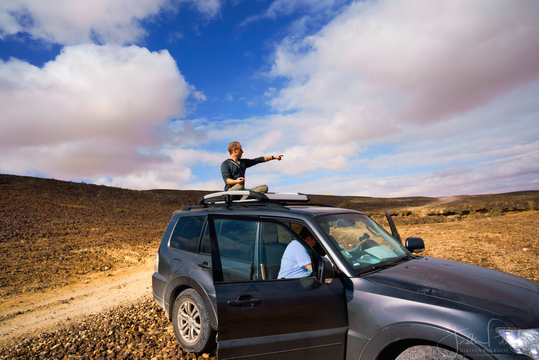
The next day we set out to find the hiking trail, driving along a gravelly 4x4 path that went on and on. When it became too precarious, we ditched one car and piled into the Pajero. Jordan and Yonatan stood on the sideboard and held onto the roof for a roller coaster ride along this bumpy road. |
|
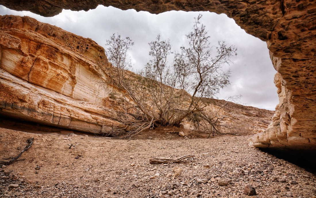
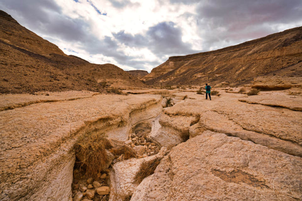
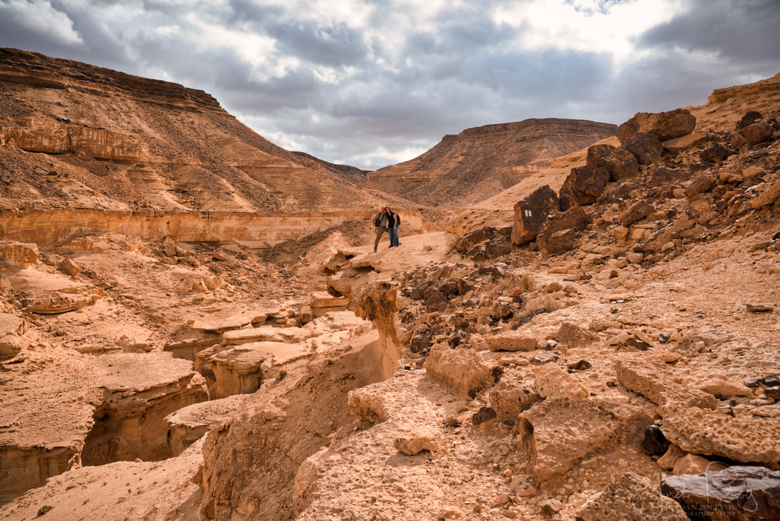
We finally found the black blaze, our sign to begin the hike. The weather was overcast and threatening rain but was great for desert hiking. We went across fairly flat moonlike terrain then descended back into the valley where we followed a green blaze along a canyon that became deeper and narrower as we walked.
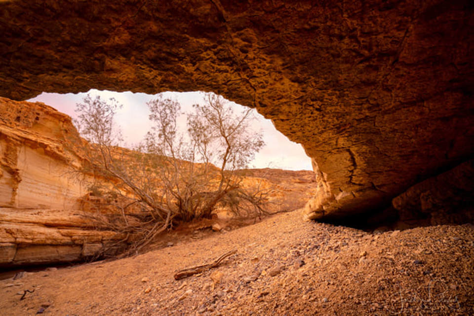
Nahal Saraf was the most beautiful part of the hike, taking us along the sides of the canyon with its majestic white limestone walls. From remains and stone drawings, it has been proven that this was a nomadic route since ancient times. |
|
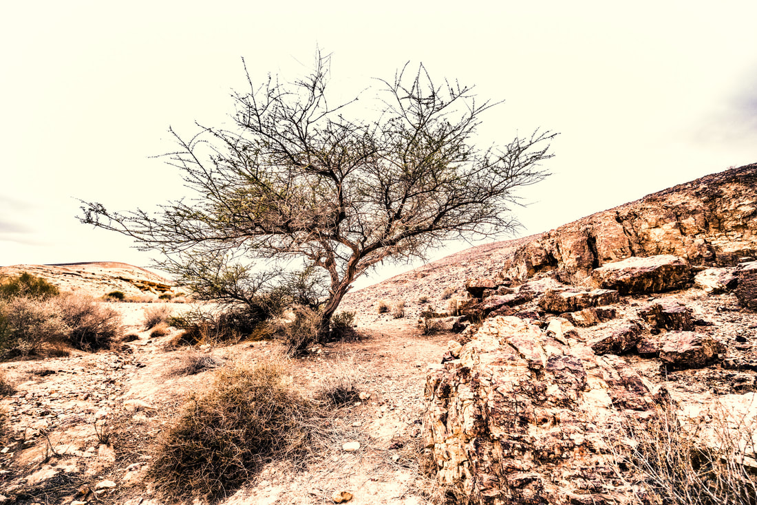
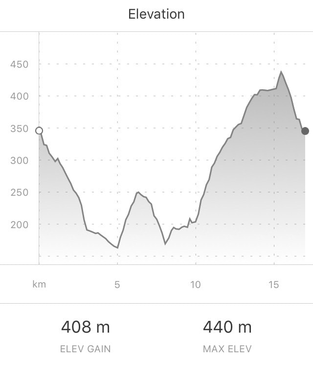
We saw deer grazing and eagles soaring but few flowers and occasional acacia trees. All was stark and silent. The trail wound from one side of the canyon to the other and then gently up until we reached the top. I read that there are sometimes pools of water here, but on this day, it was parched.
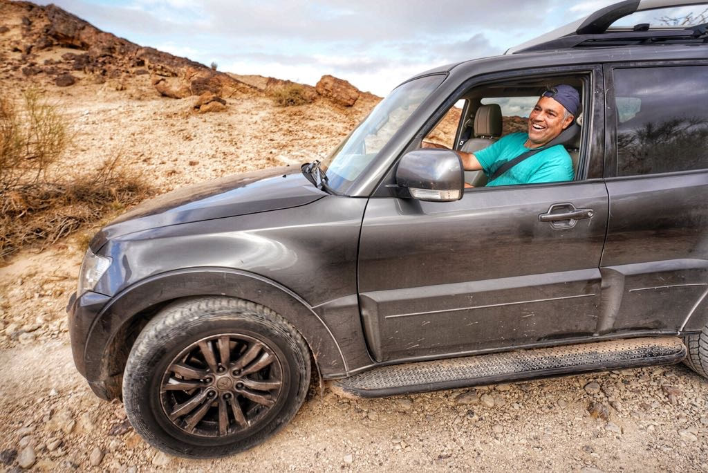
It was then a fairly easy and flat walk downhill to the car. Jordan had his drone track our car as we drove back along the dirt road, capturing the vastness of the terrain and the dexterity of the Pajero as it crunched and chomped atop the rocky road. This is what car commercials are made of and what car owners dream of, yet don’t do. But hey, we did!
It was then a fairly easy and flat walk downhill to the car. Jordan had his drone track our car as we drove back along the dirt road, capturing the vastness of the terrain and the dexterity of the Pajero as it crunched and chomped atop the rocky road. This is what car commercials are made of and what car owners dream of, yet don’t do. But hey, we did!
|
Getting there:
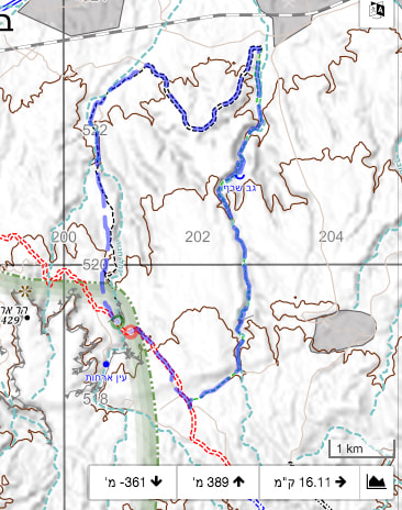
This is 4x4 access only. Starting with Waze, drop in these coordinates: 30.795359, 34.973417 That is the point that the blue trail meets the red trail just south of the railroad track. When you get to the red trail turn left. About 7km along this 4x4 track you will see the black trail to the left. That is the start point of this hike. As an aside, the night camp is reached by taking the right side cutoff to the blue trail about 1km before the coordinates shown above. The night camp is just north of the train tracks. The trail can be found at the bottom right corner of map #15, also crosses over to the top of map #17 between the red vertical lines 200 and 204. Black trail to green trail. |
|
|
|
|
|