Elifaz to Be'er Ora
|
|
Trail Notes - Date walked: February 26th, 2015
Start - At the northern entrance to Timna Park Finish - The settlement of Be'er Ora. Easy to find with Waze Water At the southern entrance to the park - about 7km into the walk. Restaurant with bathrooms, fountain outside. Map Number 20 Distance 16 km 348m cumulative ascent, 415m cumulative descent Link to view the trail on - WikiLoc Moed Bet Eilat to Timna
|
|
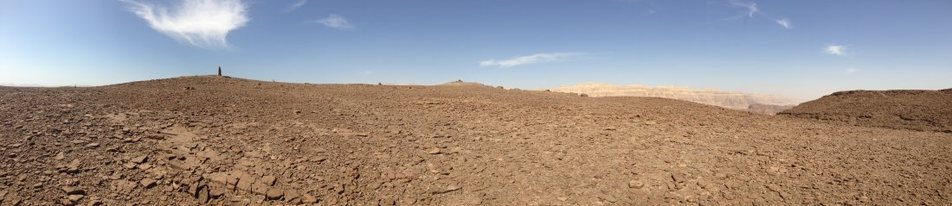
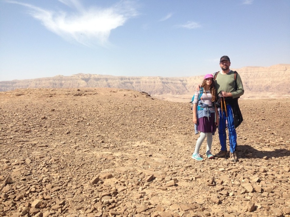
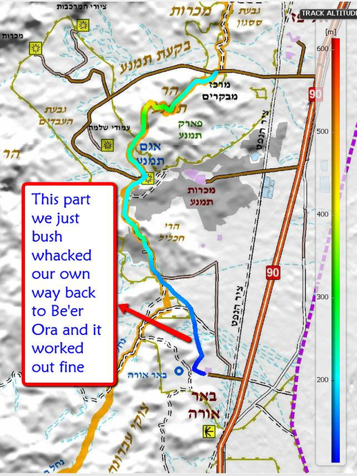
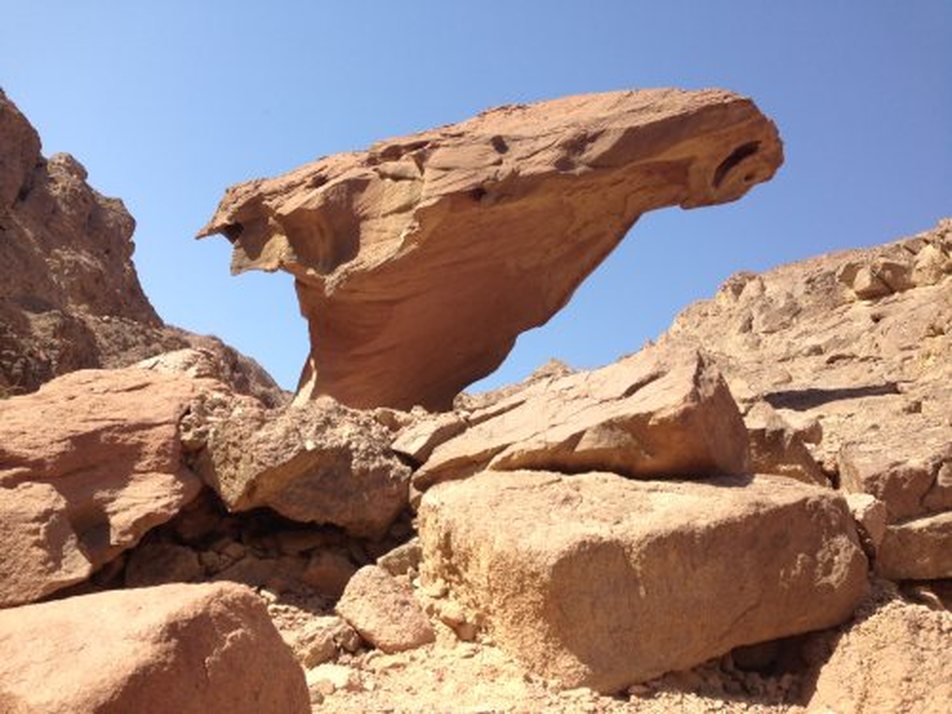
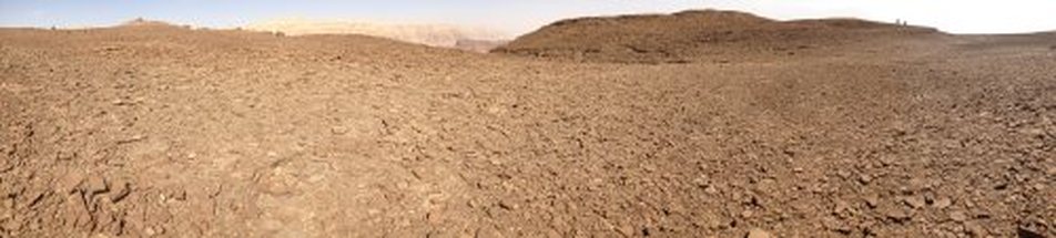
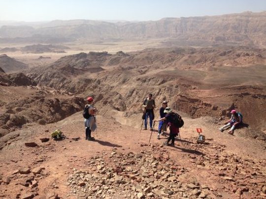
The night before this hike we slept over at Be'er Ora having done the walk from Canyon Shachoret. We drove our car to the entrance at Timna Park which is clearly marked from Highway 90. The early part of the hike takes you through what appears to be the remains of ancient copper mines and deeply carved river beds. By just under 4 km into the walk you have climbed about 250m to the top of Har Timna. With the help of a few ladder rungs one is hoisted over the top of a large plateau with incredible views in all directions. After spending some time exploring the moon-like surface of the plateau we began our descent down the south side. This was incredibly slow going as the slope is slippery with fine gravel and disarmingly steep. After reaching the desert floor we walked another 3km to get to the southern park entrance. The restaurant there was open and we ate at the picnic tables outside. The remaining 9km are quite flat. We decides to go off trail and just take the open fields to Be'er Ora. if you opt to follow the Israel Trail it will take you in a more circuitous and hilly route to the west. We skipped it this time because we had done that part the day before when coming up from Canyon Shachoret.
|
|
|
|
|
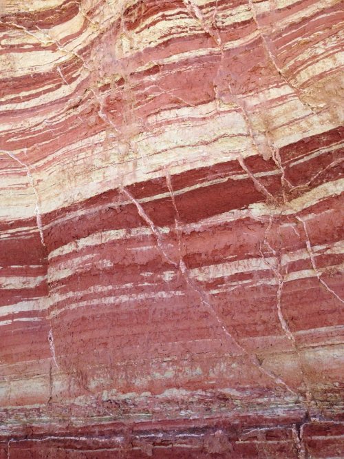
Timna Park Timna Park deserves a day trip of its own. Here you can rent bikes and follow established routes at every level - from family cruising to serious off-roading. There are guided tours of the area explaining the history and geology. There is a restaurant on site. Kids of all ages can create bottles of multi-colored sand designs. There are even light shows at night. There is also an overnight camping area with tents, mattresses, showers and toilets. |
|
|
|
|
|