Carmel Mountains (#13)
|
April 16, 2014
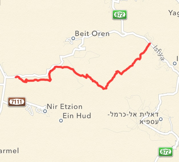
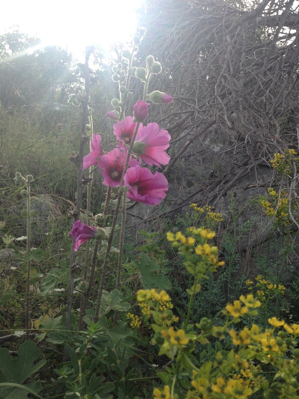
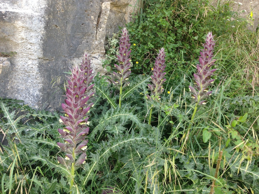
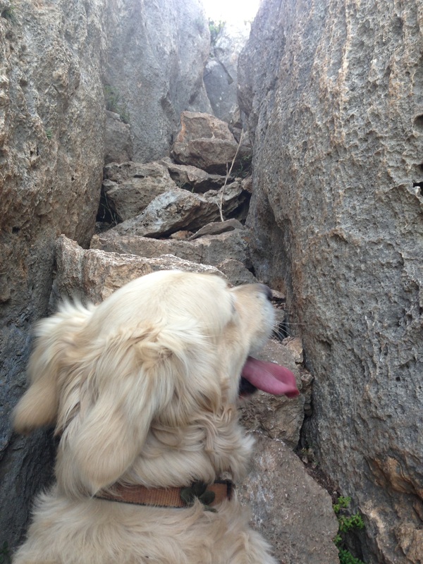
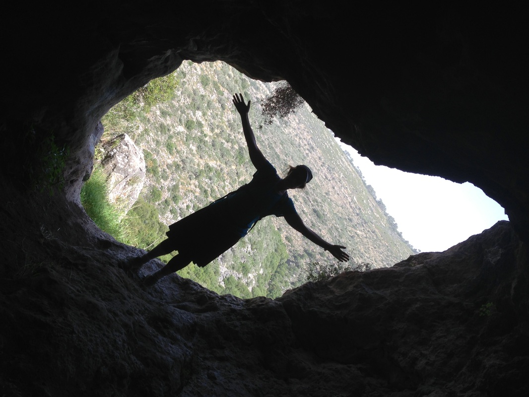
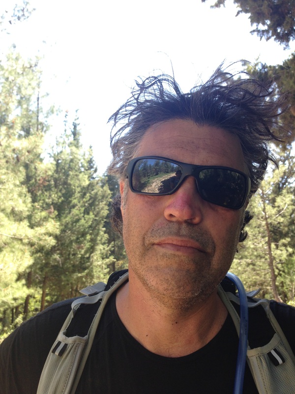
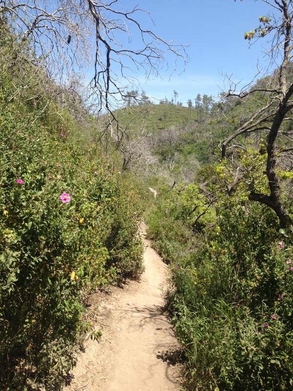
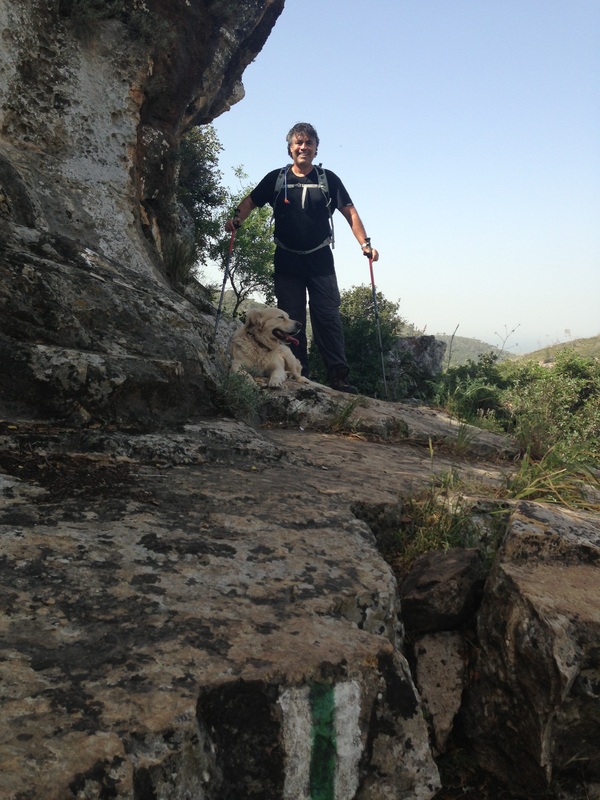
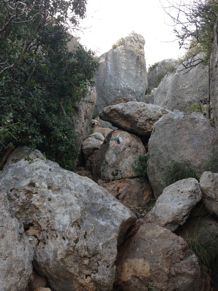
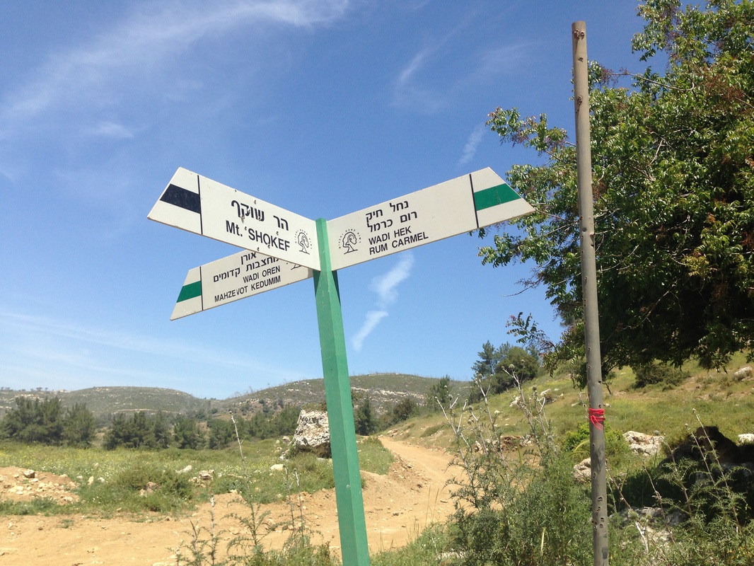
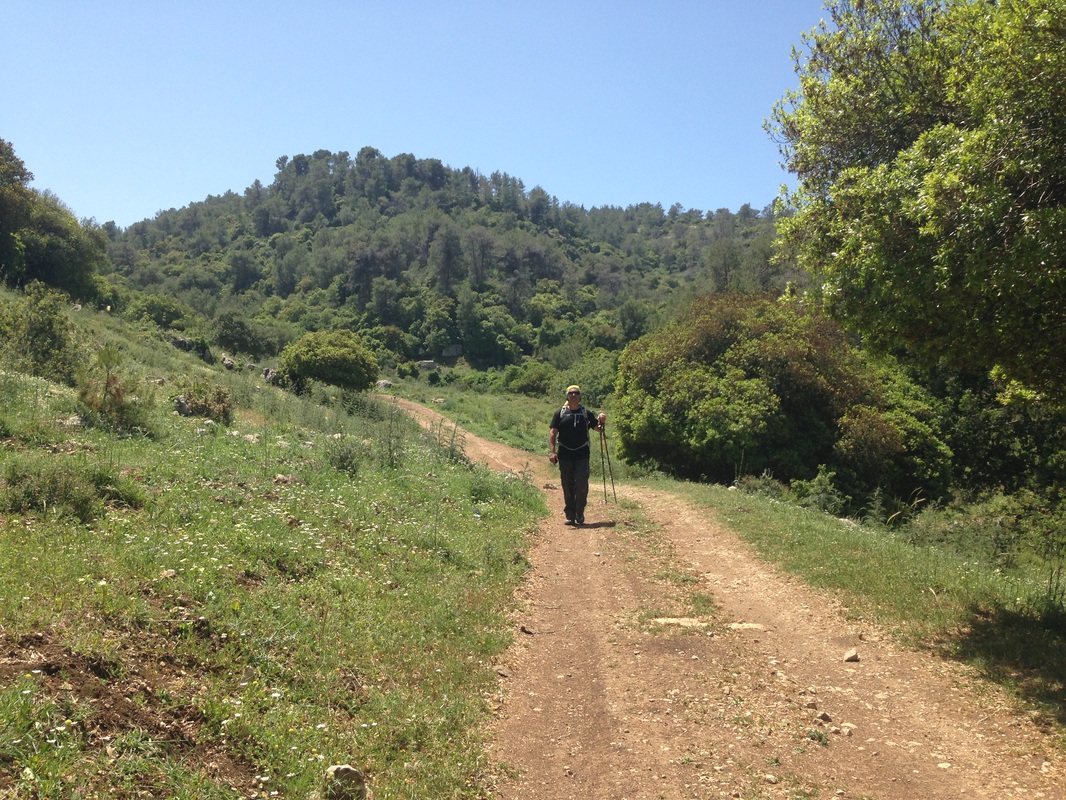
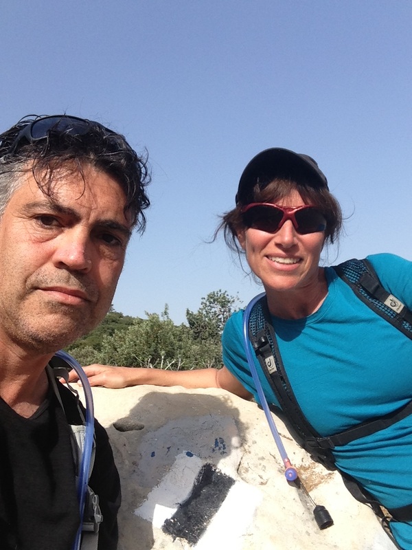
OK - this is really the scouting mission by Amir, Nicole and TJ before the main group heads out... We started at Beit Oren in the Carmel Mountains. We parked our car on Road 721. This windy, mountain road travels eastward through the heart of the Carmel Range, an area affectionately called Little Switzerland. This was definitely challenging despite the fact that at about 13 km, it was shorter than most of the other hikes that we've done on the trail. What made it challenging was the vertical. Overall we climbed 840m and descended 360m. The trail immediately led us uphill, climbing through forest. At one place near the top, we had to hoist ourselves up through a narrow stone passage. Our hiker dog TJ (who too has done about 300 kilometers of this trail) found this point impassable and needed an extra push from behind to make it through. Breathless, we arrived at the top, having climbing 500 meters within the first hour. Walking poles are highly recommended for this hike. We then hugged the side of the shady mountain and walked eastward, marveling at the caves and formations in the limestone that seemed to drip, the carstite creating smooth pillars and windows in the rock face. The trail climbed up again to a lookout. At the top, we could see the devastation from the Carmel Forest fire that raged in December, 2010, killing 44 people and creating a natural disaster. The trees on the ridge were skeletal, while the brush underneath had grown back strongly, surrounding us with wildflowers and scents of thyme and oregano. 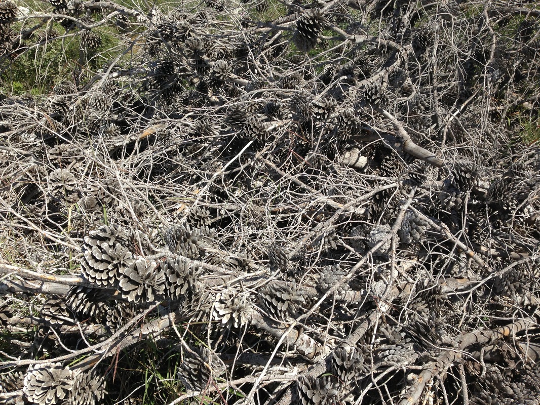
|
|
The path then descended steeply though thick forest. As I had no hiking poles, I grabbed onto branches and roots to stop from sliding and tumbling as we went down into a valley.
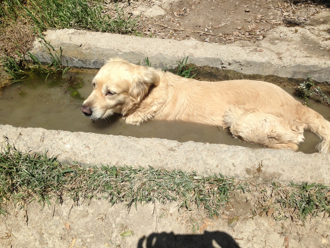
The path then took us into Wadi Chiq, an old riverbed. We walked along the dark, cool wadi, slowly heading uphill. A few cows that had found refuge here refused to move, merely blinking back at us as we tried to pass. TJ was of no assistance here. 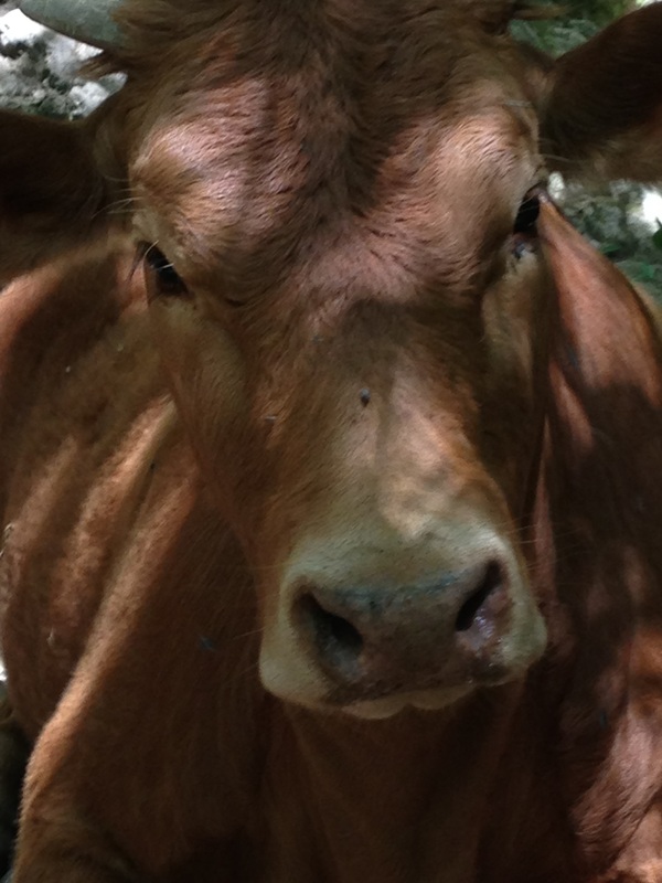
But this the beauty of Israel. You could be in an urban setting, yet if you follow a colored blaze just to your left, then walk a few steps, you will enter into a natural paradise. It took a few minutes, but we soon realized we were in a Druze village called Usifya. I had never been there, so on the way home, I googled it. I landed on the mayor’s welcome page and found this. |
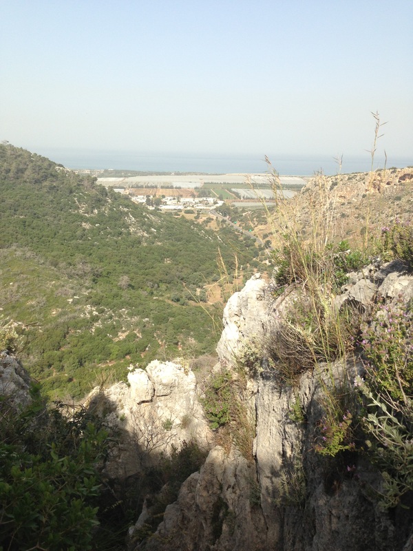
We walked past the Carmel Forest Spa and saw vistas that stretched across the range to the Mediterranean where we could see white sailboats bobbing on the water in the distance.
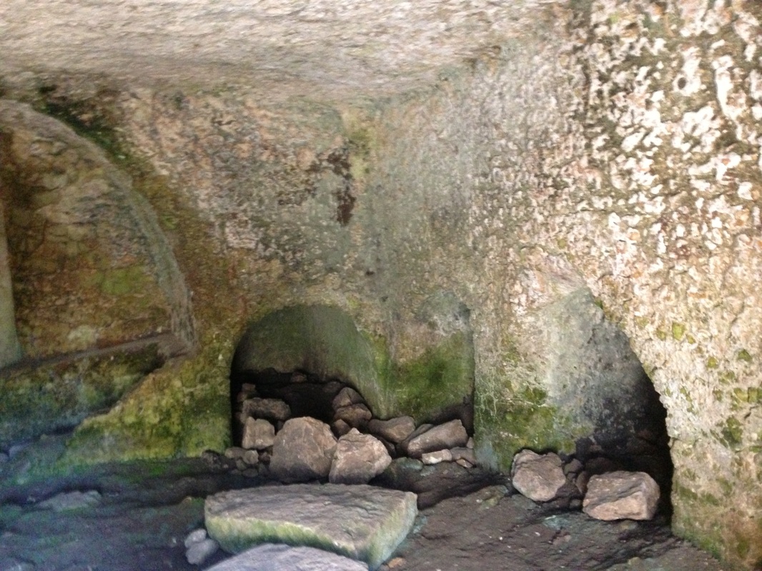
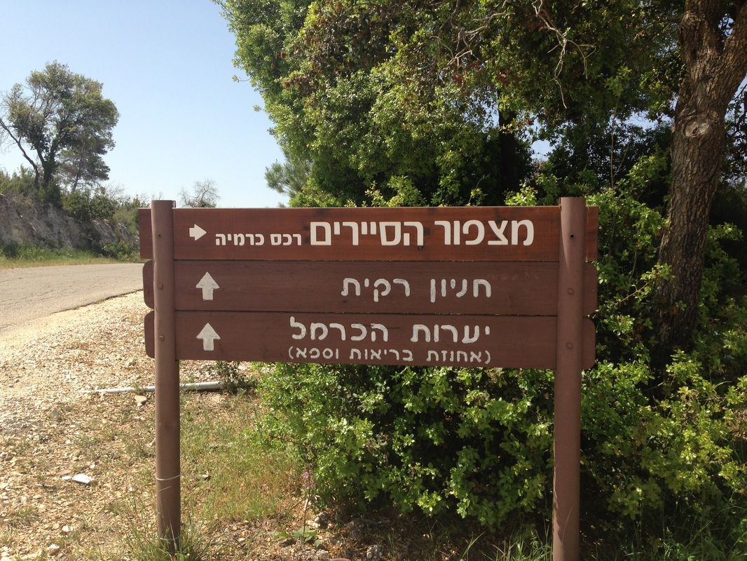
We passed an ancient burial cave where once five ossuaries were placed. Soon after, we saw a recreational area with picnic tables, washrooms and fresh water, a perfect place to stop and rest. This park was close to the archeological sites of Chorbat Rakit and the Yisach Cave.
We left the wadi and climbed up the side using metal bars as hand grips to pull ourselves up the steep rocky slope. (TJ had to be pushed up here too.) This path continued uphill until we finally saw the roofs peaking out above us.
Exiting the trail, we found ourselves in the midst of a foreign, honking, urban world. Leaving the tranquility of the trail behind and stepping into a strip of car mechanic shops and zooming buses made me a bit shell shocked. Not wanting to move, I blinked like those cows in their cool refuge way down below. 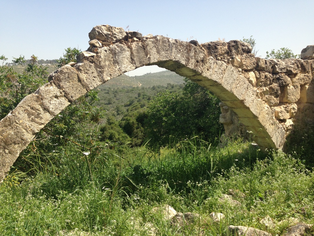
Want to visit Usifya? Maybe the mayor needs a better translator!
|

Weary, our feet tired and our bodies sweaty, we felt elated at having discovered another exquisite part of Israel. Fresh air, open vistas, a trail map and a pair of hiking shoes. This is Israel living at its best.
|
|
|
|
|
|
|
|