• Home
  • Israel National Trail
  • North
    • Kibbutz Dan to Ginosar
    • Mount Arbel
    • Kinneret to Kfar Kish
    • Kfar Kish to Mount Tabor
    • Mount Tabor (Shibli) to Nazaret Illit
    • Isifya to Nofit
    • Nahal Oren to Isifya
    • Ofer to Nahal Oren >
      • The Enchanted Forest
    • Beit Hanania to Ofer
  • Central
    • Alexander to Beit Hanania
    • Poleg to Nahal Alexander >
      • Map - Poleg Beach to Nachal Alexander
    • Poleg to Herzliya
    • Bnei Brak to Hod Hasharon >
      • Mall to Mall Revisited
    • Herzliya to Bnei Brak
    • Hod Hasharon to Road 465
    • Road 465 to Gimzo
    • Bnei Brit caves to Evan Sapir
    • Evan Sapir to Bar Giyorra
    • Tsur Hadassa to Tel Azeka
    • Tel Azeka to Beit Guvrin
    • Beit Guvrin to Tel Keshet
    • Tel Keshet to Dvira
    • Dvira to Meitar
    • Amassa to Meitar
  • South
    • Har Amasa to Arad
    • Nachal Ye'elim
    • Arad airstrip to Meitzad Tamar
    • Meitzad Tamar to Road 227
    • Road 227 to Oron
    • Carbolet
    • Mador to Ekev
    • Avdat to Wadi Hava
    • Wadi Hava to Mitzpe Ramon
    • Givanim to Gev Holit
    • Gev Holit to Sapir
    • Nahal Barak
    • Tsihor to Shizafon
    • Shizafon to Shacharut
    • Timna to Shacharut
    • Elifaz to Be'er Ora
    • Canyon Shachoret to Be'er Ora
    • En Netafim to Canyon Shachoret
    • Taba to En Netafim
  • Resources
  • Other Hikes
    • Merhav Am to Avdat
    • Nahal Daroch
    • Ein Ekev Overnight
    • Mount Ido
    • Mount Pitam
    • Merhav Am Loop Trail
    • Nachal Tze'elim to Nachal Mishmar
    • Ma'ale Tzapir
    • Emek HaMayanot I
    • Nahal Hagor and Saraf
    • Maktesh HaKatan
    • Nahal Tsafit
  • About Us
  • Hikers Poem
  • Foraging
  • Contact
RaananaHikers

Mount Pitam
Negev - West of Mitzpe Ramon, December 10, 2015

Picture
Picture
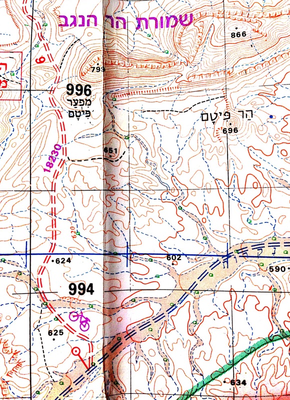
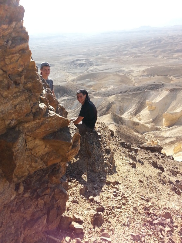
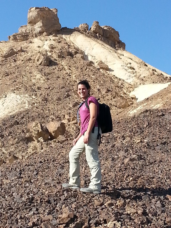
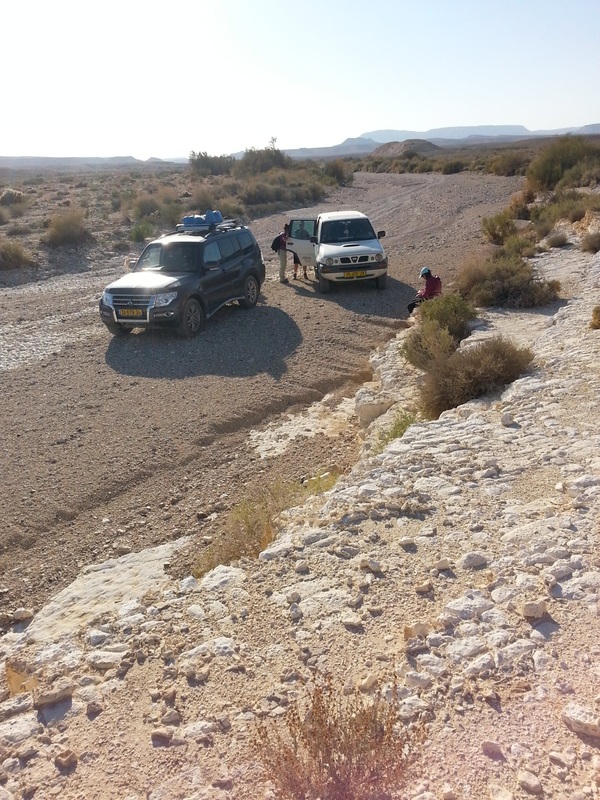
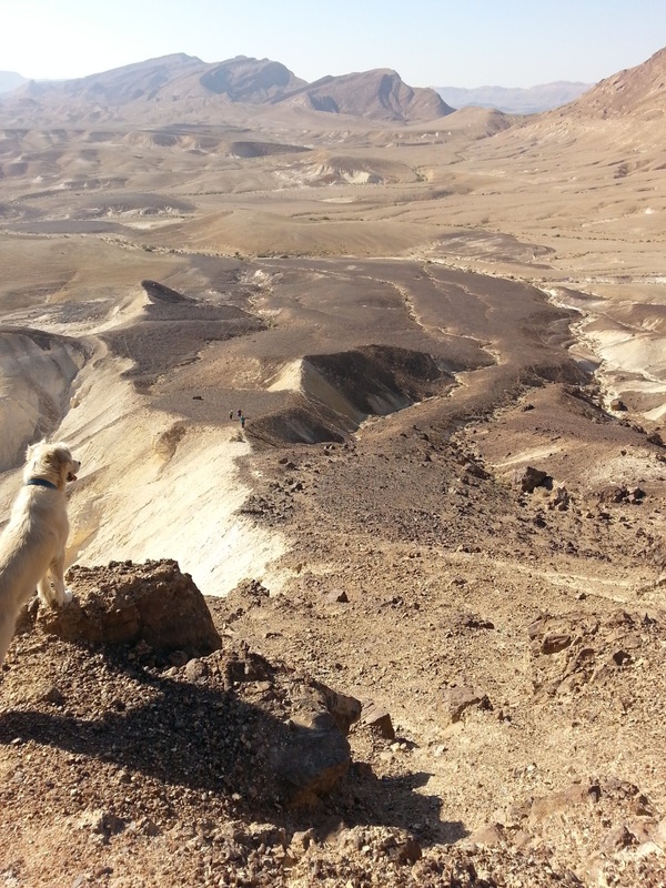
Har Pitam is a short `off piste` hike that can only be accessed by 4x4 from the river bed trail of Nahal Nakarot.  We were heading back to Mitzpe Ramon from the camp site at Nahal Oded when we saw a strange looking peak about 1.5 km north of the trail that had, what looked be a Pitam from an etrog on top of it.
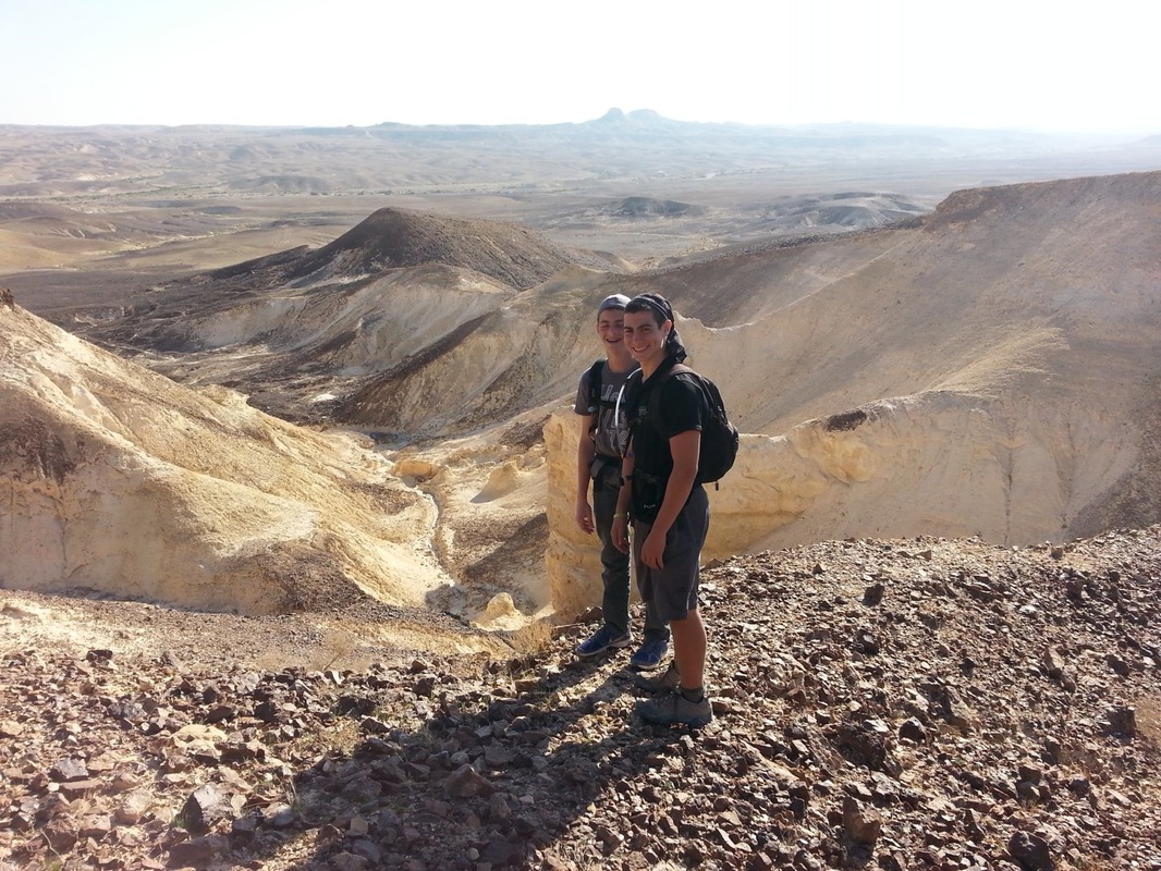
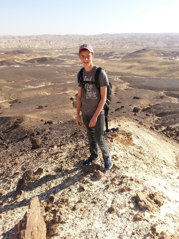
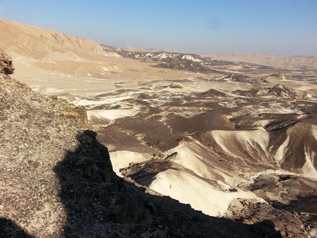
There is no direct trail to the hill but its fairly simple to get there with no major obstacles in the way.  We learned that the best way to do it is to climb it from the east side and descend down the west side.  Extreme caution was needed coming down.  It is much steeper than it looks from far away and can be very dangerous especially withour equipment.  At 696 metres, the views from the top are spectacular.
Picture
Picture
Picture
Picture
Picture
Picture

Contact Us

            Resources

Other Hikes

Vacation Home in Tsfat

               Copyright © 2017