Arad airstrip to Meitzad Tamar
Section 32 (Part 2) 35 km
|
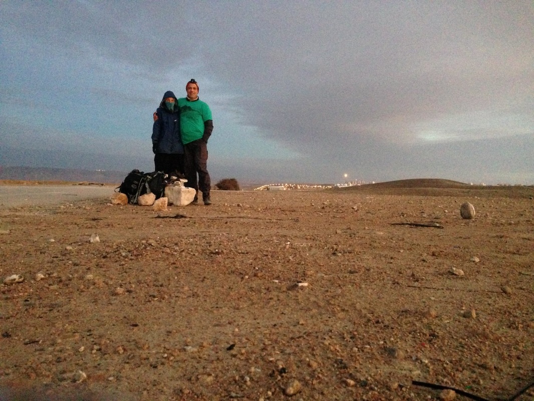
The day started with our alarm going off at 5:00 am in a freezing, damp and pitch dark tent. To preserve body heat, I wore my sleeping bag over my head and fumbled around for my headlamp. We had arranged for a cab to pick us up at 6:00 (our car was safely tucked away at Kibbutz Amasa) and by 6:15, we were already outside Arad and back on the trail. It was still chilly, but we could see the sun peeking out from the mountains to the east, promising a clear, hot day.
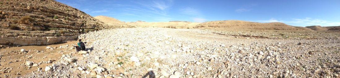
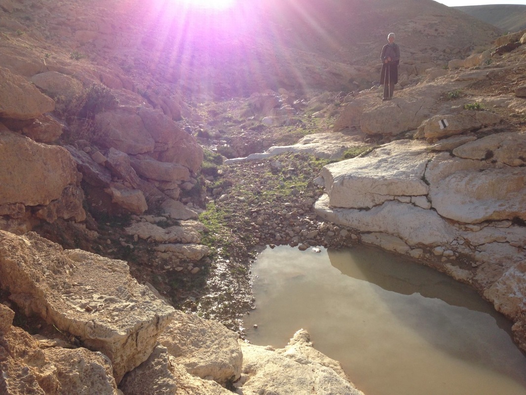
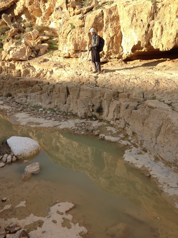
We followed a jeep track and then went into a gulley where we met up with a riverbed that we followed for hours. The rock was smooth and white, and glistening water from the recent rains had pooled in many of the crevices. In narrow spots, the river was impassable due to the water so we had to climb up to the edges. |
|
|
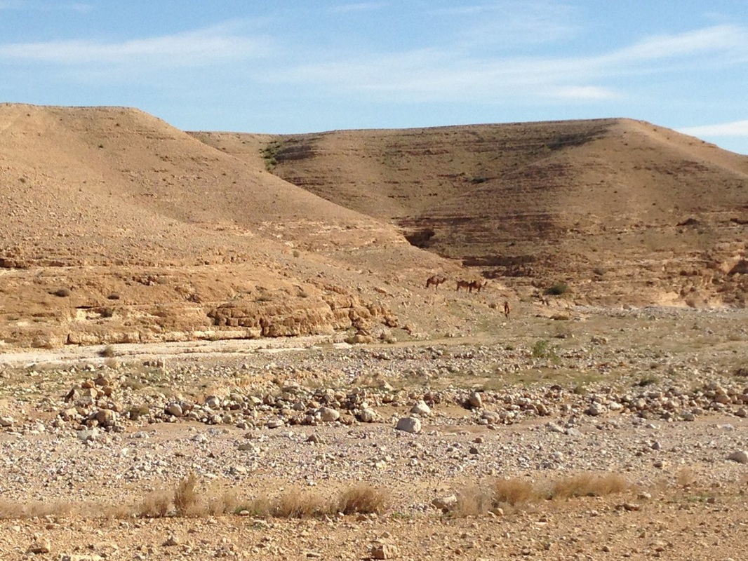
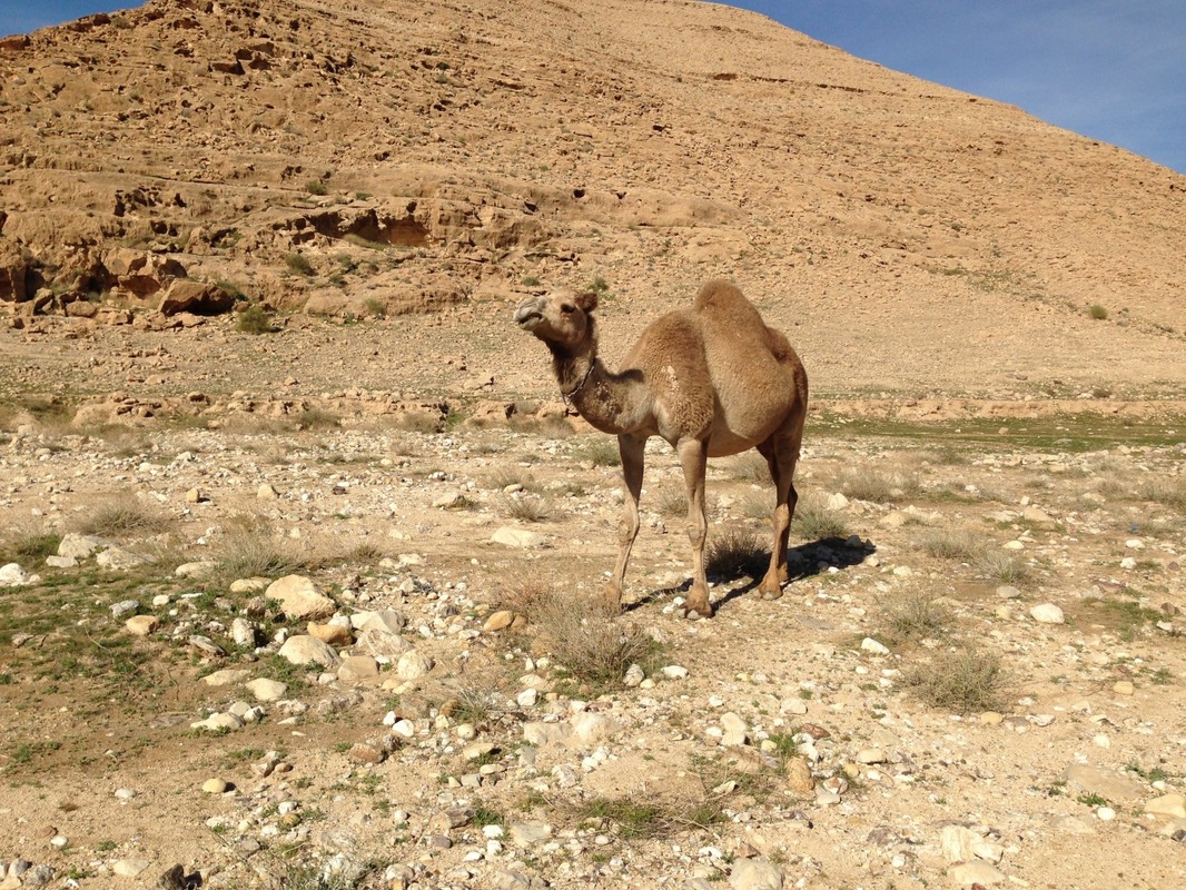
The gorge opened up and met with a second riverbed. The day was hot and dry and we peeled off all extra layers. As we were sitting down to eat, a camel appeared from behind a mountain. Another followed and then another pranced out, munching on plants. There was no owner or shepherd to be seen and the camels looked independent. In fact, they were following the Shvil Israel perfectly, heading in the same direction as us.
We walked along the rocky riverbed until we came to a magnesium mine and then to the road. This was the point where we could have ended our day, but as it was just 11:45 am, we decided to continue and take on another 18 km section of the trail. I took off my hiking boots as we started to follow a road. This road was paved in spots and wound uphill before turning into a 4x4 track. |
|
We followed this same road most of the day and were cautious about keeping a quick pace as we wanted to finish by day’s end. The trail was gentle (I was able to keep my running shoes on all day) with two steep ascents. We saw no one save for two Bedouins in a jeep, a hiker meditating on a hillside who seemed to have no cares in the world. We saw more camels, this time being yelled at by a young shepherd. The camels did not obey and the yelling grew louder.
|
We walked on into silence, the only sounds being the crunching below our feet and the clicking of poles. We had walked over 30 km and had to focus our minds to tap into strength to continue.
At last, we saw the road, a sign that we were nearing the end. We walked past a mine and under a conveyor belt that was perched above, a highway of Dead Sea minerals cut into the mountains. Our hips ached and our feet were swollen from 10 hours of practically non-stop walking. We called our driver and as we reached the sign for Matzad Tamar, he pulled up, whisking us back to civilization, comfort and our car at Har Amasa. It is a bit of a shock to transform from desert to city life so quickly, but we look forward to returning. |
Trail Facts: Distance 35 km, Climb 480m, Descend 670m. Difficult hike due to the distance. Wikiloc Map Reliable Driver - Moshe 0523902477
|
|
|