• Home
  • Israel National Trail
  • North
    • Kibbutz Dan to Ginosar
    • Mount Arbel
    • Kinneret to Kfar Kish
    • Kfar Kish to Mount Tabor
    • Mount Tabor (Shibli) to Nazaret Illit
    • Isifya to Nofit
    • Nahal Oren to Isifya
    • Ofer to Nahal Oren >
      • The Enchanted Forest
    • Beit Hanania to Ofer
  • Central
    • Alexander to Beit Hanania
    • Poleg to Nahal Alexander >
      • Map - Poleg Beach to Nachal Alexander
    • Poleg to Herzliya
    • Bnei Brak to Hod Hasharon >
      • Mall to Mall Revisited
    • Herzliya to Bnei Brak
    • Hod Hasharon to Road 465
    • Road 465 to Gimzo
    • Bnei Brit caves to Evan Sapir
    • Evan Sapir to Bar Giyorra
    • Tsur Hadassa to Tel Azeka
    • Tel Azeka to Beit Guvrin
    • Beit Guvrin to Tel Keshet
    • Tel Keshet to Dvira
    • Dvira to Meitar
    • Amassa to Meitar
  • South
    • Har Amasa to Arad
    • Nachal Ye'elim
    • Arad airstrip to Meitzad Tamar
    • Meitzad Tamar to Road 227
    • Road 227 to Oron
    • Carbolet
    • Mador to Ekev
    • Avdat to Wadi Hava
    • Wadi Hava to Mitzpe Ramon
    • Givanim to Gev Holit
    • Gev Holit to Sapir
    • Nahal Barak
    • Tsihor to Shizafon
    • Shizafon to Shacharut
    • Timna to Shacharut
    • Elifaz to Be'er Ora
    • Canyon Shachoret to Be'er Ora
    • En Netafim to Canyon Shachoret
    • Taba to En Netafim
  • Resources
  • Other Hikes
    • Merhav Am to Avdat
    • Nahal Daroch
    • Ein Ekev Overnight
    • Mount Ido
    • Mount Pitam
    • Merhav Am Loop Trail
    • Nachal Tze'elim to Nachal Mishmar
    • Ma'ale Tzapir
    • Emek HaMayanot I
    • Nahal Hagor and Saraf
    • Maktesh HaKatan
    • Nahal Tsafit
  • About Us
  • Hikers Poem
  • Foraging
  • Contact
RaananaHikers

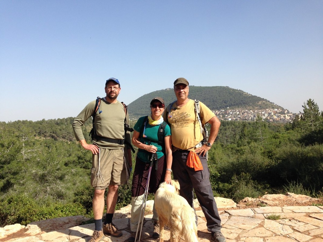
Mount Tabor (Shibli) to Nazaret Illit (#10a)

April 27, 2015

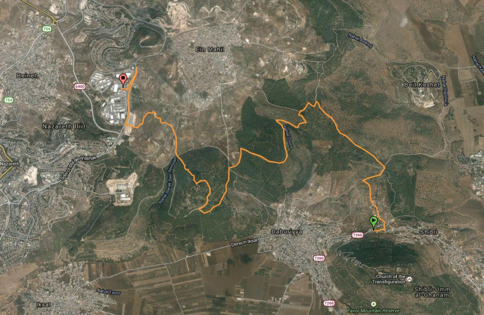
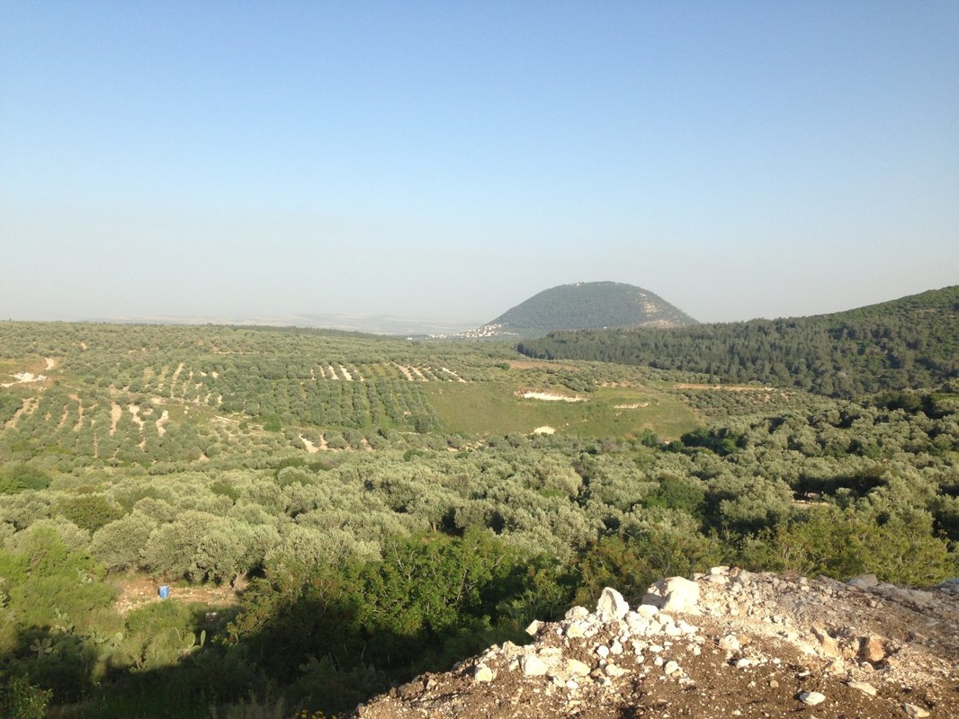
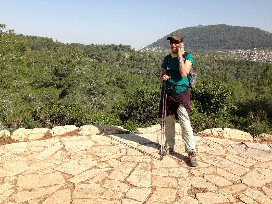
This is a beautiful part of the Israel Trail.  We spend most of it winding through forested country roads.  A real treat.  However, it was our latest start ever.  We did not get onto the trail until 3pm.  The plan was to walk to Hoshaya which looked to be 19km away but we lost the trail at some point near Nazareth Illit and had to abandon the plan or risk walking in the dark.
Picture
Start point at Mount Tabor
32.694075, 35.384602
Link to Wikiloc map                              http://www.wikiloc.com/wikiloc/view.do?id=9493579
Picture
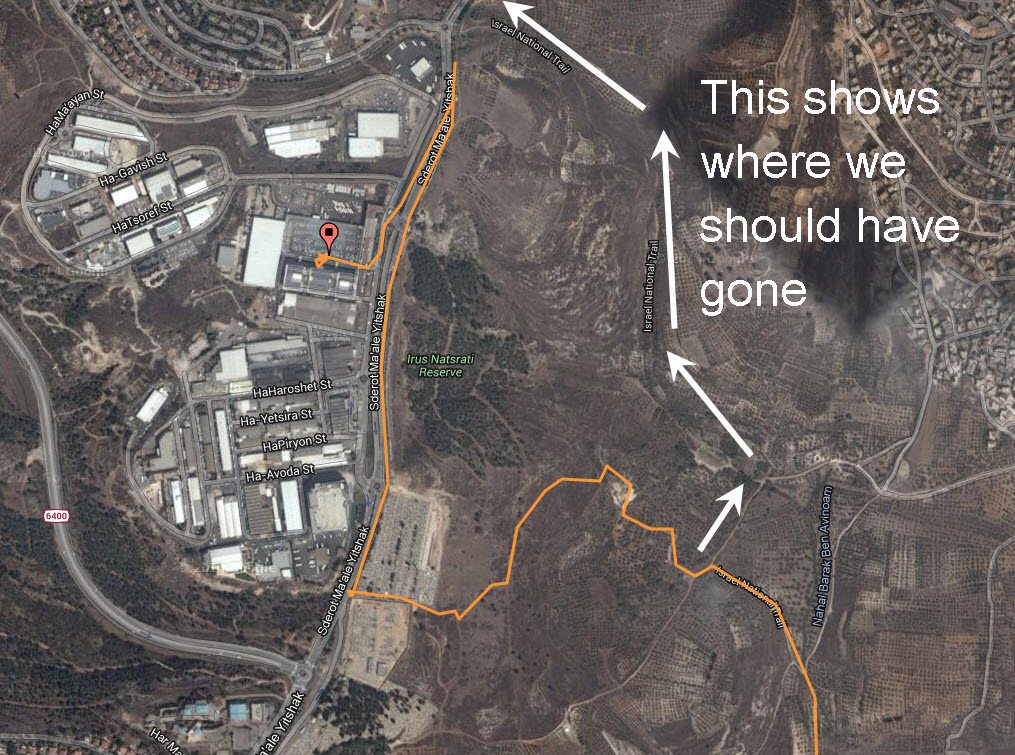
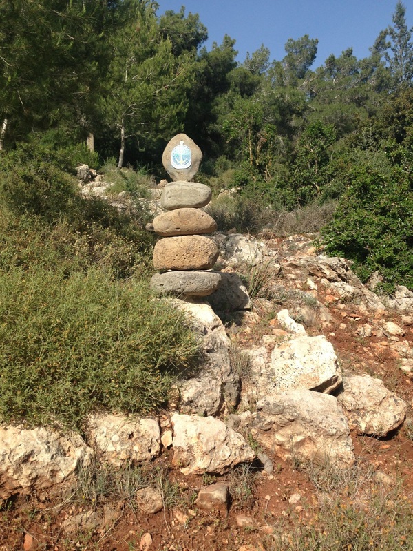
We were following a 4WD road and must have missed the cutoff to the right, continuing instead on a road that just abruptly ended.  We had to scramble uphill through thorny bramble setting our sites on the power lines and cemetery ahead where we knew there would be a road.  It was only when we go to the road that we really figured out where we were.  We continued road walking for  about 1.5 km before going back to a supermarket where we could get a cab to the car that was left at Hoshaya.
Picture
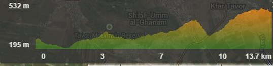
Elevation Details: 550m uphill and 320m downhill.  
Avg speed was around 4km/hour
Picture
Picture
Picture
Picture

Contact Us

            Resources

Other Hikes

Vacation Home in Tsfat

               Copyright © 2017