Ma'ale Tzapir
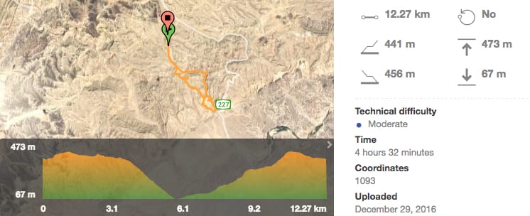
10km Loop Trail
|
This is a really fun family hike with easy road access.
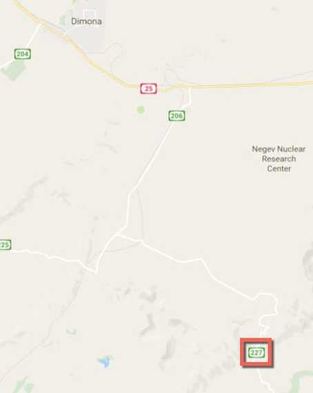
How to get there: Located South East of Dimona off Highway 227. Parking available at the base of the ascent with additioanl access point (for 4x4) at the northern end of the trail. |
You can plug this coordinate into Google Maps or Waze to find the parking lot for the start point:
30.901821, 35.130178 |
|
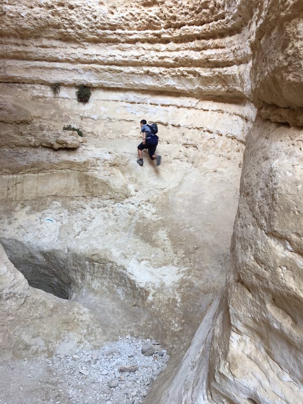
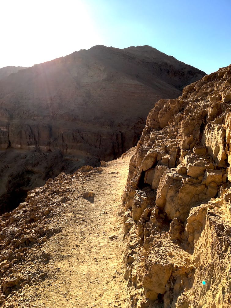
This hike is great fun for a number of reasons. There are technical elements such as boulders and iron rungs. There's also a short section where the narrow path plunges hundreds of metres so probably not the best idea for someone with a serious fear of heights. Having said that, the day we went the path was full of families and I saw at least a dozen kids under the age of five moving along with their parents.
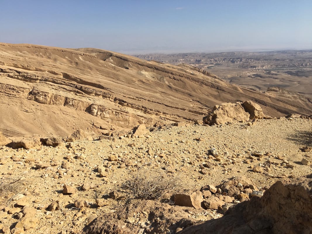
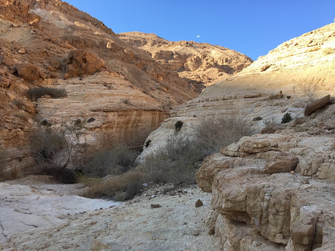
The views are incredible and the topography beautiful and unusual. |
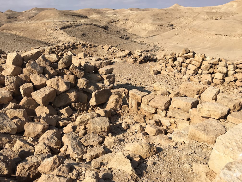
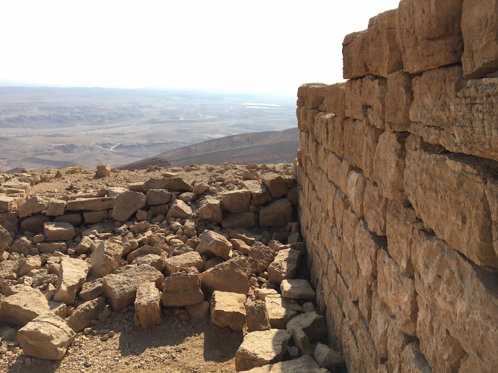
The Roman Empire laid the original ascent in the late 1st century CE and during the Nabatean period, the route became a part of the Spice Route. You can still walk along parts of the original Roman road on the Western side of the hike near the ruins of the fort that once stood there, commanding a view of the entire region.


