
Mount Tabor (#9)
July 29, 2014
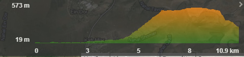
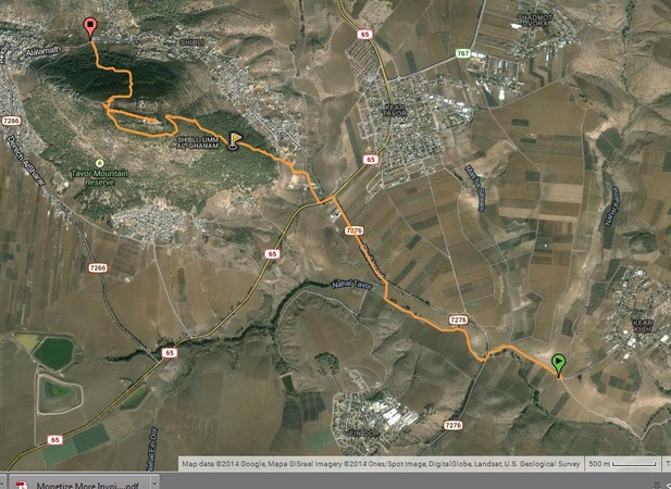
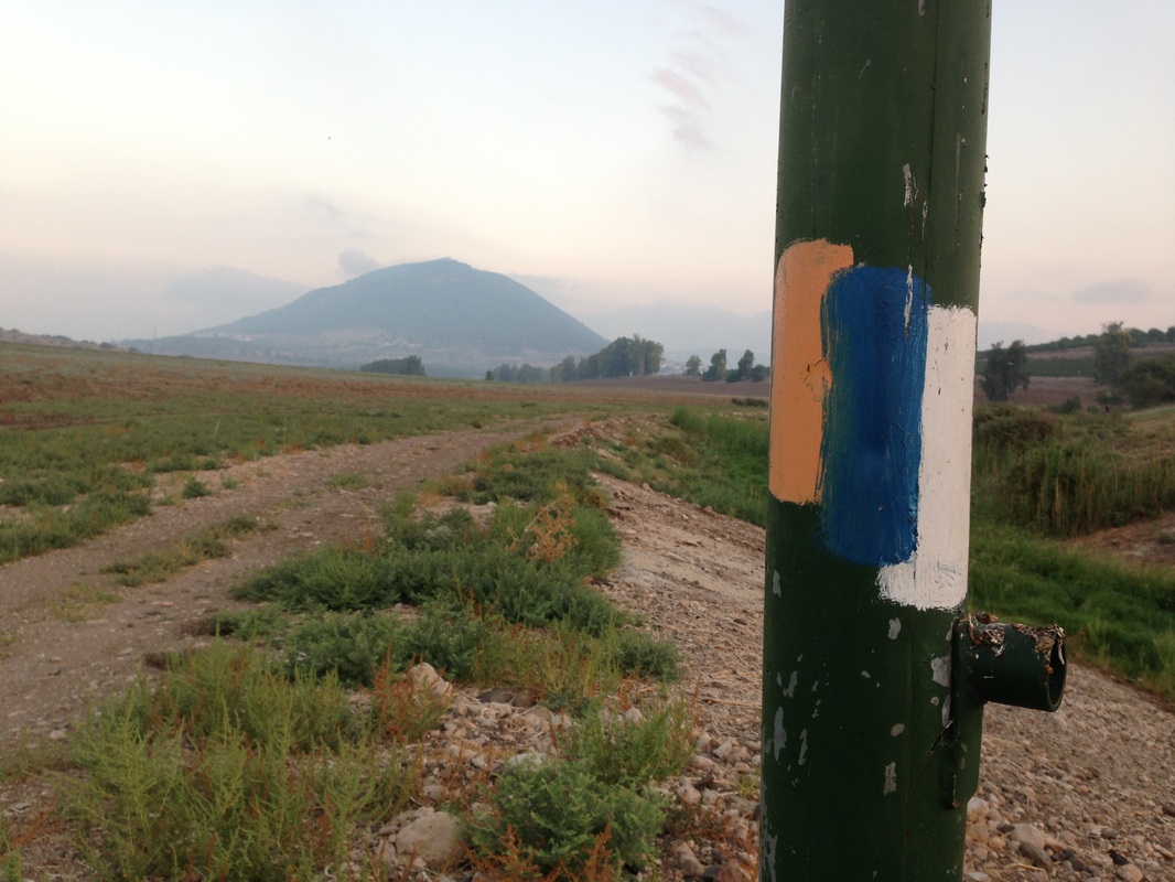
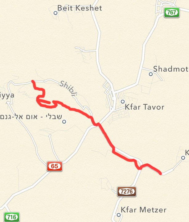
Started walking at 5:45 am to mitigate the heat. We dropped off one car at the end point which was at the north base of Mount Tabor and then drove the second car to the start point at the entrance to Kfar Kish. It is a 5km walk to the base of the mountain from there. From the base it is a 500m ascent over 1.8 km to get to the top. Difficult walk with few switchbacks and challenging grade. Entire hike was about 11km which included 1km of exploring the church grounds up top. The time that it took including breaks was 4:20. Be aware that apart from the gas station near the base of Tabor there is no water available during the hike.
Started walking at 5:45 am to mitigate the heat. We dropped off one car at the end point which was at the north base of Mount Tabor and then drove the second car to the start point at the entrance to Kfar Kish. It is a 5km walk to the base of the mountain from there. From the base it is a 500m ascent over 1.8 km to get to the top. Difficult walk with few switchbacks and challenging grade. Entire hike was about 11km which included 1km of exploring the church grounds up top. The time that it took including breaks was 4:20. Be aware that apart from the gas station near the base of Tabor there is no water available during the hike.
|
Waze drop point at Mount Tabor
32.694162, 35.384507 |
Waze drop point at Kfar Kish
32.661778, 35.437507 |
Link to Wikiloc map http://www.wikiloc.com/wikiloc/view.do?id=7397324
|
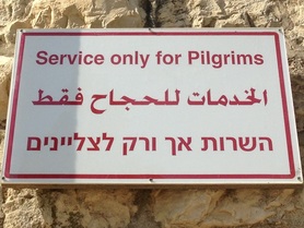
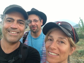
The Pilgrims
|
|
History of Mount Tabor
Look it up in Wikipedia :)
|
|