Nachal Ye'elim
Section 32 (Part 1)
|
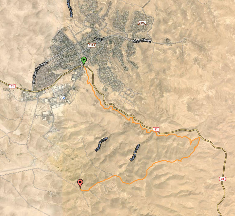
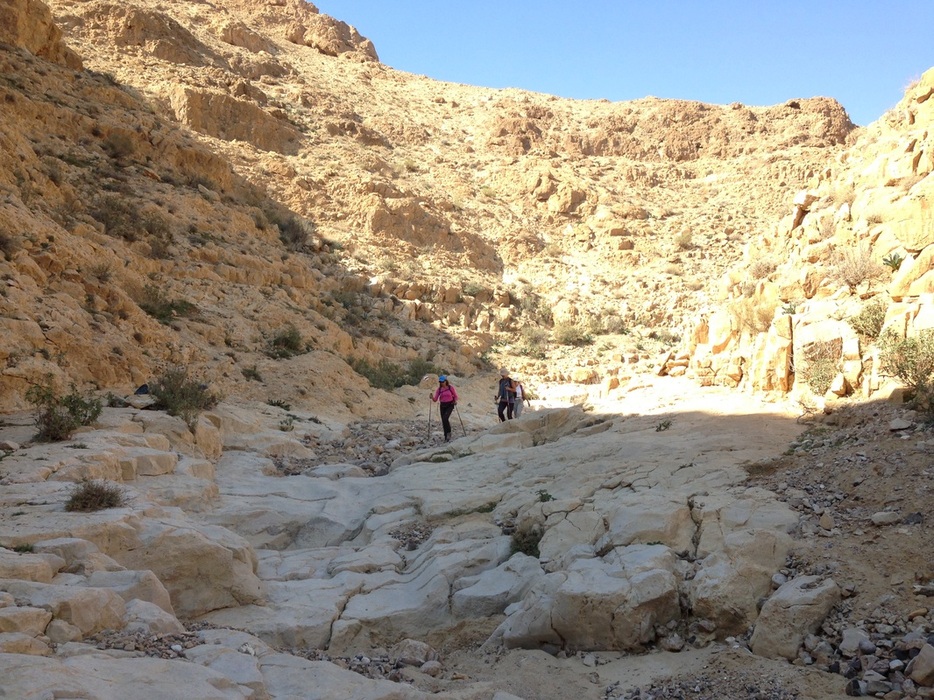
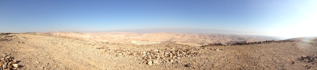
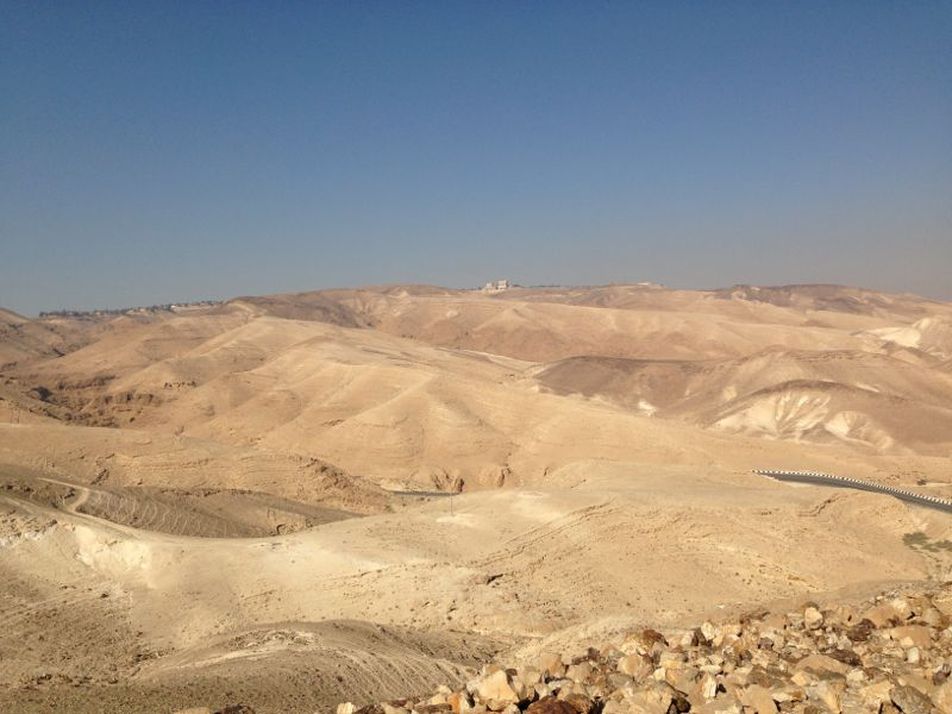
The Israel National Trail passes right through Arad. On this segment we pick up the trail where the road signs announce 'Right to Tel Aviv, left the Dead Sea'. A red marked trail takes us to the river bed. In the hills above us we hear the sounds of a simple flute. A young Bedouin shepherd is entertaining his flock of goats. We continue for about an hour and a half of moderate walking down the river. After about two km the stream deepens and the channels are narrowed. Rock walls on both sides of the wadi have several caves and natural niches. We have been following the contours of road 31 which keeps reappearing above us on the left. Unfortunately, with the road comes a tremendous amount of plastic debris carelessly tossed from cars and blown into the wadi. The red-marked path cuts north east to road 31. We do not cross, but turn right into the path marked in green. It takes us to the top of a hill near the road, and then continue south and we climb a fairly steep rise of about 80m. There we come to the remains of a Roman outpost. What remains are the outside walls, no higher than about 2-3m in places. At each corner of the square fortress one can see where fortified towers once stood. From there is a clear view of the entire Arad Valley. We continue climbing for another 200m. Here, too, there is a beautiful view, and a modest monument in memory of a hiker who was killed in the desert. On a clear day you can clearly see the Dead Sea. From here we connected to the trail marked in blue and turned right. It is a wide 4x4 road built by the British. Our bus was waiting for us several km down the road so this turned out to be a fairly short hike. In fact this segment is only about half of the distance to complete day 32 in the shvil book.
Previous Section Har Amasa to Arad Next Section Arad airstrip to Meitzad Tamar Click here for the Wikiloc link
|
|
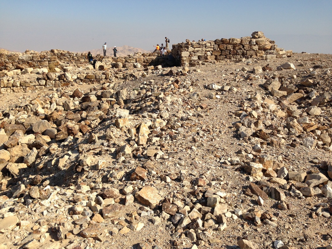
Remains of a Roman Garrison
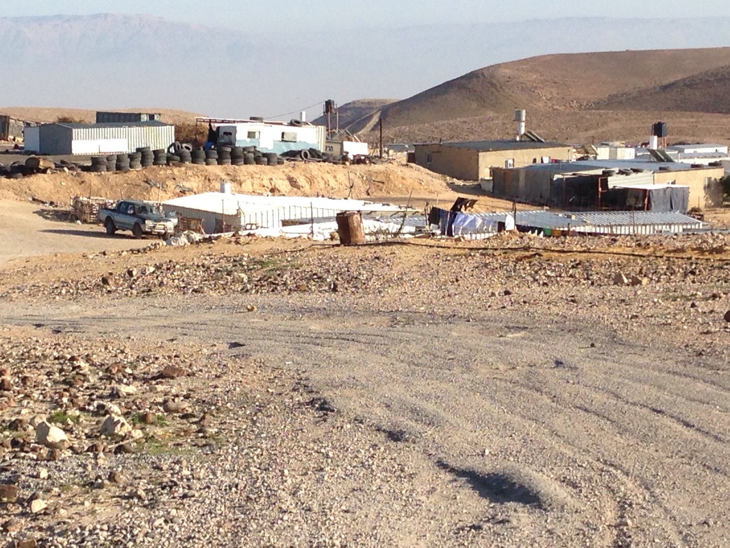
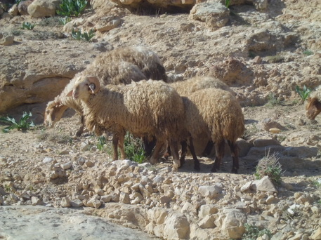
Bedouin Family Enclosure